Skåne Forest & estateGorge & canyonHill walking
Söderåsen National Park
Beech-filled fissure valleys in a farming province
Photograph by en:User:Abelson on Wikimedia Commons
About Söderåsen National Park
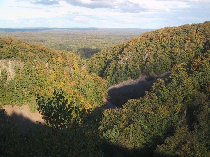
Söderåsen is an elongated bedrock ridge in Scania, carrying the province’s highest point at 212 metres and cut through by several fissure valleys. It runs from Röstånga in the south-east to Åstorp in the north-west, and Söderåsen National Park lies about 30 kilometres east of Helsingborg. Those fissure valleys are the reason to come: steep-sided, beech-filled ravines wooded with beech, douglas fir, oak and ash, and quite unlike the farmland of the rest of Scania.
Watch
Read and plan
Nearby, across borders
Within 60 km as the crow flies, in any country.