Skåne Bos & landgoedGorge & canyonBergwandelen
Söderåsen National Park
Beech-filled fissure valleys in a farming province
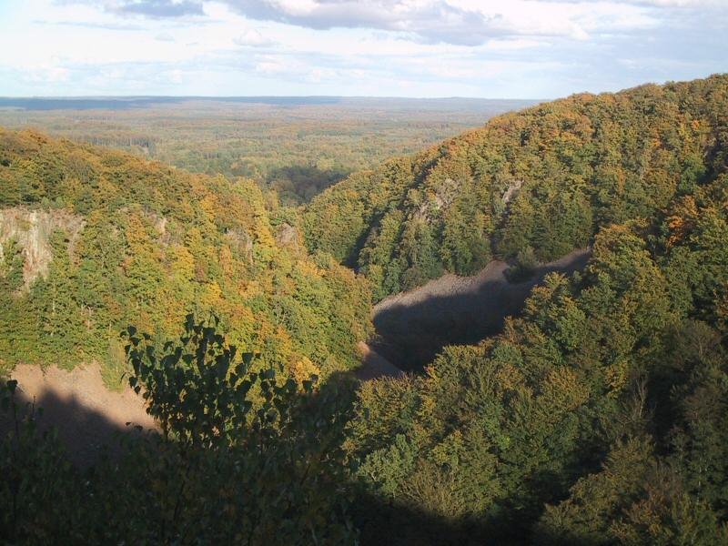
Foto door en:User:Abelson op Wikimedia Commons
Nog niet beschikbaar in het Nederlands. Weergegeven in het Engels.
Over Söderåsen National Park
Söderåsen is an elongated bedrock ridge in Scania, carrying the province’s highest point at 212 metres and cut through by several fissure valleys. It runs from Röstånga in the south-east to Åstorp in the north-west, and Söderåsen National Park lies about 30 kilometres east of Helsingborg. Those fissure valleys are the reason to come: steep-sided, beech-filled ravines wooded with beech, douglas fir, oak and ash, and quite unlike the farmland of the rest of Scania.
Kijken
Lezen en plannen
In de buurt, over de grens
Binnen 60 km van deze plek, in elk land.

Rustiger in de buurt
Meer plekken van een ander soort binnen 60 km.