Zum Inhalt springen

Live-Demo von EntoHub · 798 Orte in 19 Ländern · Ihre Inhalte könnten auf dieser Plattform stehen

Gebaut von EntoDigital

Irland

40 Orte in 6 Regionen. Filtern, Favoriten speichern und die Reise planen.

40 Orte

FrühlingSommerHerbst
Wild Atlantic Way — North

Achill Island

The largest of the Irish isles

Mittel Coastal & cliff walking VideoArtikelKarte Auf Englisch
FrühlingSommerHerbst
Wild Atlantic Way — West

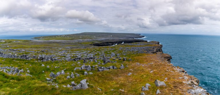
Aran Islands

Three islands, and a living Gaeltacht

Mittel Coastal & cliff walking VideoArtikelKarte Auf Englisch
FrühlingSommerHerbst
Wild Atlantic Way — North

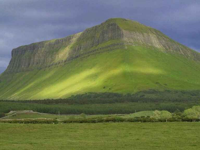
Benbulbin

A plateau cut to a knife by ice

Schwer Heideland und Moor VideoArtikelKarte Auf Englisch
Ganzjährig
Wild Atlantic Way — South

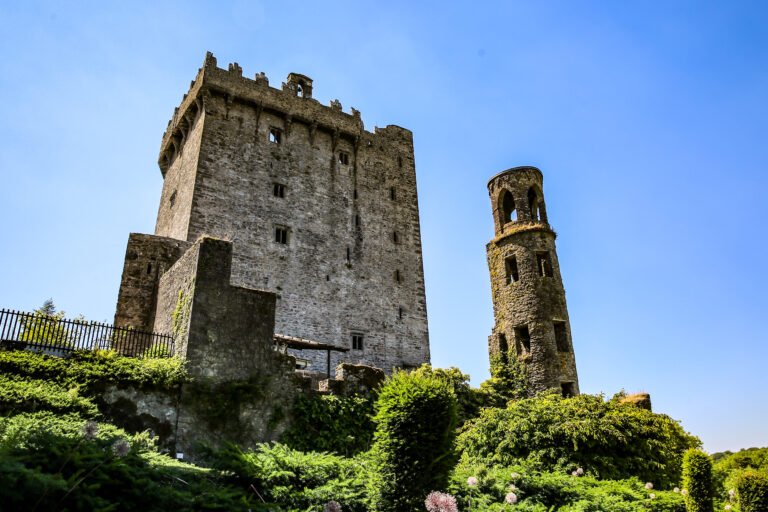
Blarney Castle

A stone among the machicolations

Leicht Schloss und Landhaus VideoArtikelKarte Auf Englisch
FrühlingSommerHerbst
East Coast & Midlands

Boyne Valley

Ptolemy mapped it as the white cow

Leicht Barrierefreies Wandern VideoArtikelKarte Auf Englisch
Ganzjährig
Wild Atlantic Way — West

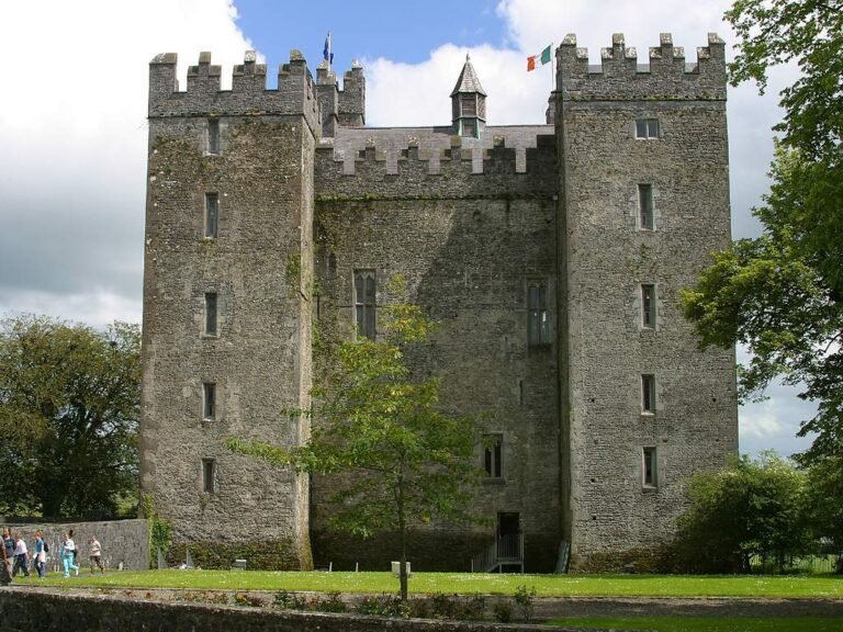
Bunratty Castle

A tower house on the Ratty River

Leicht Schloss und Landhaus VideoArtikelKarte Auf Englisch
FrühlingSommerHerbst
Wild Atlantic Way — North

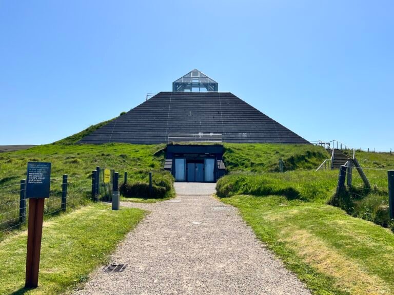
Céide Fields

A hundred kilometres of wall under the bog

Leicht Coastal & cliff walking VideoArtikelKarte Auf Englisch
Ganzjährig
Wild Atlantic Way — West

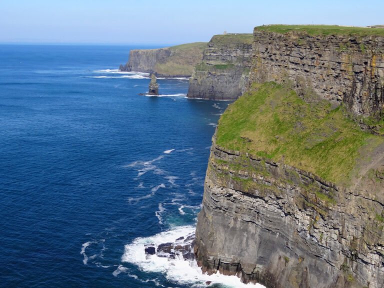
Cliffs of Moher

214 metres at their highest point

Mittel Barrierefreies Wandern VideoArtikelKarte Auf Englisch
FrühlingSommerHerbst
East Coast & Midlands

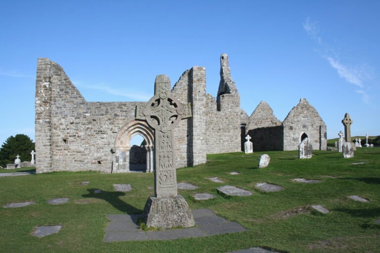
Clonmacnoise

Where the great road met the Shannon

Leicht Abbey & monastery VideoArtikelKarte Auf Englisch
FrühlingSommerHerbst
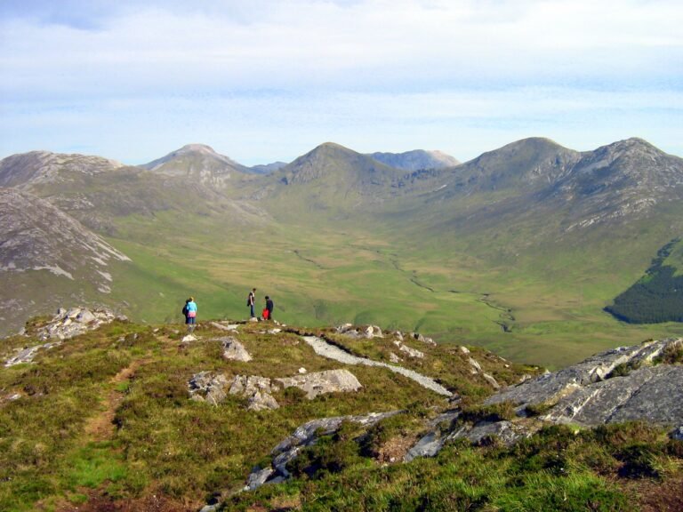
Wild Atlantic Way — West

Connemara National Park

Blanket bog, and carnivorous plants

Mittel Heideland und Moor VideoArtikelKarte Auf Englisch
Ganzjährig
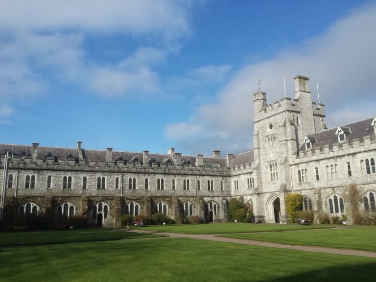
Wild Atlantic Way — South

Cork

The rebel city, on an island in the Lee

Leicht Barrierefreies Wandern VideoArtikelKarte Auf Englisch
FrühlingSommerHerbst
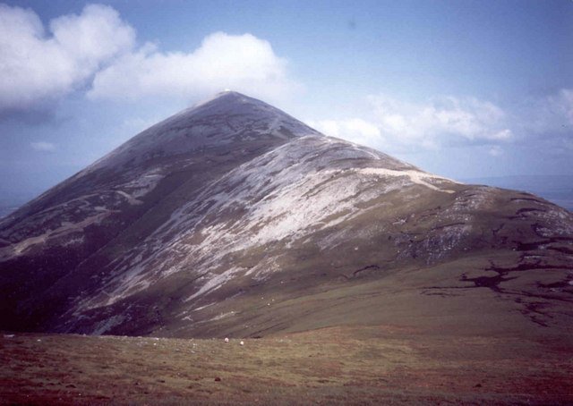
Wild Atlantic Way — North

Croagh Patrick

The Reek, climbed every Reek Sunday

Schwer Church & sacred site VideoArtikelKarte Auf Englisch
FrühlingSommerHerbst
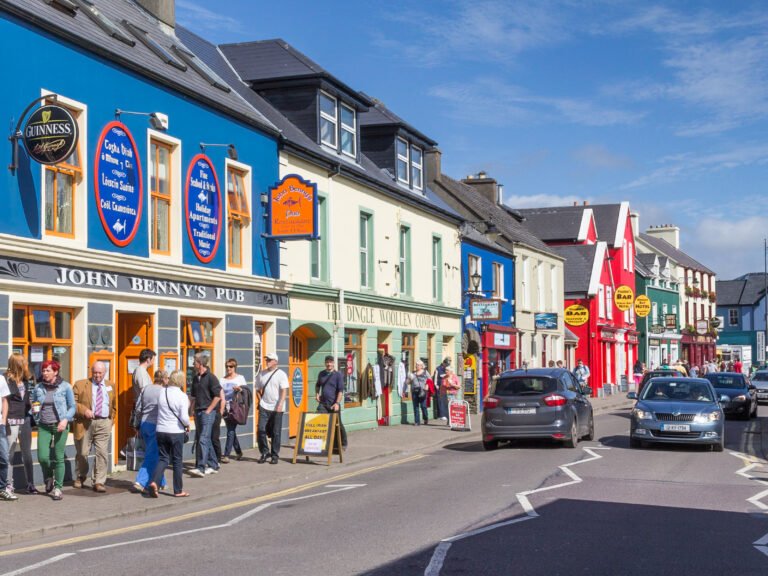
Wild Atlantic Way — South

Dingle

The oldest average age of any Irish town

Leicht Coastal & cliff walking VideoArtikelKarte Auf Englisch
Ganzjährig
Wild Atlantic Way — North

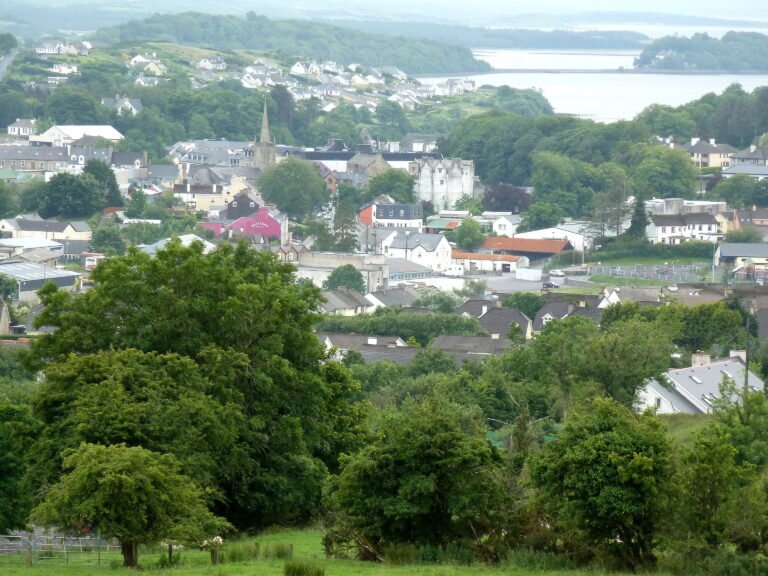
Donegal Town

Capital of Tyrconnell under the O'Donnells

Leicht Barrierefreies Wandern VideoArtikelKarte Auf Englisch
FrühlingSommerHerbst
Wild Atlantic Way — West

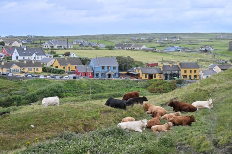
Doolin

Traditional music, played nightly

Leicht Barrierefreies Wandern VideoArtikelKarte Auf Englisch
Ganzjährig
Dublin

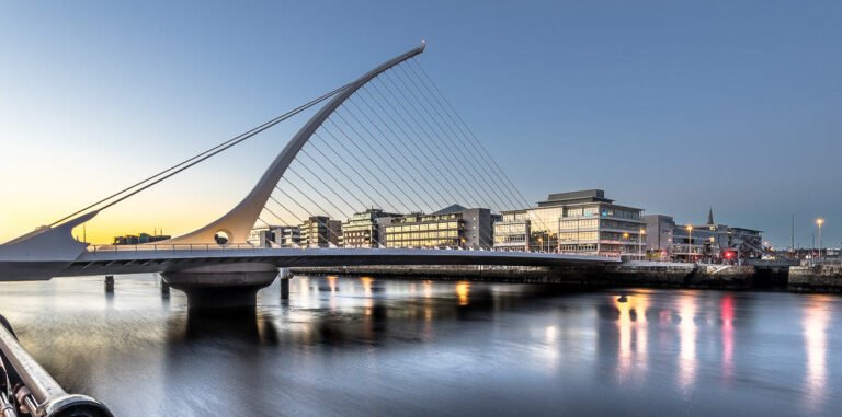
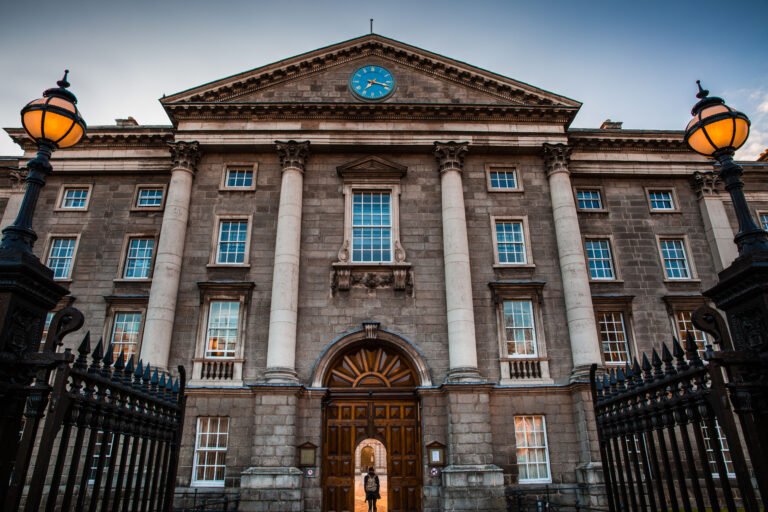
Dublin

Blackpool, in Middle Irish, Du(i)blind

Leicht Barrierefreies Wandern VideoArtikelKarte Auf Englisch
Ganzjährig
Wild Atlantic Way — West

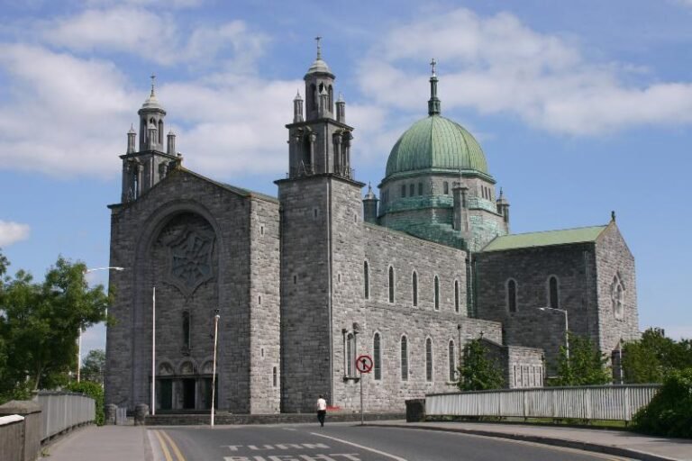
Galway

Run for centuries by the Tribes of Galway

Leicht Barrierefreies Wandern VideoArtikelKarte Auf Englisch
FrühlingSommerHerbst
East Coast & Midlands

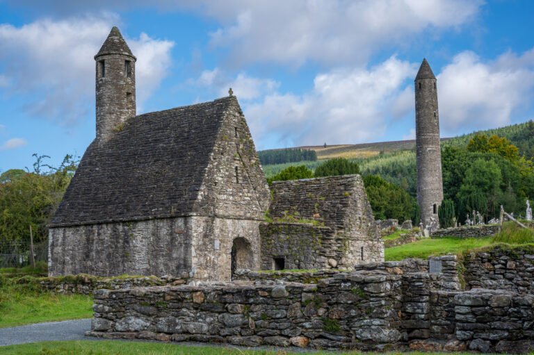
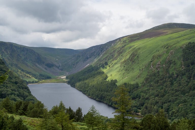
Glendalough

The valley of two lakes, and St Kevin

Mittel Abbey & monastery VideoArtikelKarte Auf Englisch
FrühlingSommerHerbst
Wild Atlantic Way — North

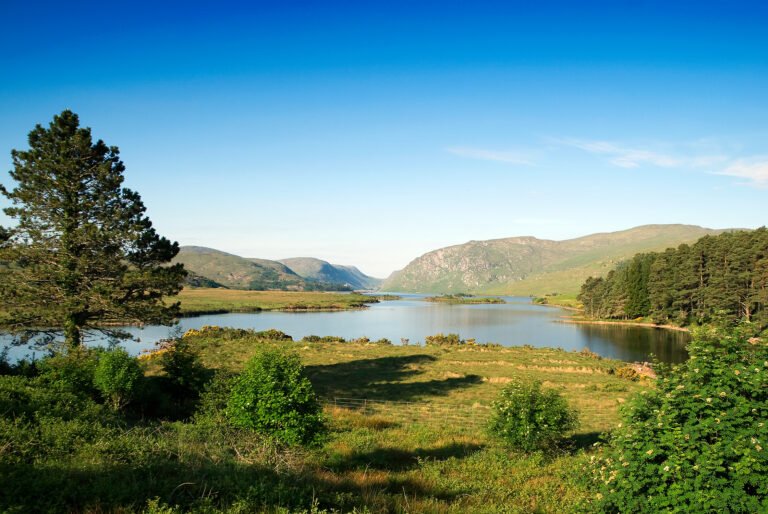
Glenveagh National Park

The only national park in Ulster

Mittel Schloss und Landhaus VideoArtikelKarte Auf Englisch
FrühlingSommerHerbst
East Coast & Midlands

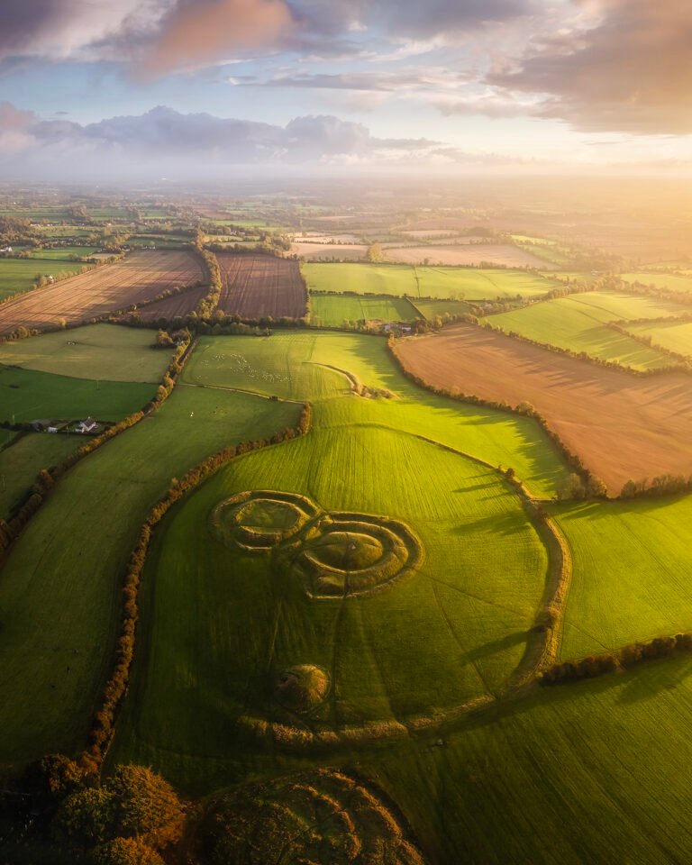
Hill of Tara

The seat of the High Kings of Ireland

Leicht Barrierefreies Wandern VideoArtikelKarte Auf Englisch
Ganzjährig
Ireland's Ancient East

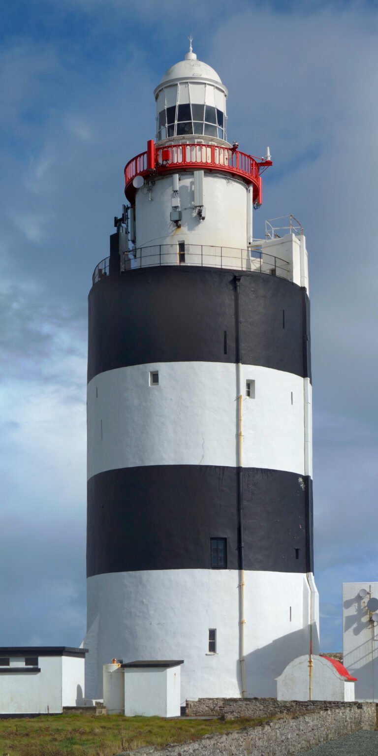
Hook Lighthouse

The second-oldest working lighthouse on Earth

Leicht Kunst & Museum VideoArtikelKarte Auf Englisch
Ganzjährig
Ireland's Ancient East

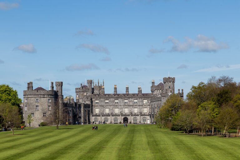
Kilkenny

A Norman merchant town on the Nore

Leicht Barrierefreies Wandern VideoArtikelKarte Auf Englisch
Ganzjährig
Dublin

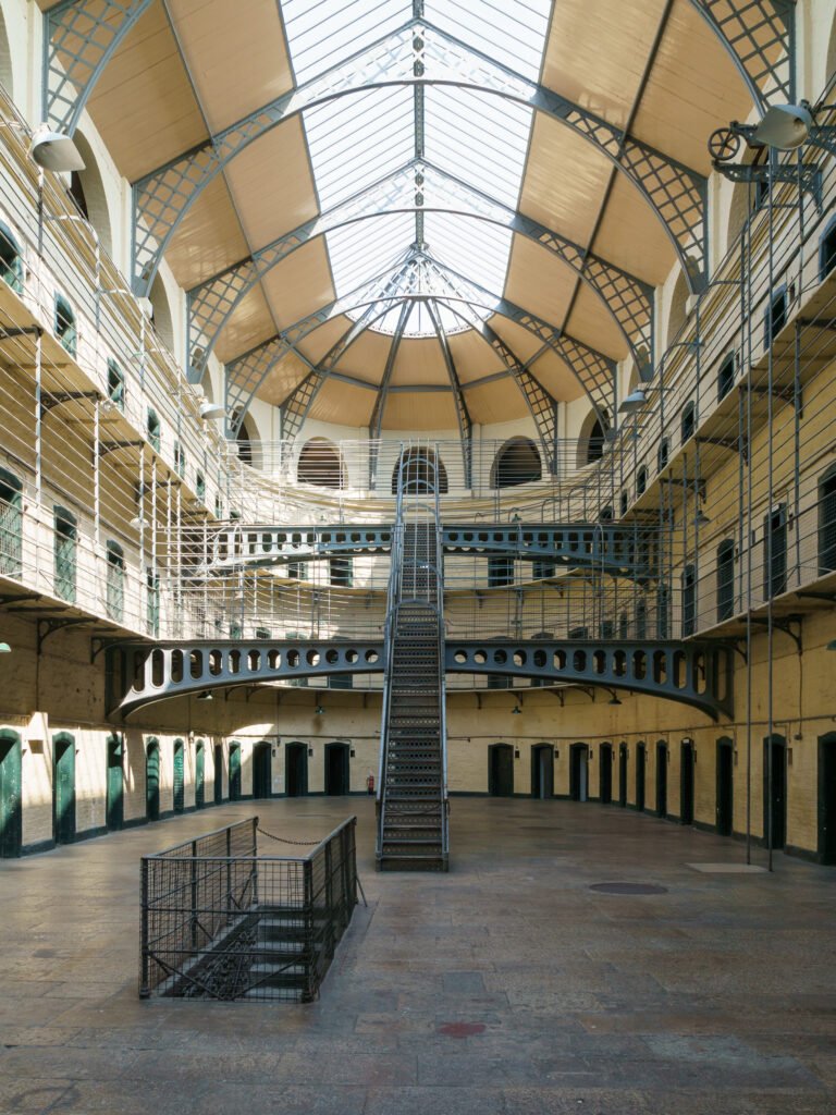
Kilmainham Gaol

One candle, to last a fortnight

Leicht Barrierefreies Wandern VideoArtikelKarte Auf Englisch
FrühlingSommerHerbst
Wild Atlantic Way — South

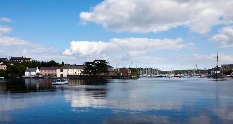
Kinsale

Head of the brine, and a Michelin star

Leicht Coastal & cliff walking VideoArtikelKarte Auf Englisch
Ganzjährig
Wild Atlantic Way — West

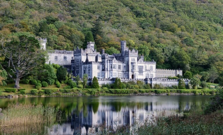
Kylemore Abbey

Built in four years by a hundred men

Leicht Abbey & monastery VideoArtikelKarte Auf Englisch
Ganzjährig
Wild Atlantic Way — North

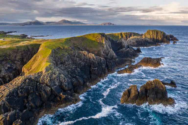
Malin Head

The most northerly point of the mainland

Leicht Barrierefreies Wandern VideoArtikelKarte Auf Englisch
Ganzjährig
East Coast & Midlands

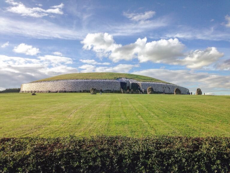
Newgrange

Older than Stonehenge and the pyramids

Leicht Barrierefreies Wandern VideoArtikelKarte Auf Englisch
Ganzjährig
East Coast & Midlands

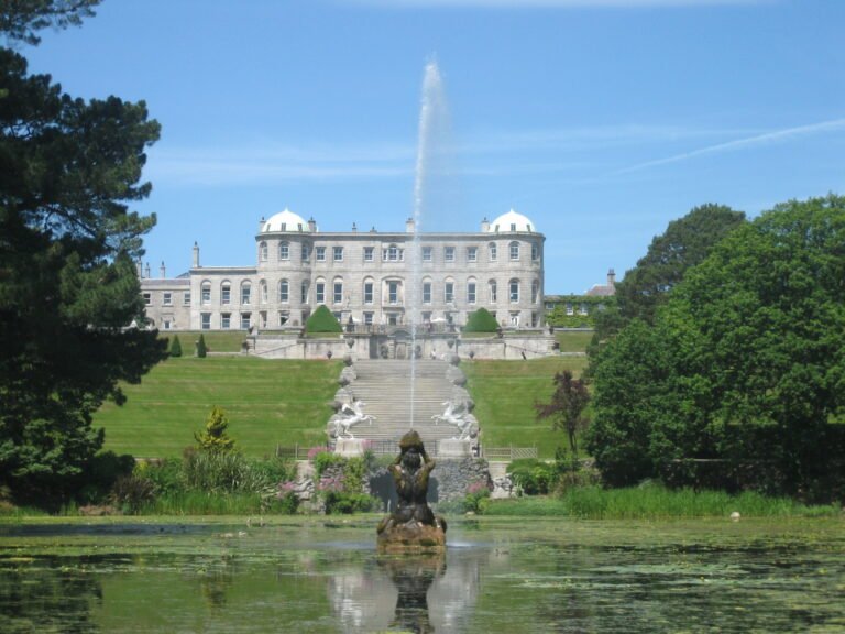
Powerscourt Estate

A gutted shell from 1974 until 1996

Leicht Barrierefreies Wandern VideoArtikelKarte Auf Englisch
FrühlingSommerHerbst
Wild Atlantic Way — South

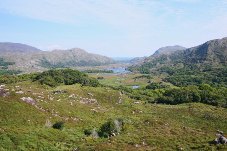
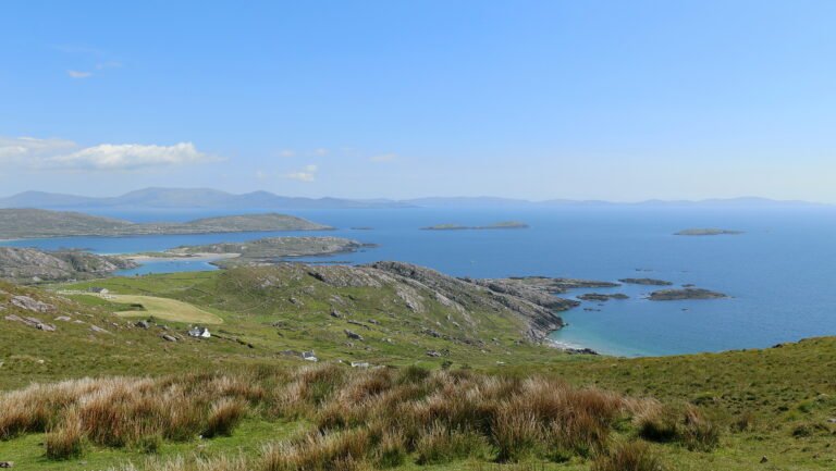
Ring of Kerry

179 kilometres around the Iveragh Peninsula

Leicht Schloss und Landhaus VideoArtikelKarte Auf Englisch
Ganzjährig
Ireland's Ancient East

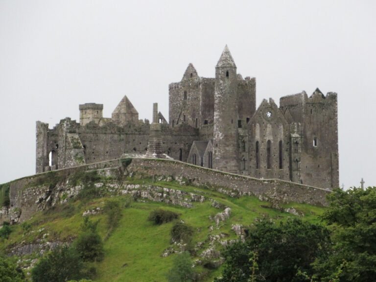
Rock of Cashel

Where Brian Boru was crowned in 977

Leicht Kunst & Museum VideoArtikelKarte Auf Englisch
SommerHerbst
Wild Atlantic Way — South

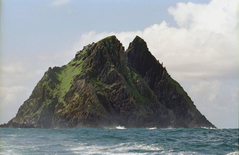
Skellig Michael

A monastery on a crag, 11.6 km offshore

Schwer Abbey & monastery VideoArtikelKarte Auf Englisch
FrühlingSommerHerbst
Wild Atlantic Way — South

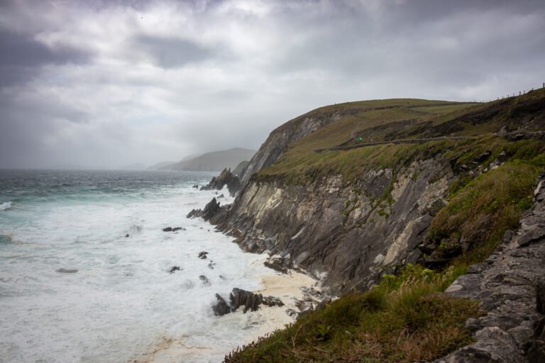
Slea Head

Old red sandstone, and the Blasket Islands beyond

Mittel Coastal & cliff walking VideoArtikelKarte Auf Englisch
FrühlingSommerHerbst
Wild Atlantic Way — North

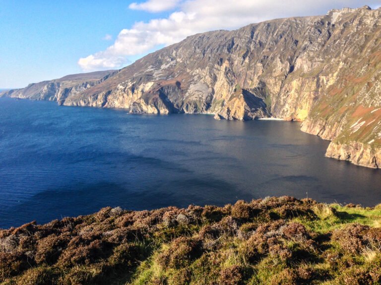
Slieve League

Ireland's second-highest sea cliffs

Schwer Alpine & high mountain VideoArtikelKarte Auf Englisch
Ganzjährig
Wild Atlantic Way — North

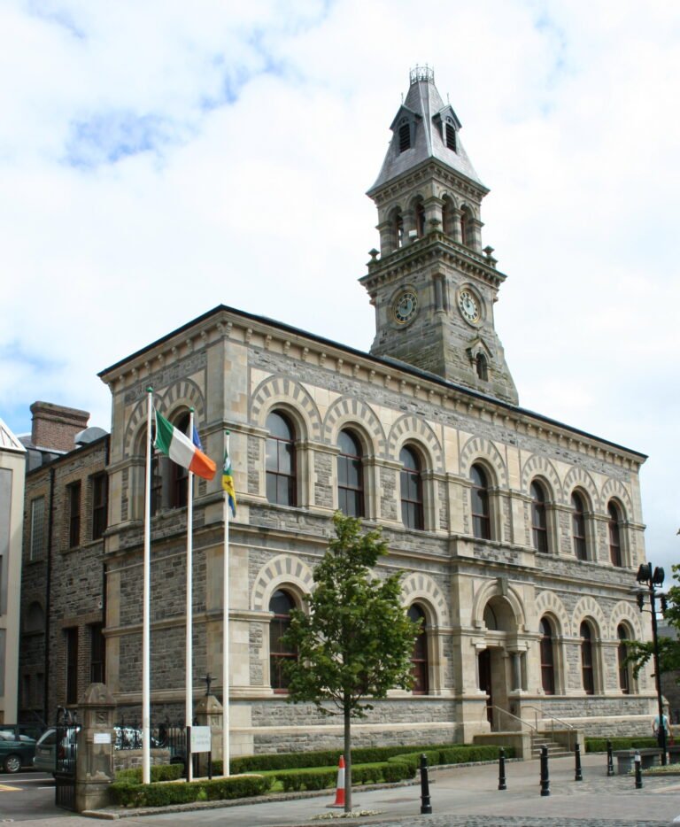
Sligo

Abounding in shells, and Yeats Country

Leicht Barrierefreies Wandern VideoArtikelKarte Auf Englisch
FrühlingSommerHerbst
Wild Atlantic Way — West

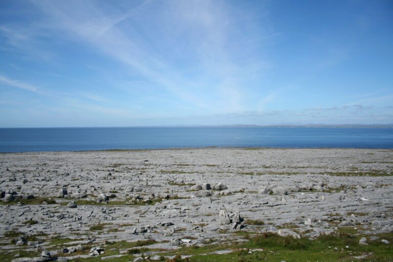
The Burren

A rocky district of bare limestone

Mittel Heideland und Moor VideoArtikelKarte Auf Englisch
Ganzjährig
East Coast & Midlands

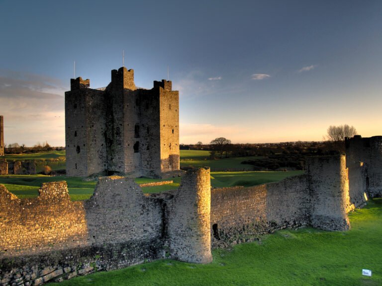
Trim Castle

Thirty thousand square metres above the Boyne

Leicht Schloss und Landhaus VideoArtikelKarte Auf Englisch
Ganzjährig
Ireland's Ancient East

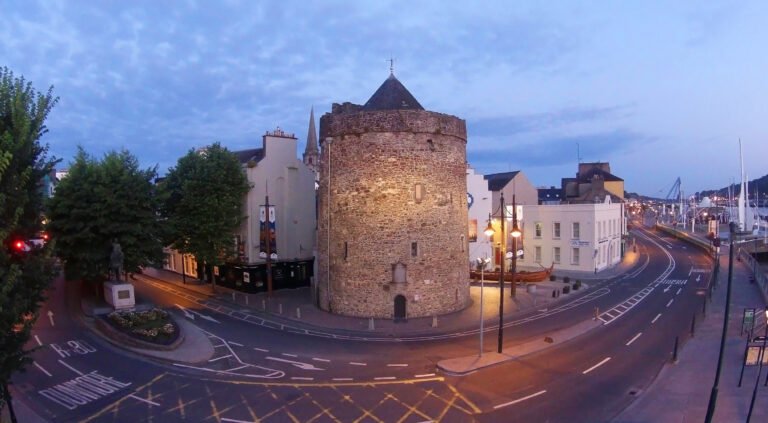
Waterford

The untaken city, making glass since 1783

Leicht Barrierefreies Wandern VideoArtikelKarte Auf Englisch