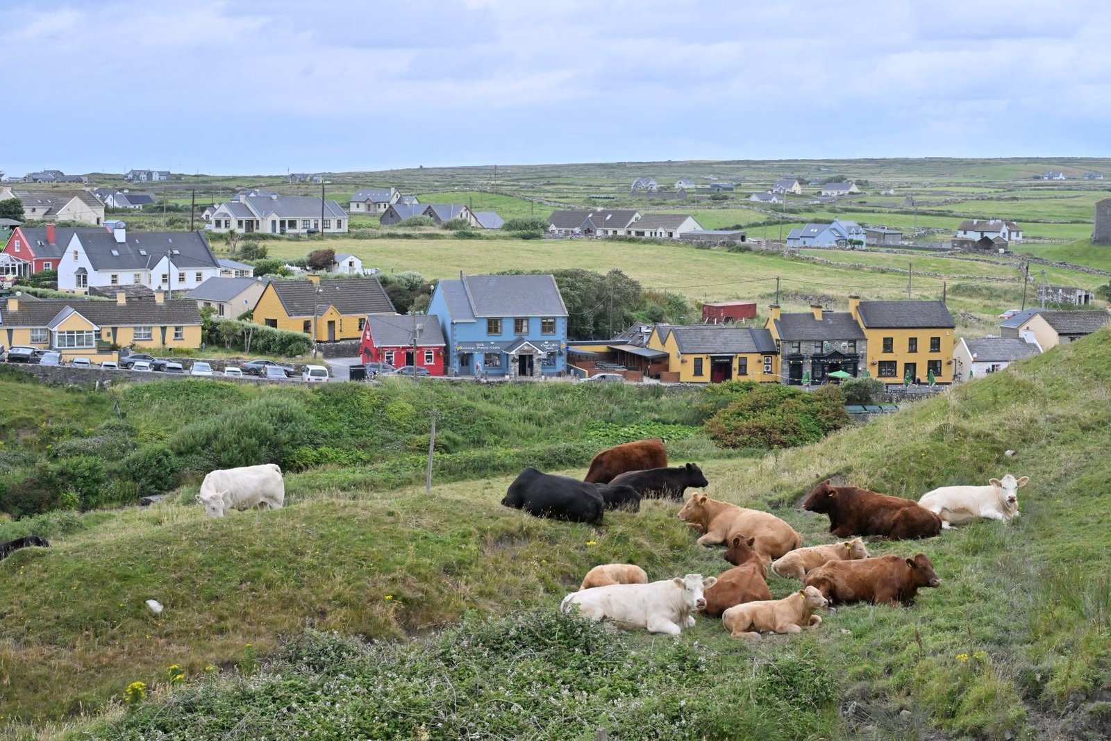
Doolin
Traditional music, played nightly
Foto von Ekki3 auf Wikimedia Commons
Noch nicht auf Deutsch verfügbar. Angezeigt wird die Fassung auf Englisch.
Über Doolin
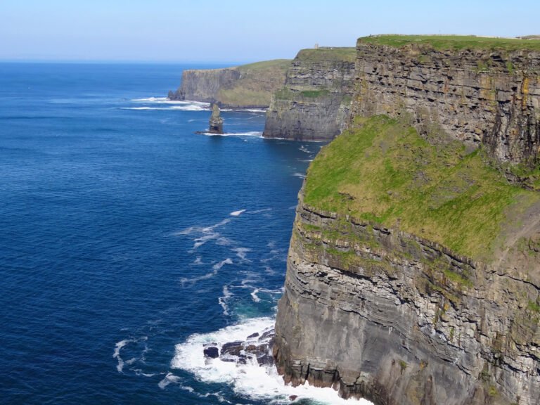
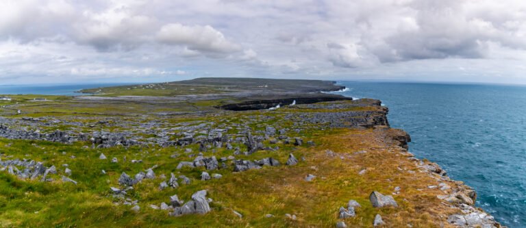
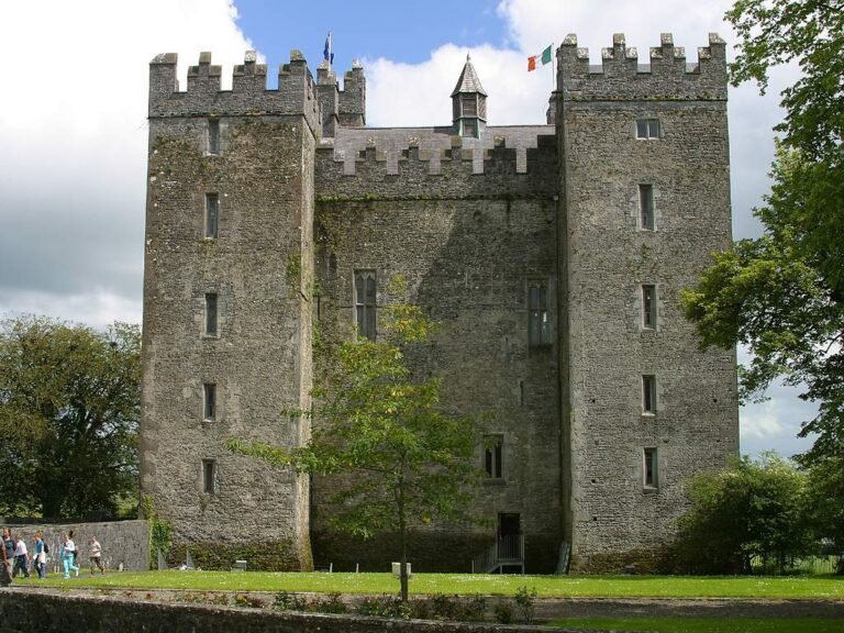
A coastal village four miles from the Cliffs of Moher, known above all as a centre of traditional Irish music, played nightly in its pubs. It has no defined centre, being a set of scattered sections, the Harbour, where boats leave for the Aran Islands and the cliffs; Fisher Street with O’Connor’s; Fitz’s Cross; and Roadford with McGann’s and McDermott’s. The area was officially part of the West Clare Gaeltacht before the 1950s and keeps its connection to Irish-speaking places, not least by sea to the Aran Islands. Doonagore and Ballinalacken castles stand nearby.
Ansehen
Lesen und planen
In der Nähe, über Grenzen hinweg
Im Umkreis von 60 km um diesen Ort, in jedem Land.