Wild Atlantic Way — West Schloss und LandhausFestungen und militärisches ErbeFreilichtmuseum
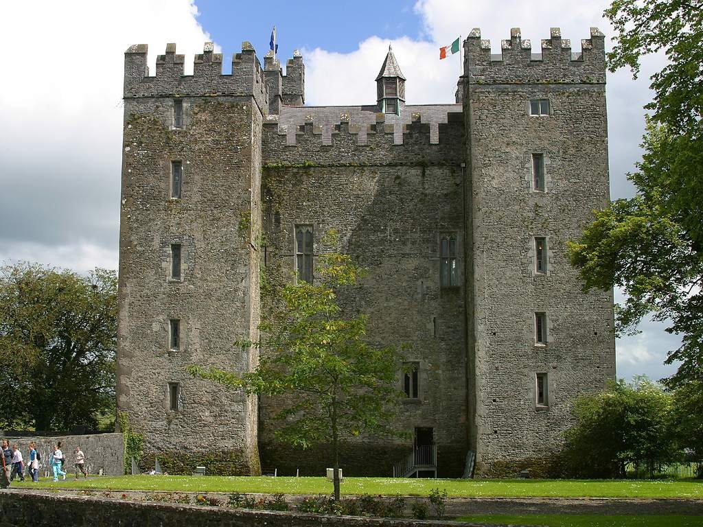
Bunratty Castle
A tower house on the Ratty River
Foto von Jon Sullivan auf Wikimedia Commons
Noch nicht auf Deutsch verfügbar. Angezeigt wird die Fassung auf Englisch.
Über Bunratty Castle
A large fifteenth-century tower house in the middle of Bunratty village, on the road between Limerick and Ennis; the name means mouth of the Ratty River, another name for the Owenogarney, which runs past the castle into the Shannon Estuary. The Annals of the Four Masters report a Norse trading camp here destroyed by Brian Boru in 977, though no remains have been found. Henry III granted the district to Robert De Muscegros around 1250, and in 1251 he felled some 200 trees in the King’s wood at Cratloe, probably for the first castle on the site.
Ansehen
Lesen und planen
In der Nähe, über Grenzen hinweg
Im Umkreis von 60 km um diesen Ort, in jedem Land.