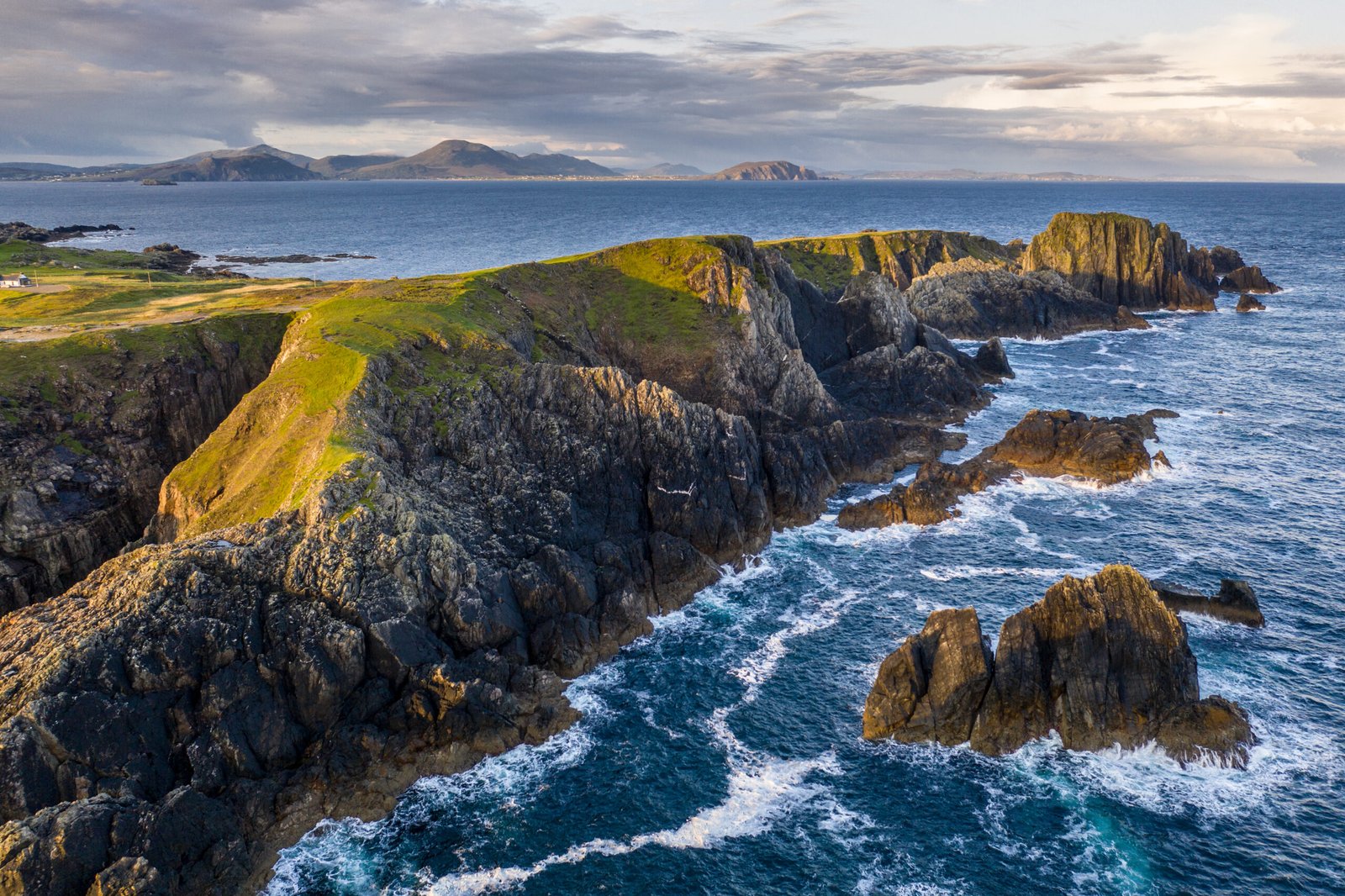
Malin Head
The most northerly point of the mainland
Foto von Kent Wang auf Wikimedia Commons
Noch nicht auf Deutsch verfügbar. Angezeigt wird die Fassung auf Englisch.
Über Malin Head
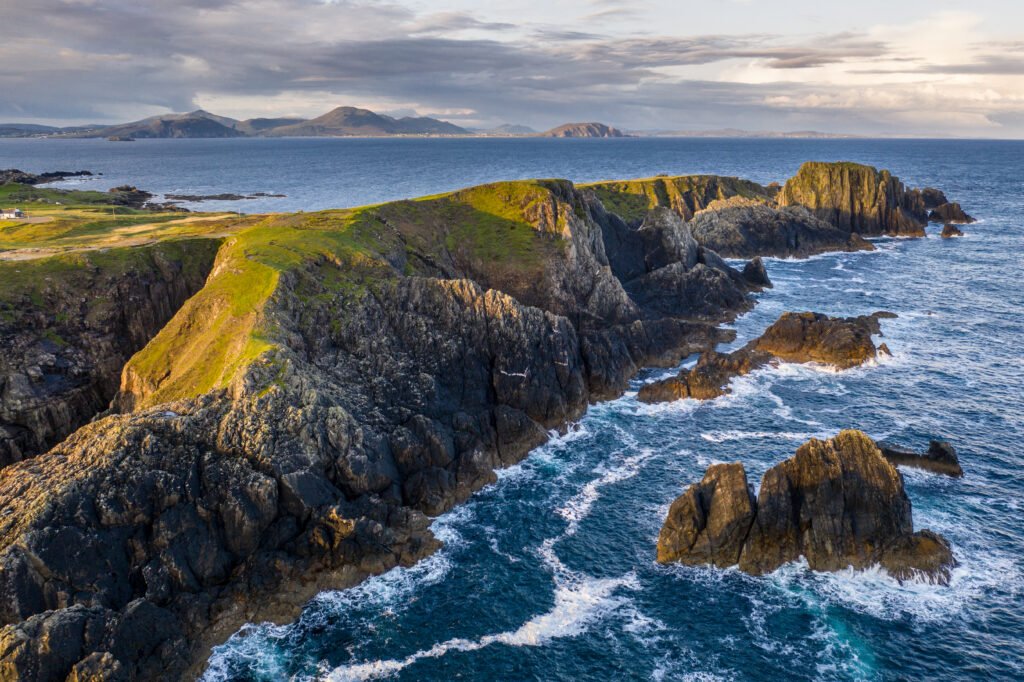
The most northerly point of mainland Ireland, on the Inishowen peninsula, with its northernmost tip at Dunalderagh. It gives its name to the Malin sea area, and the weather station here is one of twenty-two whose reports are read out in the BBC Shipping Forecast. A tower of 1805 stands on Altnadarrow. Ptolemy’s Geography in the second century described a point called Boreion, the northern, which probably meant this headland. Below the tower lies Ballyhillion, a raised beach system of international scientific importance recording the land rising as the glaciers melted.
Ansehen
Lesen und planen
In der Nähe, über Grenzen hinweg
Im Umkreis von 60 km um diesen Ort, in jedem Land.