Wild Atlantic Way — North Accessible walkingAurora & night skyCoastal & cliff walking
Malin Head
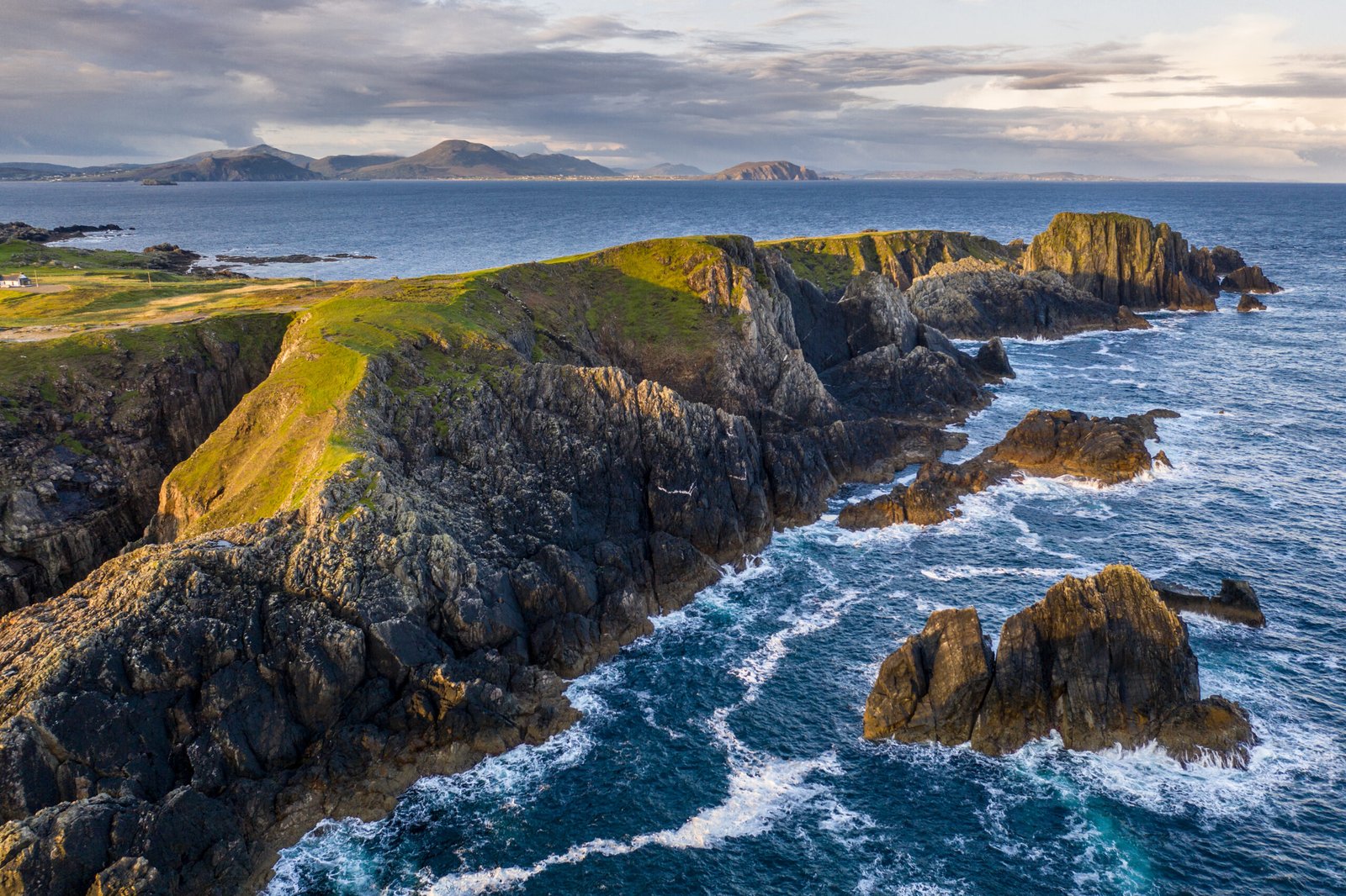
The most northerly point of the mainland
Photograph by Kent Wang on Wikimedia Commons
About Malin Head
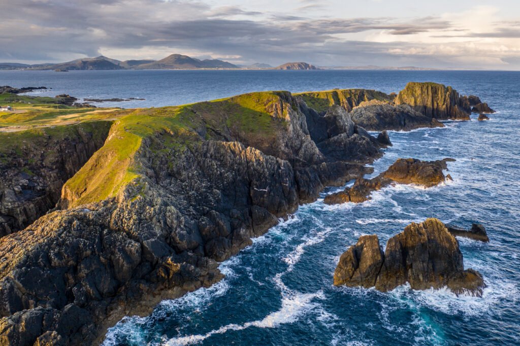
The most northerly point of mainland Ireland, on the Inishowen peninsula, with its northernmost tip at Dunalderagh. It gives its name to the Malin sea area, and the weather station here is one of twenty-two whose reports are read out in the BBC Shipping Forecast. A tower of 1805 stands on Altnadarrow. Ptolemy’s Geography in the second century described a point called Boreion, the northern, which probably meant this headland. Below the tower lies Ballyhillion, a raised beach system of international scientific importance recording the land rising as the glaciers melted.
Watch
Read and plan
Nearby, across borders
Within 60 km as the crow flies, in any country.