Wild Atlantic Way — North Barrierefreies WandernSchloss und LandhausCoastal & cliff walking
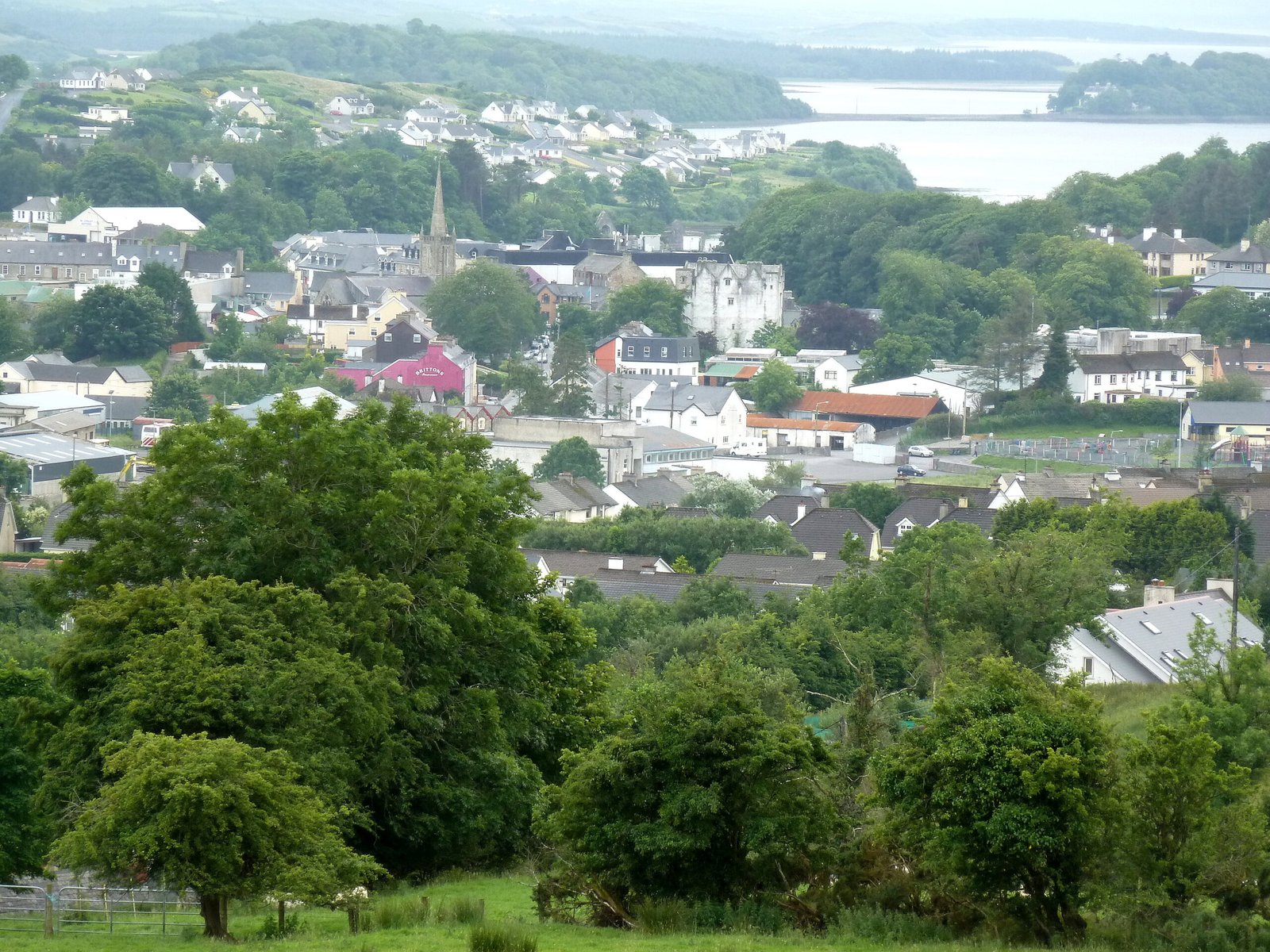
Donegal Town
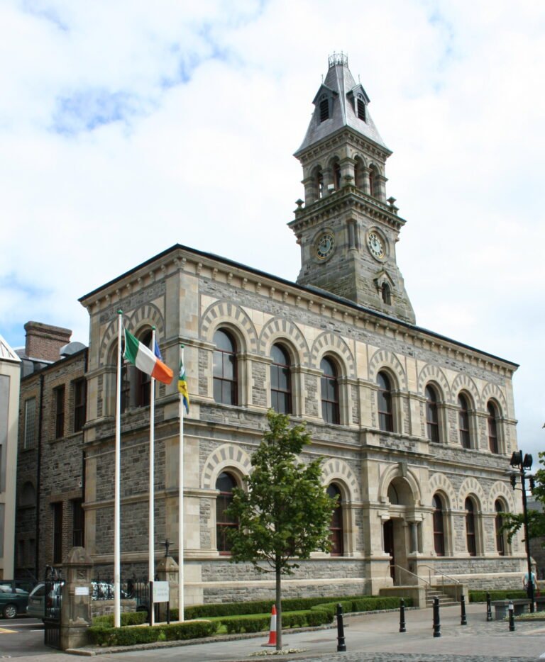
Capital of Tyrconnell under the O'Donnells
Foto von louise price auf Wikimedia Commons
Noch nicht auf Deutsch verfügbar. Angezeigt wird die Fassung auf Englisch.
Über Donegal Town
From the fifteenth century until the early seventeenth this was the capital of Tyrconnell, the Gaelic kingdom held by the O’Donnell dynasty of the Northern Uí Néill, and although the town gave the county its name, Lifford is now the county town. It stands at the mouth of the River Eske on Donegal Bay, with the Blue Stack Mountains behind. The centre, called The Diamond, is the hub for music, poetry and cultural gatherings, and carries a memorial to the Four Masters. The name means fort of the foreigners.
Ansehen
Lesen und planen
In der Nähe, über Grenzen hinweg
Im Umkreis von 60 km um diesen Ort, in jedem Land.