East Coast & Midlands Schloss und LandhausFestungen und militärisches ErbeRiver valley
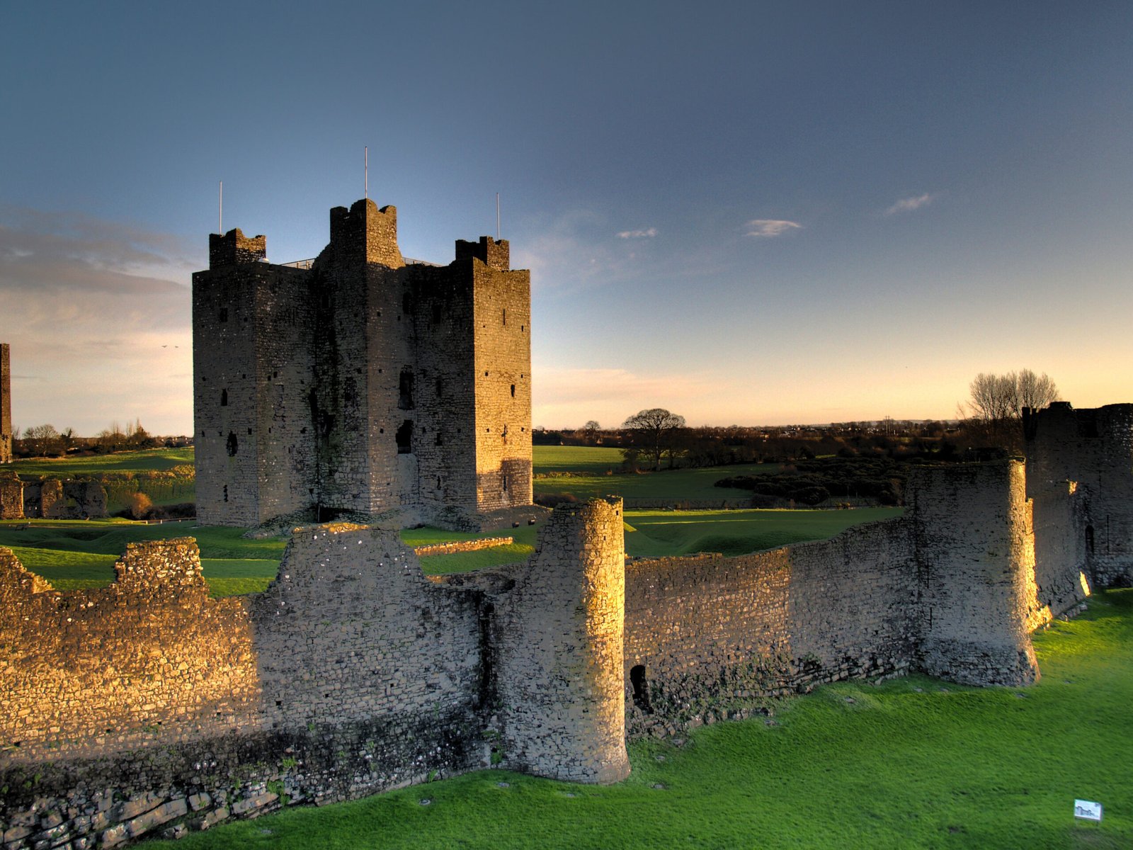
Trim Castle
Thirty thousand square metres above the Boyne
Foto von Andrew Parnell auf Wikimedia Commons
Noch nicht auf Deutsch verfügbar. Angezeigt wird die Fassung auf Englisch.
Über Trim Castle
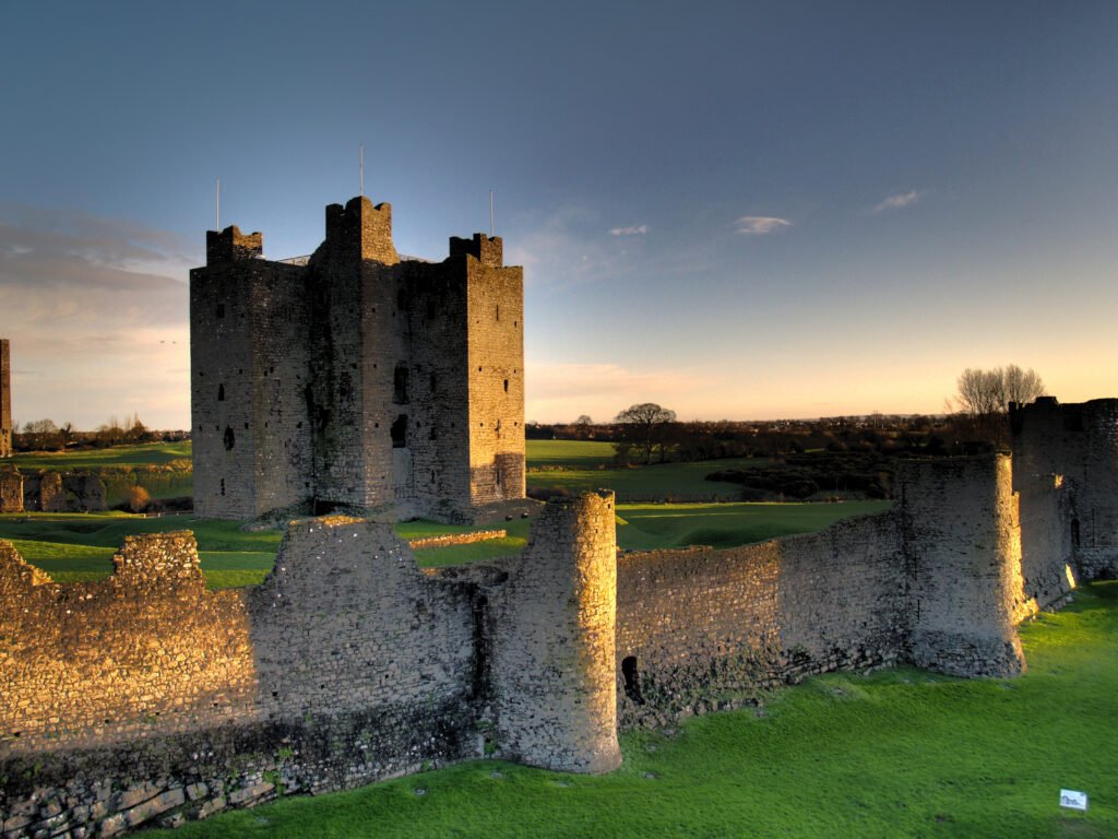
A castle of 30,000 square metres on the south bank of the Boyne, built over thirty years by Hugh de Lacy and his son Walter as the caput of the Lordship of Meath. Henry II granted de Lacy the land in 1172, and he threw up a huge ringwork defended by a double palisade and an external ditch on the hilltop; part of the timber gatehouse still lies beneath the present stone gate. The site was chosen for the raised ground above a fording point on the Boyne, navigable by boat about twenty-five miles from the Irish Sea.
Ansehen
Lesen und planen
In der Nähe, über Grenzen hinweg
Im Umkreis von 60 km um diesen Ort, in jedem Land.