Bernese Oberland & Mittelland Accessible walkingAlpine & high mountainLake & waterway
Interlaken
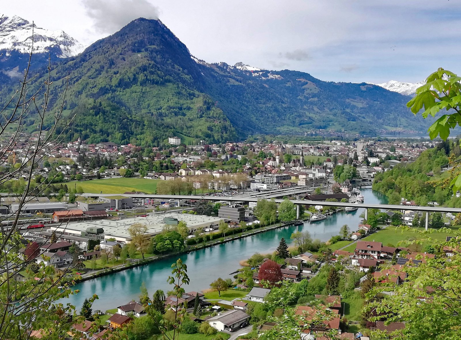
Between two lakes, on the Bödeli
Photograph by Rectilinium on Wikimedia Commons
About Interlaken
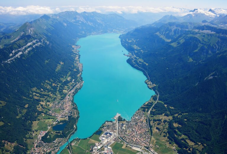
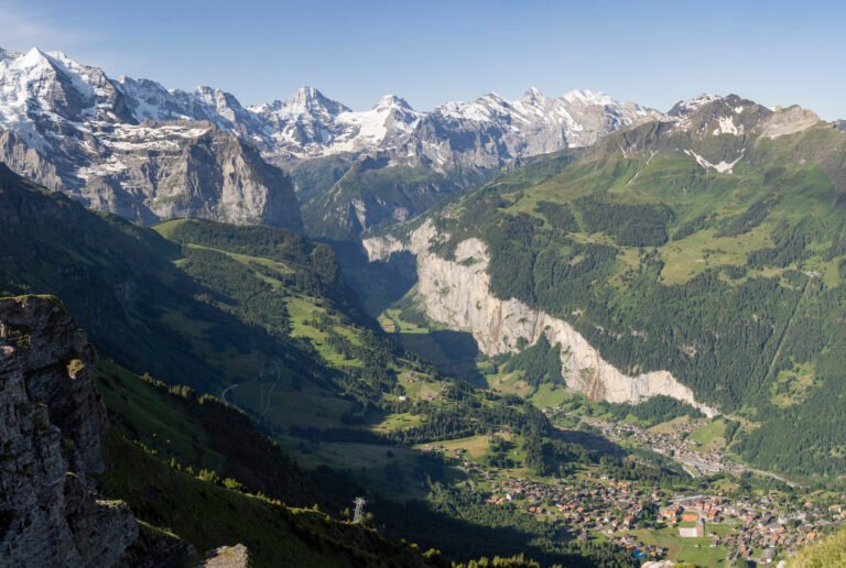
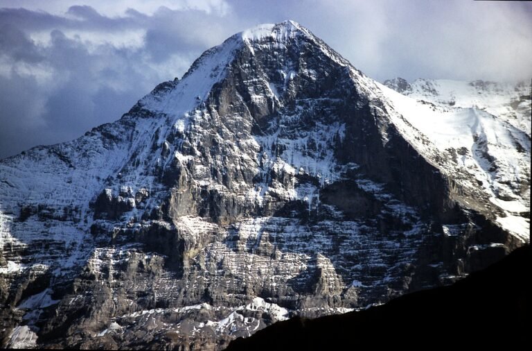
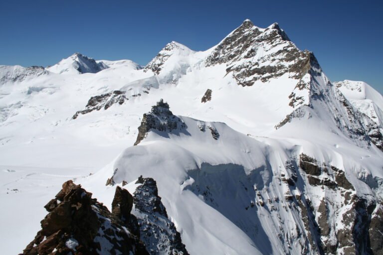
The name means between lakes, and that is exactly the situation: the town stands on flat alluvial ground called the Bödeli, with Brienz to the east and Thun to the west and the Aare running between them. Routes east and west follow the lakeshores, and a third runs south up the Lütschine into the high mountains, towards the Eiger, Mönch and Jungfrau, which makes this the transport gateway for the whole Bernese Oberland. It was called Aarmühle until 1891. An Augustinian convent stood here from about 1133 until 1528.
Watch
Read and plan
Nearby, across borders
Within 60 km as the crow flies, in any country.