Bernese Oberland & Mittelland Alpine & high mountainGlacier & iceHill walking
Grindelwald
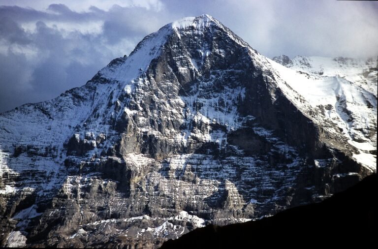
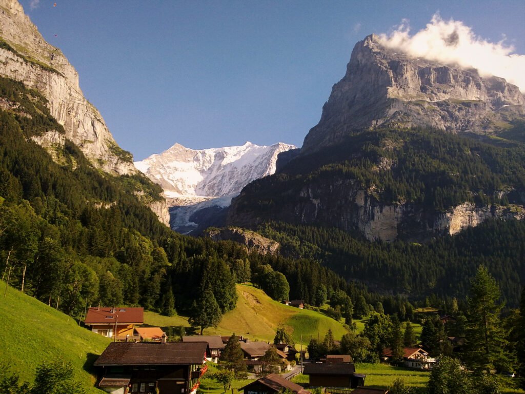
Under a wall from the Wetterhorn to the Eiger
Photograph by Cristo Vlahos on Wikimedia Commons
About Grindelwald
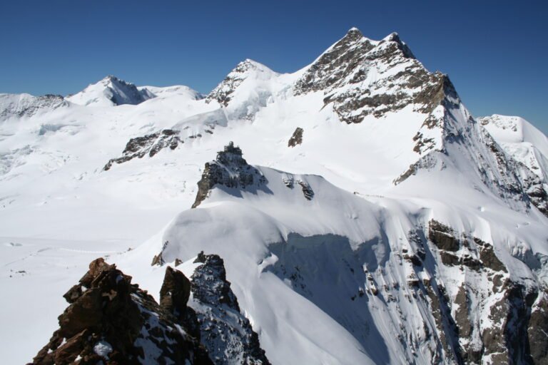
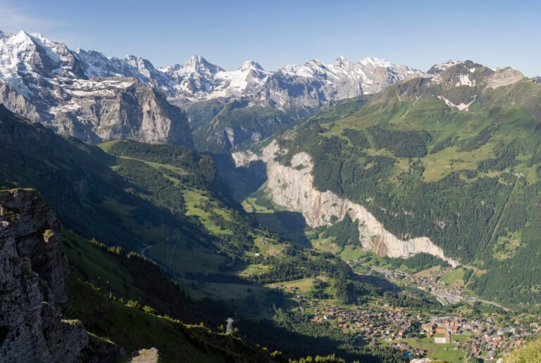
A village at 1,034 metres first mentioned in 1146, and an important destination since the golden age of alpinism in the nineteenth century. The Bernese Alps overlook it in a wall running from the Wetterhorn to the Eiger, forming a natural barrier at the head of the valley. With the neighbouring Lauterbrunnen valley it makes up the Jungfrau Region, between Interlaken and the main crest. The Bernese Oberland Railway connects it to Interlaken, and the Wengernalp Railway starts here for Kleine Scheidegg, where the Jungfrau Railway begins.
Watch
Read and plan
Nearby, across borders
Within 60 km as the crow flies, in any country.