Ásbyrgi
A horseshoe canyon called Sleipnir's footprint
Photo de rheins sur Wikimedia Commons
Pas encore disponible en français. Affiché en anglais.
À propos de Ásbyrgi
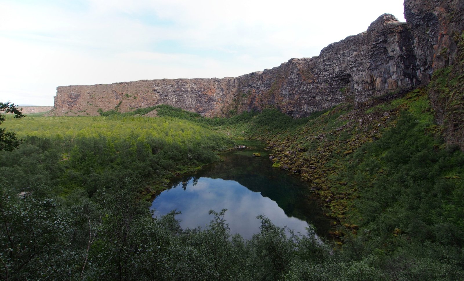
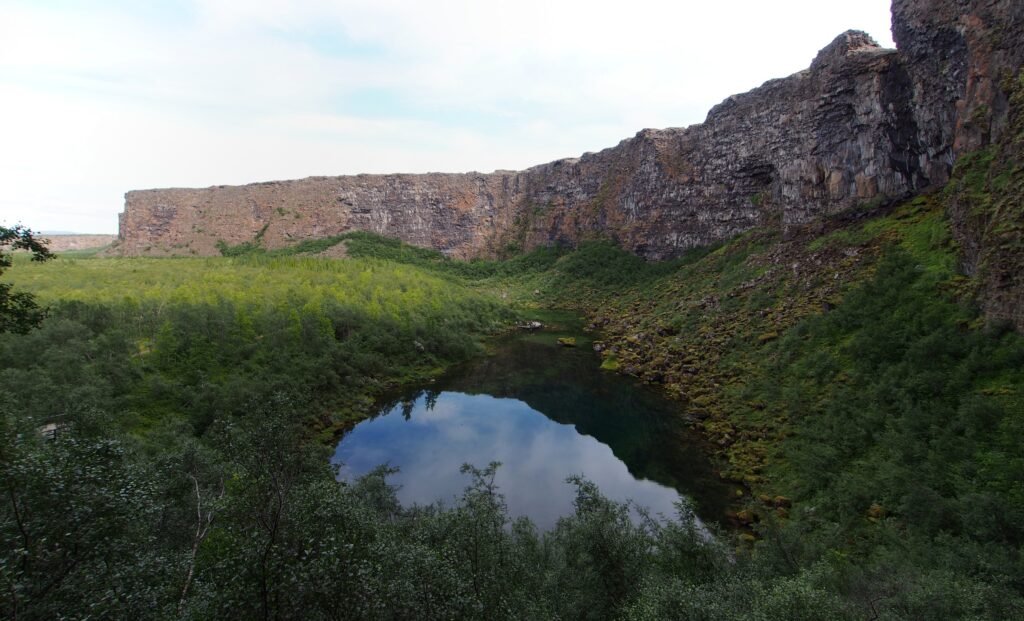
A horseshoe-shaped canyon about 3.5 kilometres long and over a kilometre wide, walled by cliffs up to a hundred metres high, with birch and willow woodland on the floor and the small lake Botnstjörn holding waterfowl. For more than half its length a rock formation twenty-five metres high called Eyjan, the Island, splits it down the middle. Catastrophic glacial floods from the Jökulsá á Fjöllum most likely cut it, first between eight and ten thousand years ago and again some 3,000 years ago; the river now runs about two kilometres east. Legend calls it Sleipnir’s footprint.
Regarder
Lire et planifier
À proximité, au-delà des frontières
À moins de 60 km de ce lieu, dans n'importe quel pays.