Ásbyrgi
A horseshoe canyon called Sleipnir's footprint
Foto door rheins op Wikimedia Commons
Nog niet beschikbaar in het Nederlands. Weergegeven in het Engels.
Over Ásbyrgi
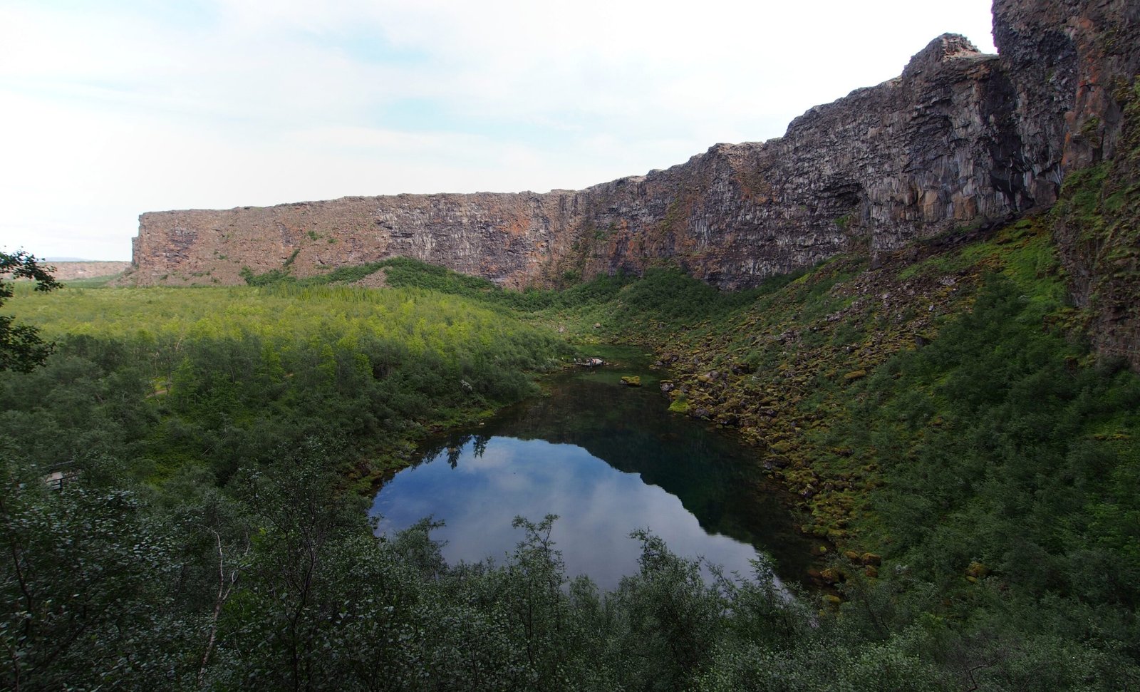
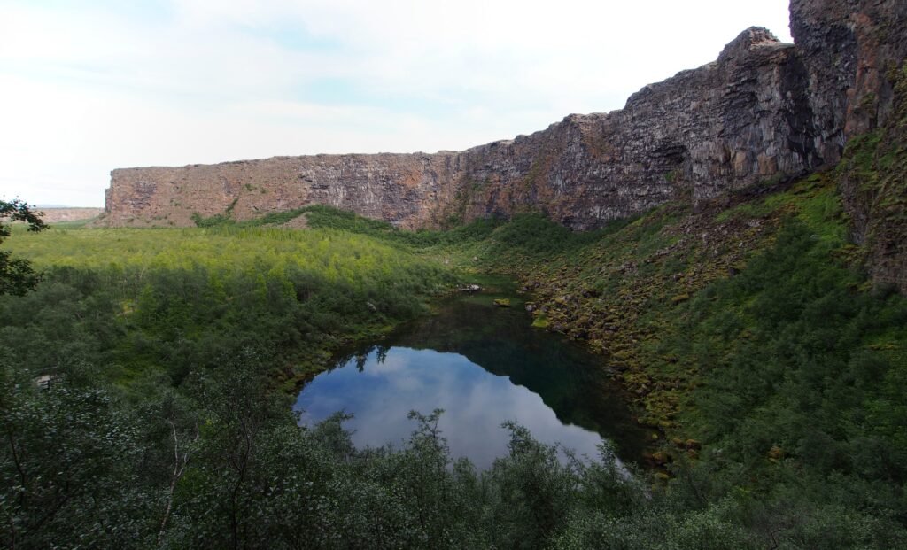
A horseshoe-shaped canyon about 3.5 kilometres long and over a kilometre wide, walled by cliffs up to a hundred metres high, with birch and willow woodland on the floor and the small lake Botnstjörn holding waterfowl. For more than half its length a rock formation twenty-five metres high called Eyjan, the Island, splits it down the middle. Catastrophic glacial floods from the Jökulsá á Fjöllum most likely cut it, first between eight and ten thousand years ago and again some 3,000 years ago; the river now runs about two kilometres east. Legend calls it Sleipnir’s footprint.
Kijken
Lezen en plannen
In de buurt, over de grens
Binnen 60 km van deze plek, in elk land.