Aller au contenu

Démo EntoHub en direct · 798 lieux dans 19 pays · Vos contenus pourraient être sur ce moteur

Conçu par EntoDigital

Islande

41 lieux dans 8 régions. Filtrez, gardez ce qui vous plaît et planifiez votre voyage.

41 lieux

Toutes saisons
Northeastern Region

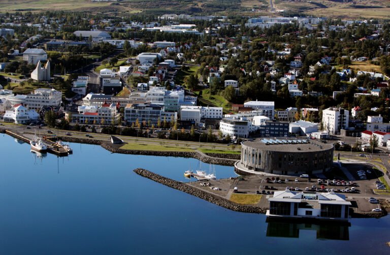
Akureyri

The capital of North Iceland

Facile Promenades accessibles VidéoArticleCarte En anglais
PrintempsÉtéAutomne
Western Region

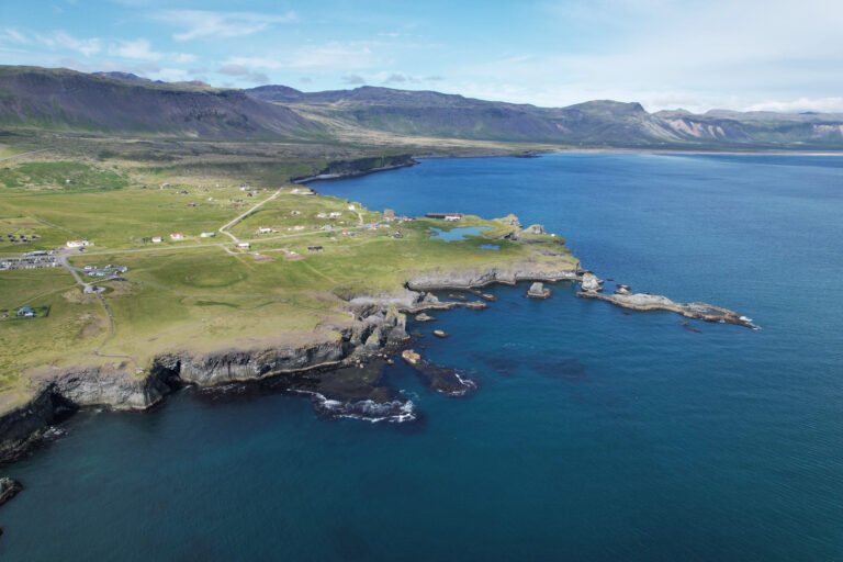
Arnarstapi

A saga coast, and a Danish prefect's house

Facile Coastal & cliff walking VidéoArticleCarte En anglais
PrintempsÉtéAutomne
Northeastern Region

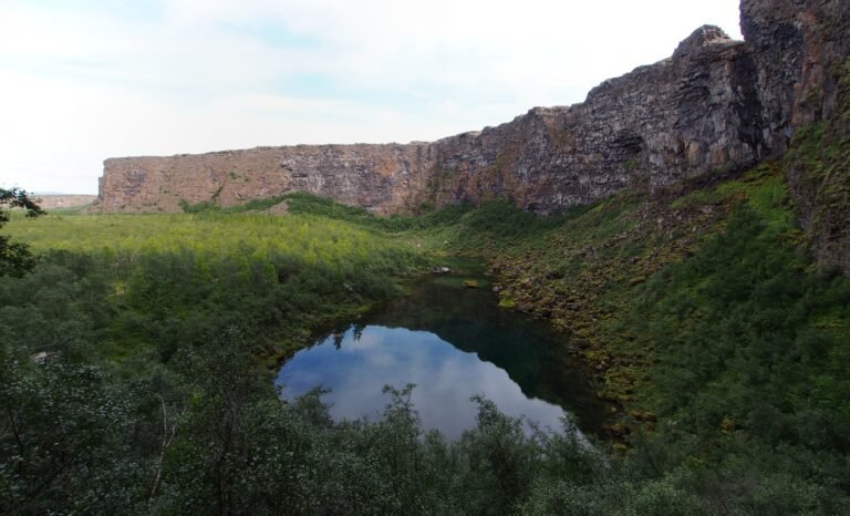
Ásbyrgi

A horseshoe canyon called Sleipnir's footprint

Facile Promenades accessibles VidéoArticleCarte En anglais
Toutes saisons
Southern Peninsula

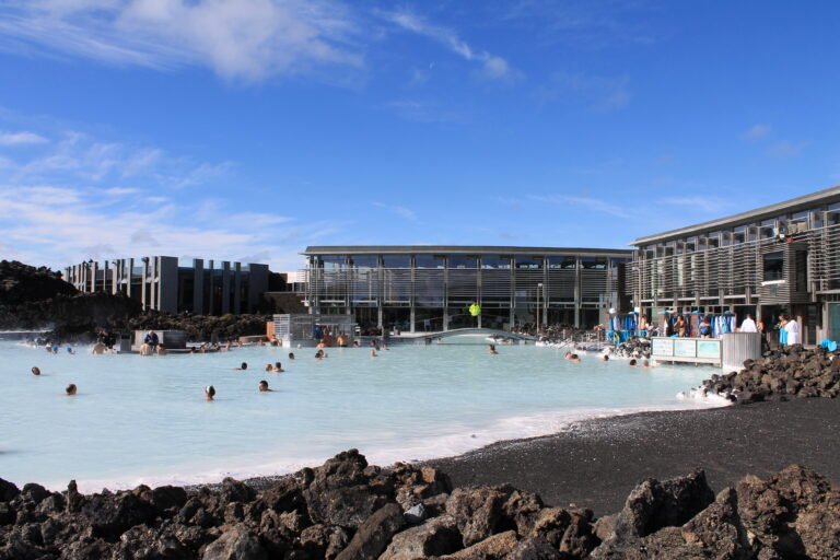
Blue Lagoon

A power station's outflow, at 37 to 39 degrees

Facile Promenades accessibles VidéoArticleCarte En anglais
ÉtéAutomne
Northeastern Region

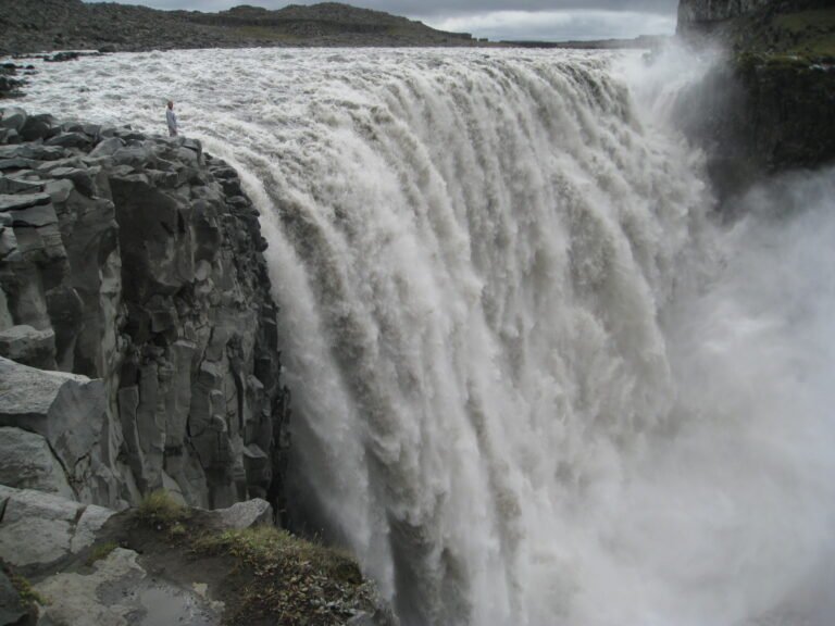
Dettifoss

193 cubic metres a second into a canyon

Moyen Gorge & canyon VidéoArticleCarte En anglais
PrintempsÉtéAutomne
Northeastern Region

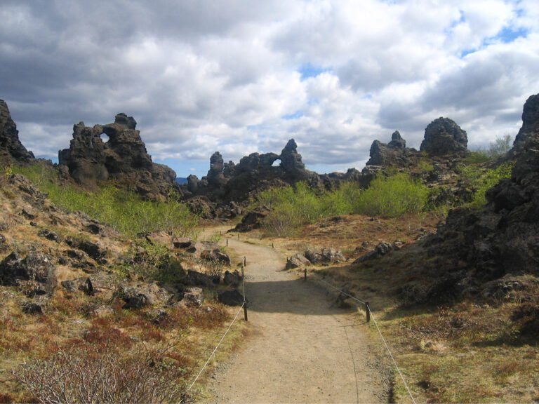
Dimmuborgir

Hollow lava pillars left standing

Facile Promenades accessibles VidéoArticleCarte En anglais
PrintempsÉtéAutomne
Western Region

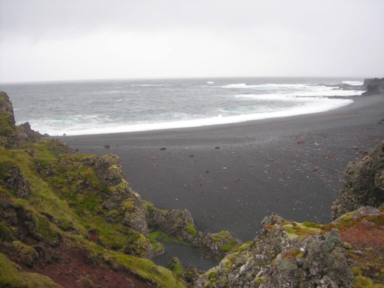
Djúpalónssandur

The pearls of Djúpalón, and a lost fishing station

Moyen Randonnées sur le littoral et dans les dunes VidéoArticleCarte En anglais
ÉtéAutomne
Westfjords

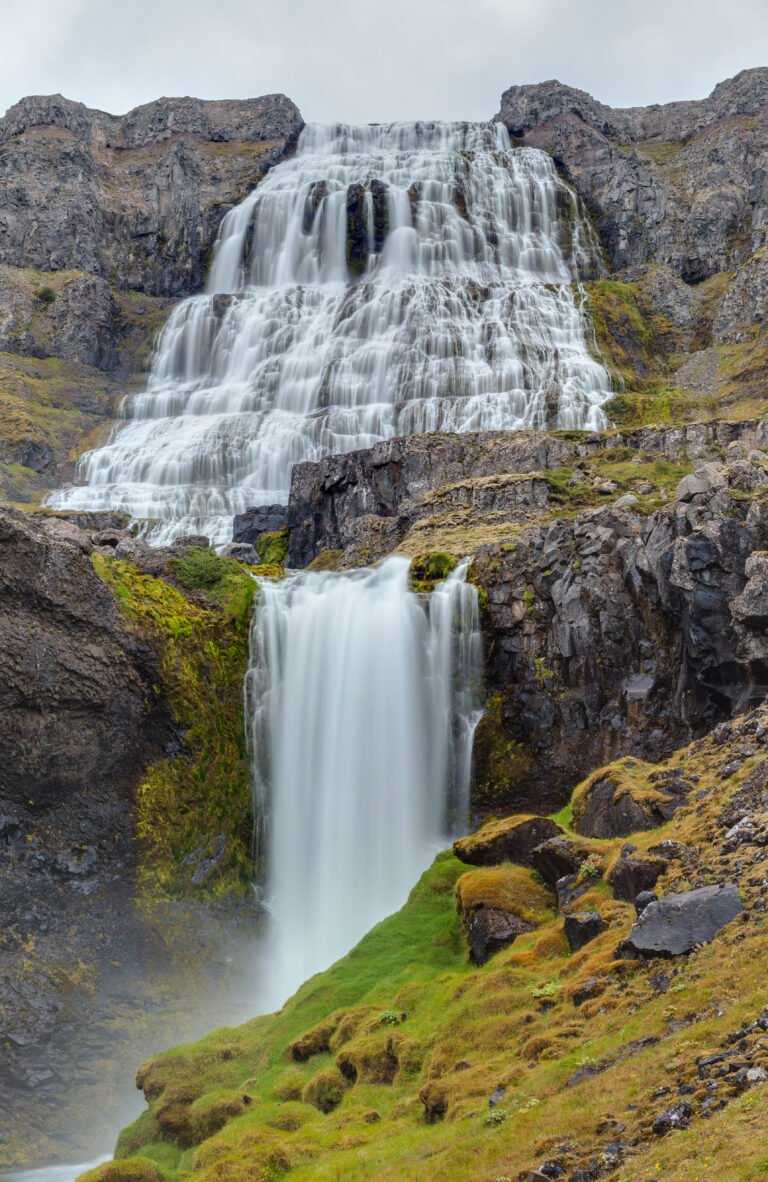
Dynjandi

A hundred metres, widening as it falls

Moyen Randonnée en montagne VidéoArticleCarte En anglais
PrintempsÉtéAutomne
Southern Region

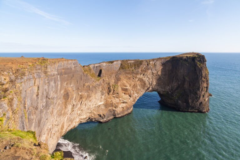
Dyrhólaey

A lava arch big enough to fly a plane through

Moyen Coastal & cliff walking VidéoArticleCarte En anglais
Toutes saisons
Eastern Region

Egilsstaðir

East Iceland's centre, founded in 1947

Facile Promenades accessibles VidéoArticleCarte En anglais
PrintempsÉtéAutomne
Southern Region

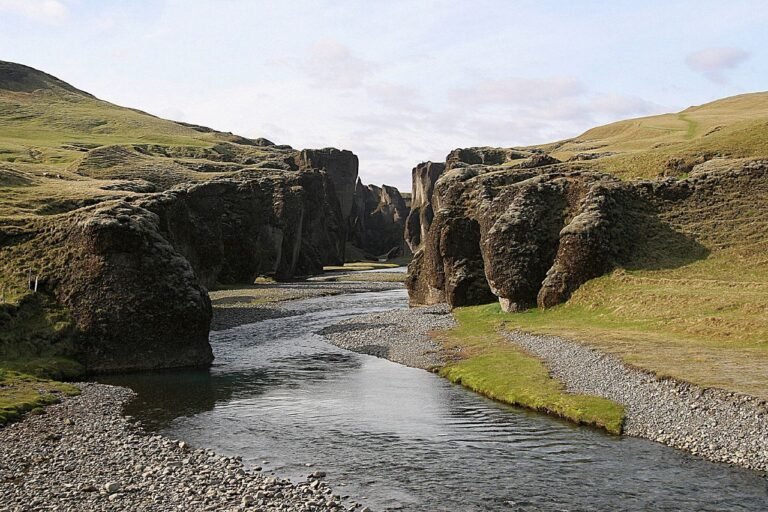
Fjaðrárgljúfur

Two million years of water cutting down

Moyen Gorge & canyon VidéoArticleCarte En anglais
Toutes saisons
Southern Region

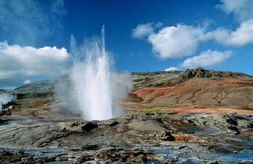
Geysir

The hole in the ground that named all the others

Facile Promenades accessibles VidéoArticleCarte En anglais
Toutes saisons
Northeastern Region

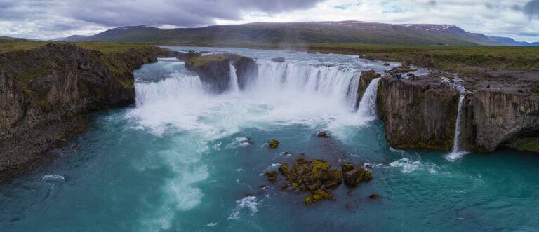
Goðafoss

The waterfall of the gods, or of the chieftain

Facile Promenades accessibles VidéoArticleCarte En anglais
Toutes saisons
Southern Region

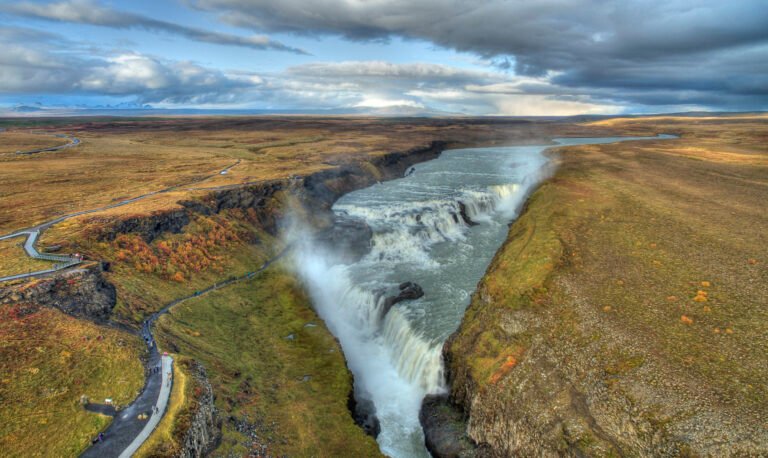
Gullfoss

Two drops into a crevice thirty-two metres deep

Facile Promenades accessibles VidéoArticleCarte En anglais
Toutes saisons
Capital Region

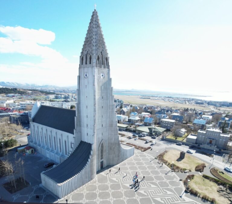
Hallgrímskirkja

A church shaped like columnar basalt

Facile Promenades accessibles VidéoArticleCarte En anglais
PrintempsÉtéAutomne
Southern Region

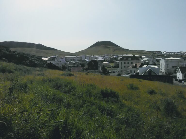
Heimaey

Where sea water was pumped onto the lava

Moyen Coastal & cliff walking VidéoArticleCarte En anglais
PrintempsÉtéAutomne
Eastern Region

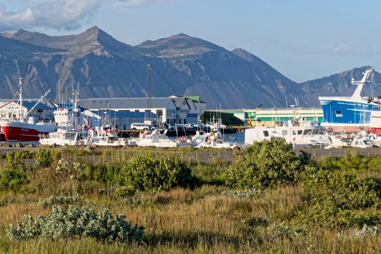
Höfn

A harbour town under Europe's largest ice cap

Facile Randonnées sur le littoral et dans les dunes VidéoArticleCarte En anglais
PrintempsÉtéAutomne
Northeastern Region

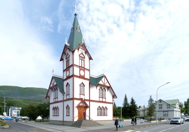
Húsavík

The first place in Iceland a Norseman settled

Facile Art et musées VidéoArticleCarte En anglais
PrintempsÉtéAutomne
Northwestern Region

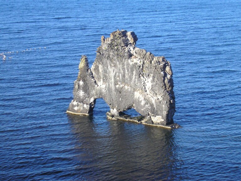
Hvítserkur

A basalt stack like a drinking dragon

Facile Coastal & cliff walking VidéoArticleCarte En anglais
PrintempsÉtéAutomne
Westfjords

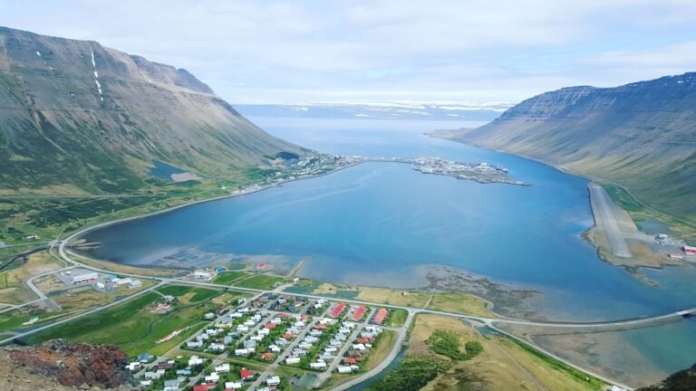
Ísafjörður

The oldest timber-frame houses in Iceland

Facile Art et musées VidéoArticleCarte En anglais
Toutes saisons
Eastern Region

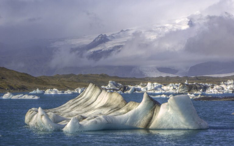
Jökulsárlón

A lagoon that did not exist a century ago

Facile Promenades accessibles VidéoArticleCarte En anglais
PrintempsÉtéAutomne
Southern Region

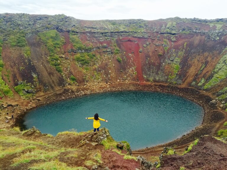
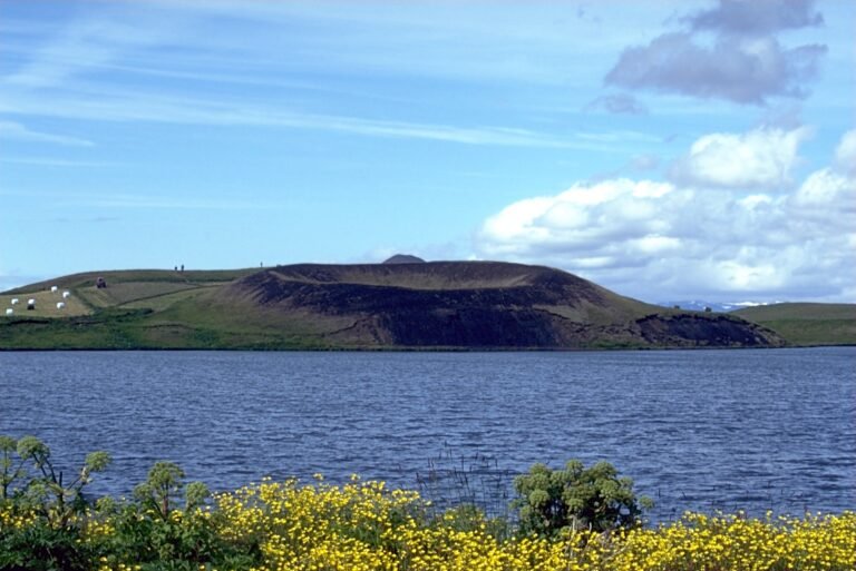
Kerið

A maar crater with an aquamarine lake

Facile Promenades accessibles VidéoArticleCarte En anglais
ÉtéAutomne
Western Region

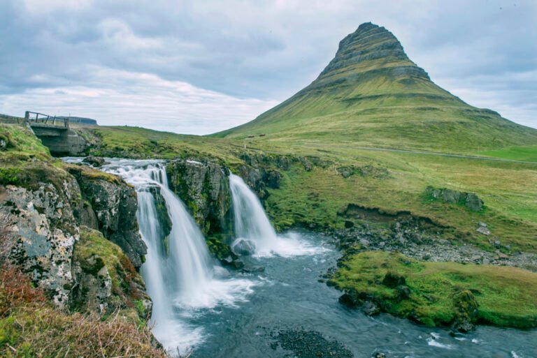
Kirkjufell

Iceland's most photographed mountain

Difficile Aurora & night sky VidéoArticleCarte En anglais
ÉtéAutomne
Southern Region

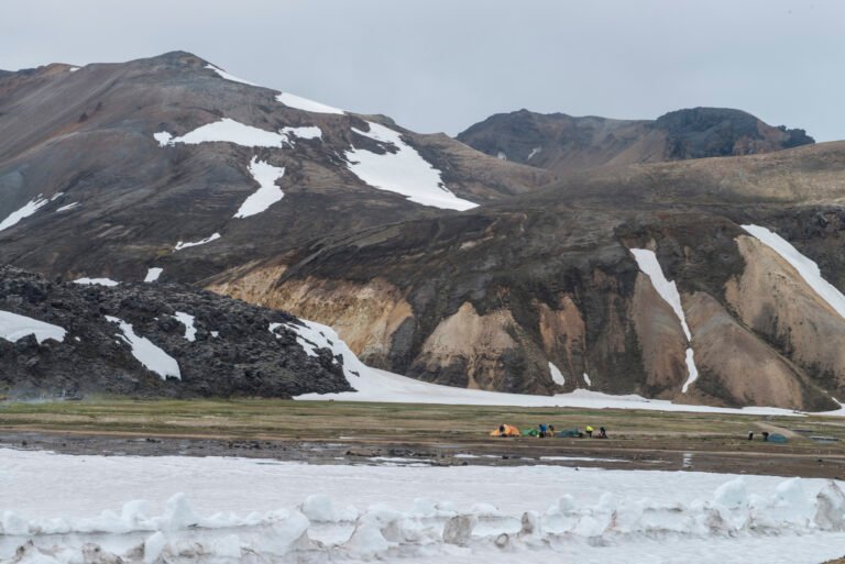
Landmannalaugar

Hot springs at the head of the Laugavegur

Difficile Alpine & high mountain VidéoArticleCarte En anglais
PrintempsÉté
Westfjords

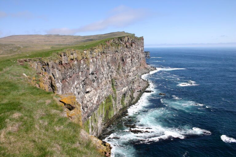
Látrabjarg

Europe's largest bird cliff

Moyen Coastal & cliff walking VidéoArticleCarte En anglais
Toutes saisons
Northeastern Region

Mývatn

The lake of midges, and it means it

Facile Lake & waterway VidéoArticleCarte En anglais
Toutes saisons
Capital Region

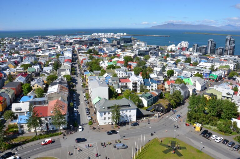
Reykjavík

The northernmost capital of a sovereign state

Facile Promenades accessibles VidéoArticleCarte En anglais
Toutes saisons
Southern Region

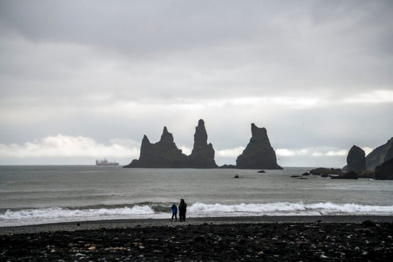
Reynisfjara

Black sand, basalt columns, and sneaker waves

Facile Randonnées sur le littoral et dans les dunes VidéoArticleCarte En anglais
Toutes saisons
Southern Region

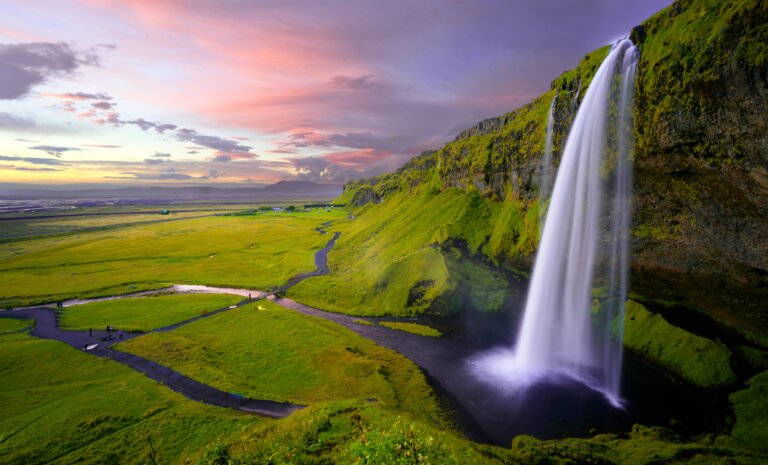
Seljalandsfoss

Sixty metres, and a path running behind it

Facile Promenades accessibles VidéoArticleCarte En anglais
PrintempsÉtéAutomne
Eastern Region

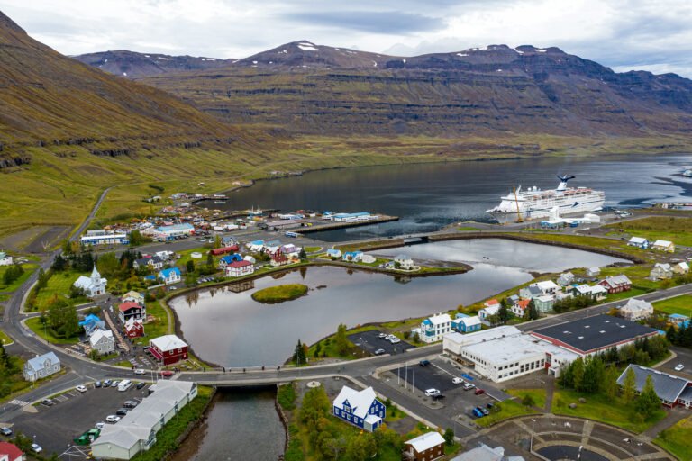
Seyðisfjörður

The ferry port for mainland Europe

Facile Art et musées VidéoArticleCarte En anglais
Toutes saisons
Northeastern Region

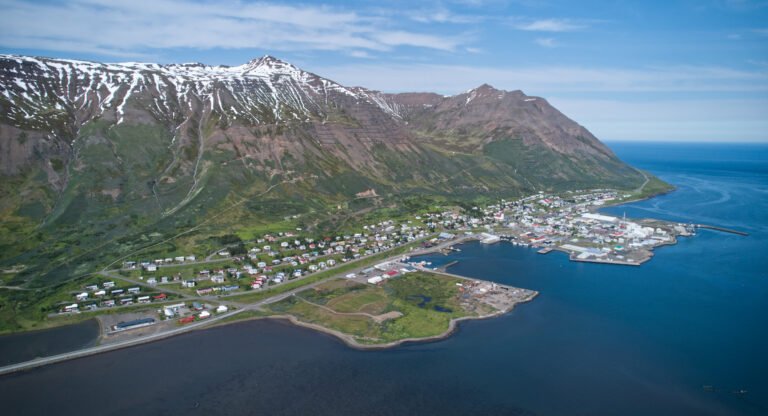
Siglufjörður

A town that herring built and herring left

Facile Art et musées VidéoArticleCarte En anglais
PrintempsÉtéAutomne
Eastern Region

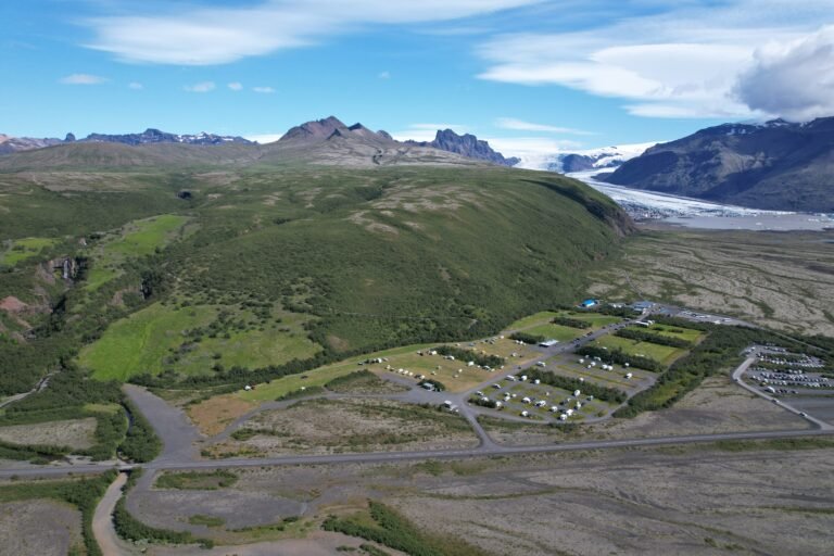
Skaftafell

Fire above, ice below, sand between

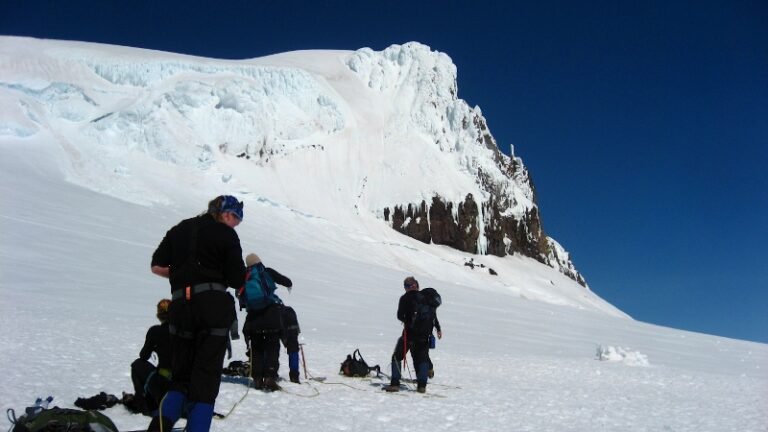
Moyen Glacier & ice VidéoArticleCarte En anglais
Toutes saisons
Southern Region

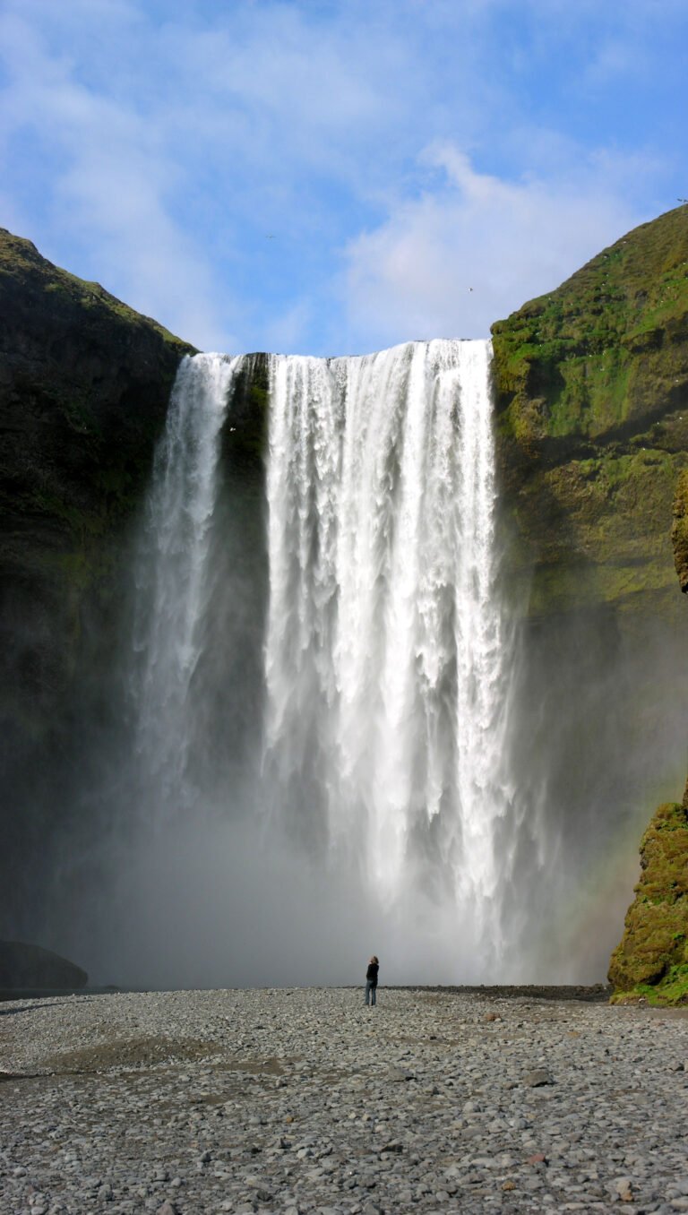
Skógafoss

A waterfall over the old coastline

Facile Promenades accessibles VidéoArticleCarte En anglais
ÉtéAutomne
Western Region

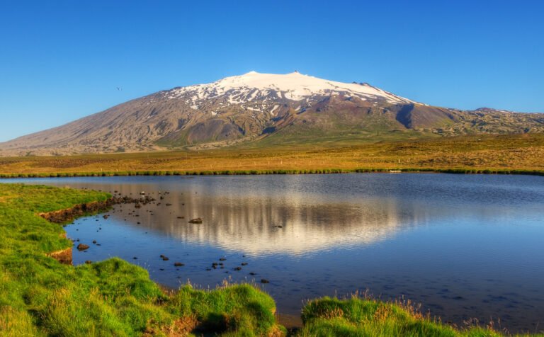
Snæfellsjökull

Jules Verne's way to the centre of the Earth

Difficile Alpine & high mountain VidéoArticleCarte En anglais
Toutes saisons
Southern Region

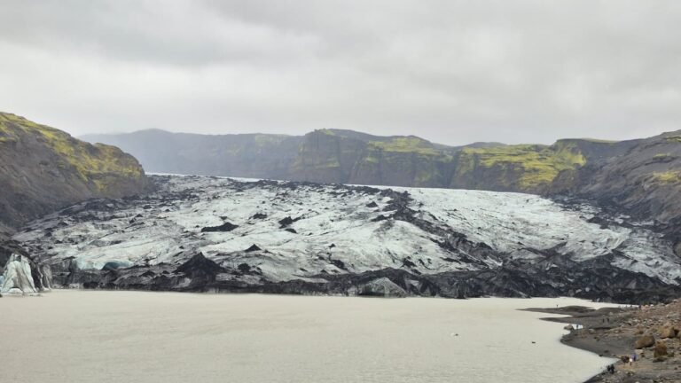
Sólheimajökull

An outlet glacier retreating sixty metres a year

Moyen Glacier & ice VidéoArticleCarte En anglais
Toutes saisons
Eastern Region

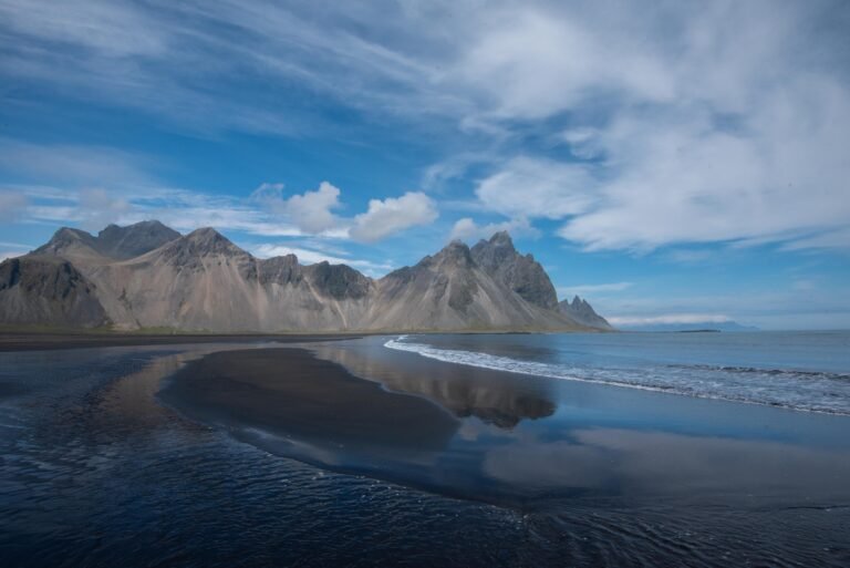
Stokksnes

Vestrahorn, black sand and a radar station

Facile Alpine & high mountain VidéoArticleCarte En anglais
PrintempsÉtéAutomne
Eastern Region

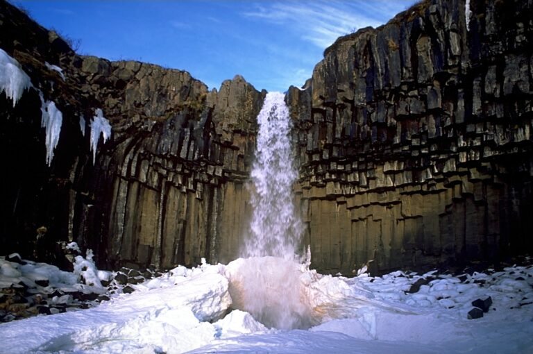
Svartifoss

Hexagonal basalt that inspired a cathedral

Moyen Randonnée en montagne VidéoArticleCarte En anglais
Toutes saisons
Southern Region

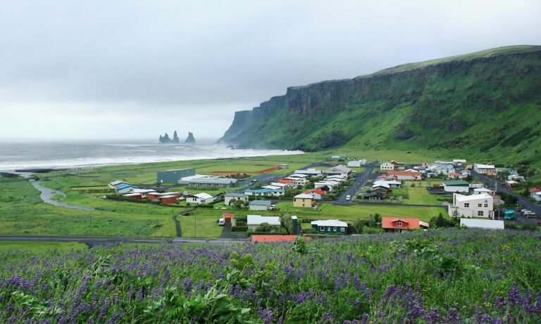
Vík í Mýrdal

Iceland's southernmost village

Facile Promenades accessibles VidéoArticleCarte En anglais
Toutes saisons
Southern Region

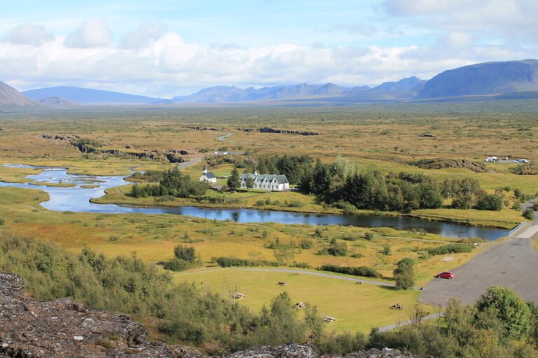
Þingvellir

Where the Alþing met from 930 to 1798

Facile Lake & waterway VidéoArticleCarte En anglais
ÉtéAutomne
Southern Region

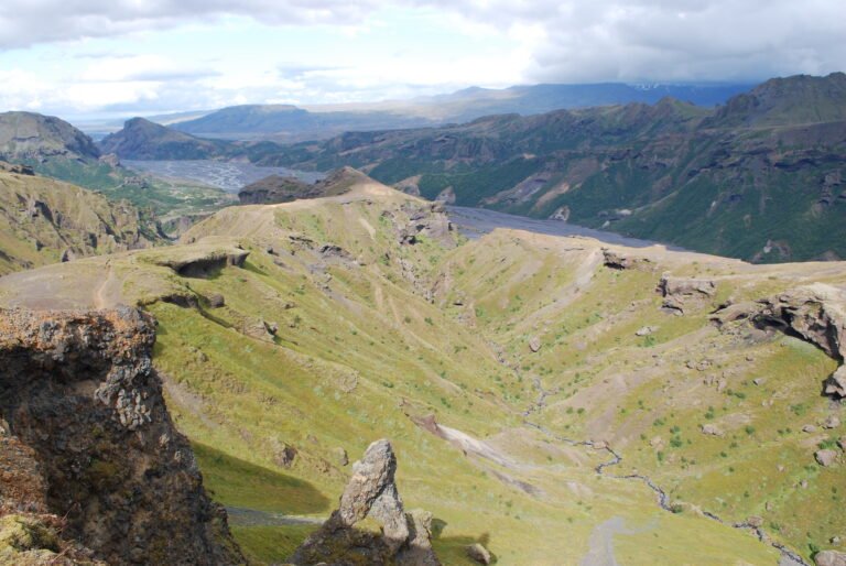
Þórsmörk

Warm ground, closed in between glaciers

Difficile Forêts et domaines VidéoArticleCarte En anglais