Seyðisfjörður
The ferry port for mainland Europe
Photo de Kasa Fue sur Wikimedia Commons
Pas encore disponible en français. Affiché en anglais.
À propos de Seyðisfjörður
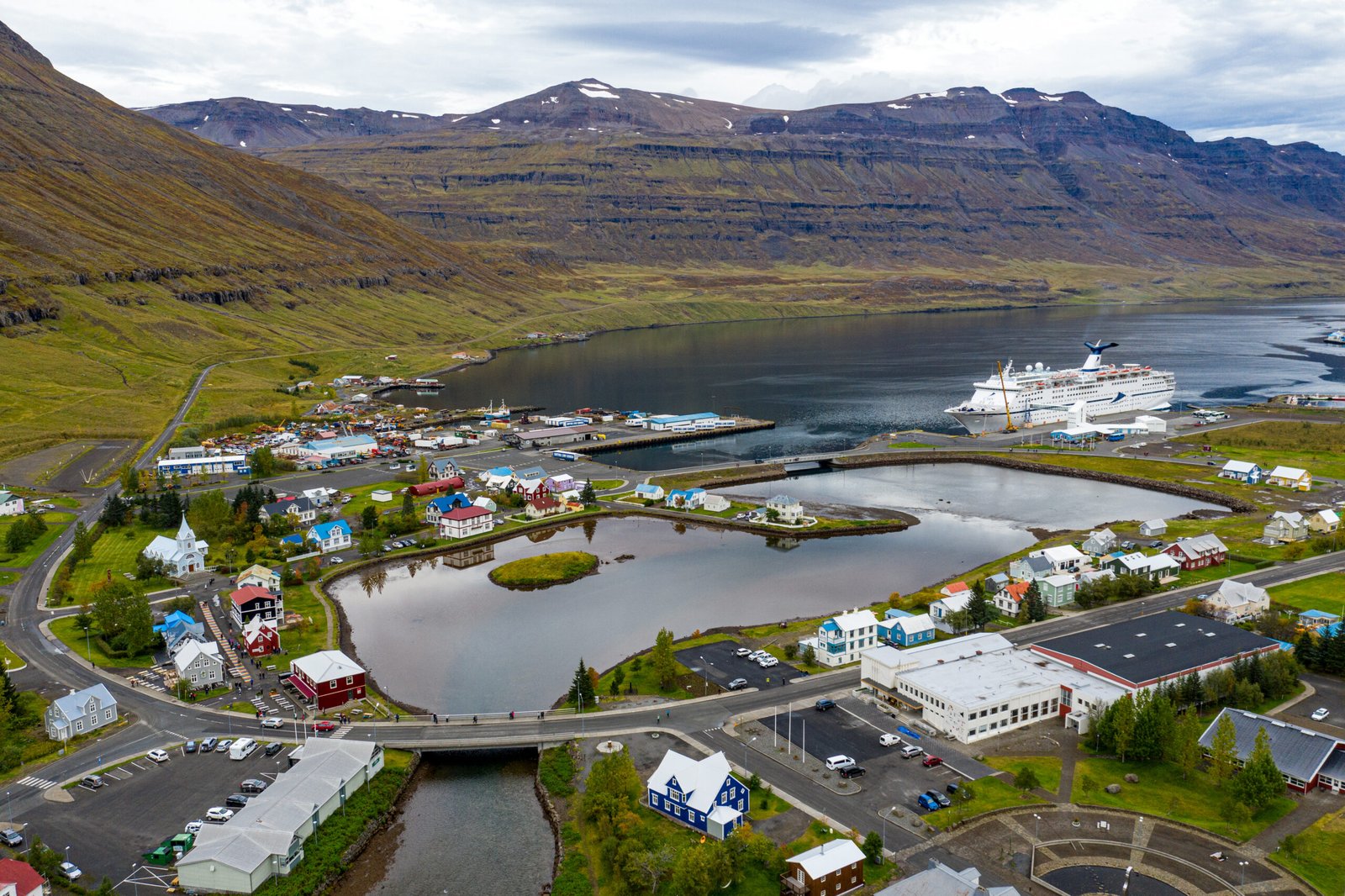
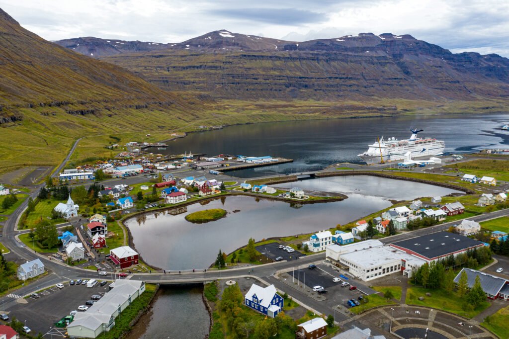
A town at the innermost point of its fjord, ringed by mountains (Bjólfur at 1,085 metres to the west, Strandartindur at 1,010 to the east) and reached over the Fjarðarheiði pass at 600 metres, twenty-seven kilometres from the Ring Road at Egilsstaðir. It is the Icelandic port for the Norröna ferry, the direct sea link to mainland Europe by way of the Faroe Islands and Denmark. Artists have made it their own, with the LungA festival and school and a run of galleries. A burned stave church at Þórunnarstaðir, excavated in 1998–99, carbon-dates to the eleventh century.
Regarder
Lire et planifier
À proximité, au-delà des frontières
À moins de 60 km de ce lieu, dans n'importe quel pays.