Zell am See
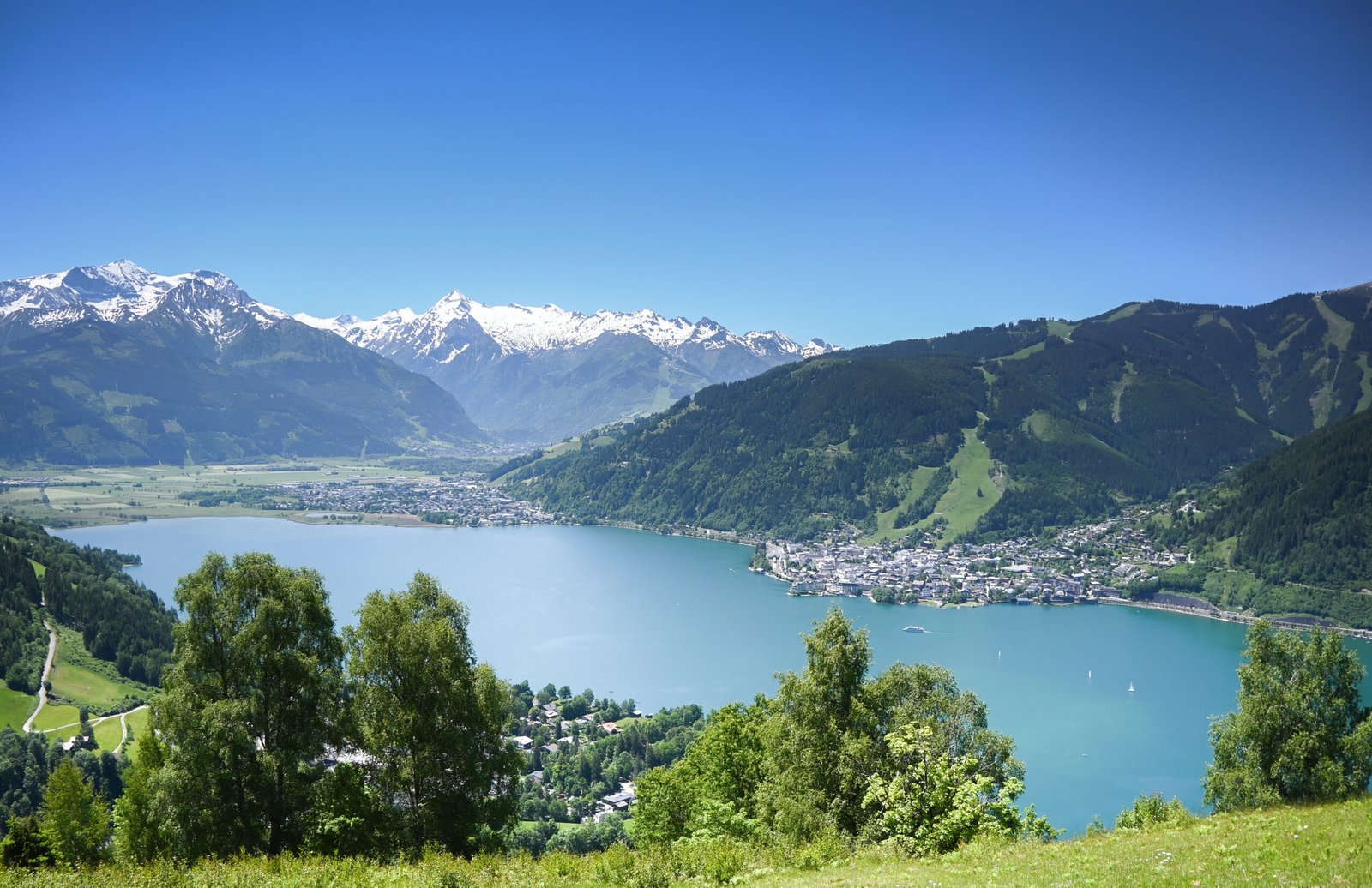
A lake 68 metres deep in the Kitzbühel Alps
Foto von Bestzeller auf Wikimedia Commons
Noch nicht auf Deutsch verfügbar. Angezeigt wird die Fassung auf Englisch.
Über Zell am See
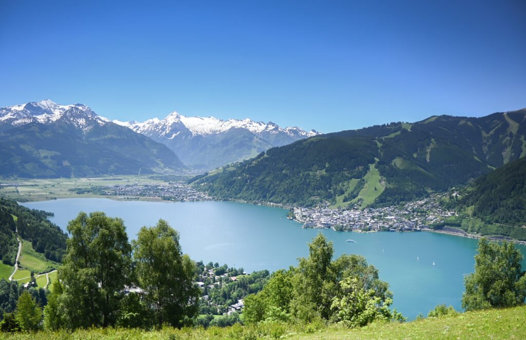
A town on the western shore of a lake sixty-eight metres deep, in a valley of the Kitzbühel Alps that links the Saalfelden Basin in the north with the Salzach in the south. It lies about eighty kilometres south of Salzburg, a hundred east of Innsbruck, and thirty north of the Grossglockner. European aristocracy favoured it as a summer and winter resort from the nineteenth century, and it is now among the more important sports resorts in Austria as well as a significant transport hub for the region.
Ansehen
Lesen und planen
In der Nähe, über Grenzen hinweg
Im Umkreis von 60 km um diesen Ort, in jedem Land.
Ruhiger in der Nähe
Weitere Orte anderer Art im Umkreis von 60 km.