Grossglockner
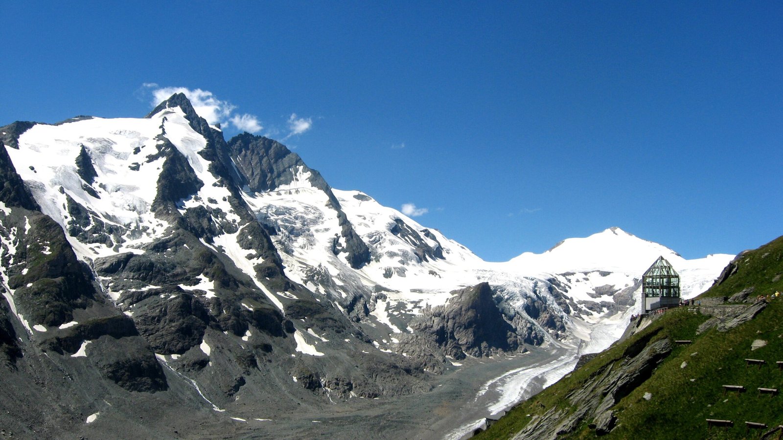
Austria's highest, at 3,798 metres
Foto von Michieliosios auf Wikimedia Commons
Noch nicht auf Deutsch verfügbar. Angezeigt wird die Fassung auf Englisch.
Über Grossglockner
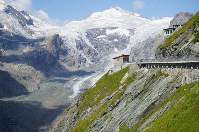
At 3,798 metres the highest mountain in Austria and the highest in the Alps east of the Brenner Pass, standing on the main ridge of the Central Eastern Alps. The Pasterze, the country’s most extensive glacier, lies on its eastern slope. What looks like a single pyramid is in fact two pinnacles, the Grossglockner and the Kleinglockner at 3,770 metres, divided by the Glocknerscharte col. The name Glocknerer first appears on a map of 1561 by the Viennese cartographer Wolfgang Lazius; the prefix Gross- is not recorded before the first expedition in 1799.
Ansehen
Lesen und planen
In der Nähe, über Grenzen hinweg
Im Umkreis von 60 km um diesen Ort, in jedem Land.