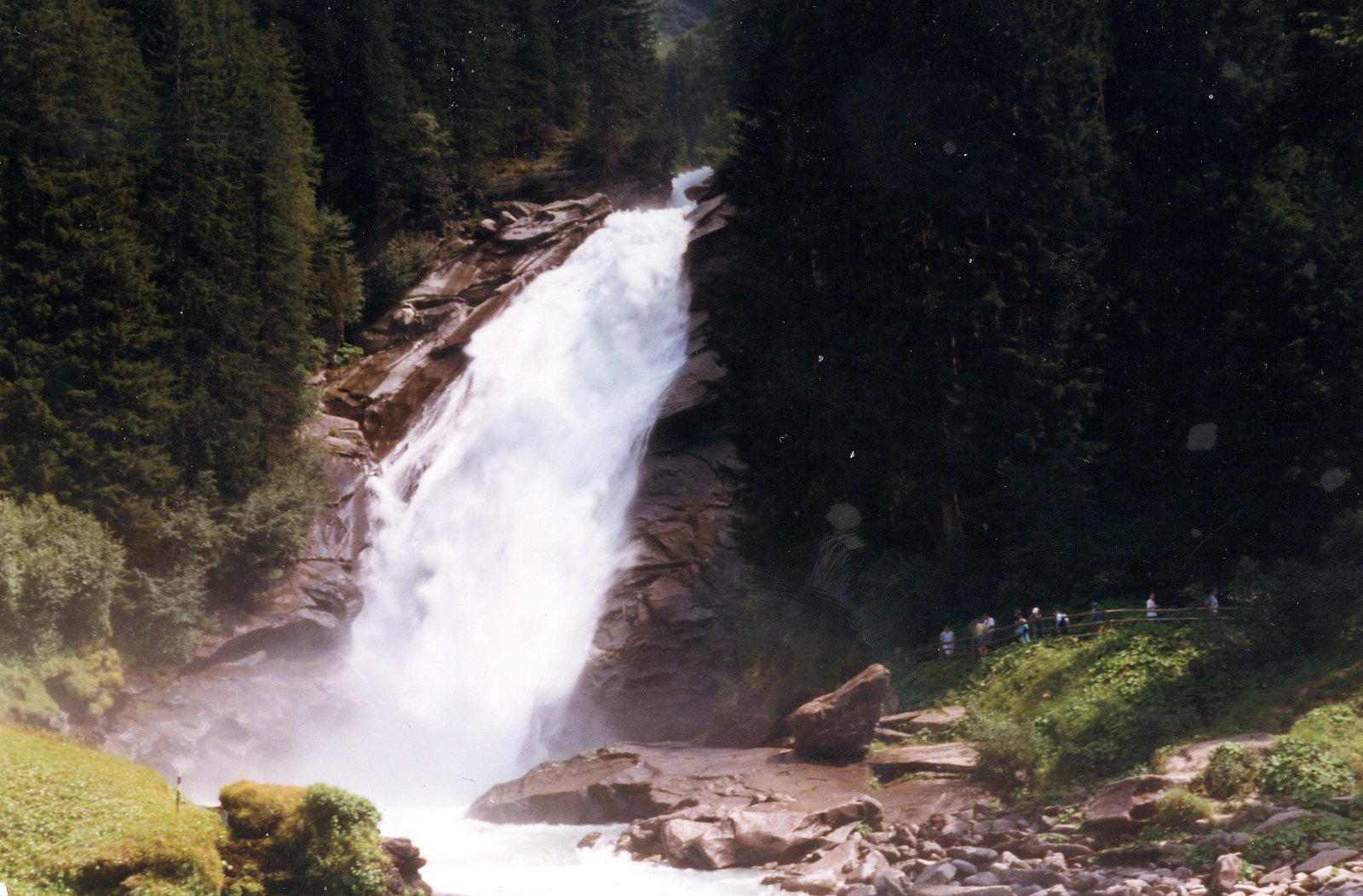
Krimml Waterfalls
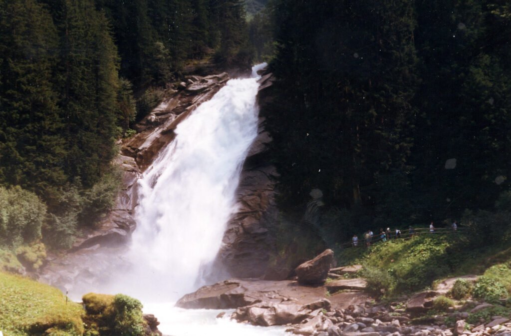
380 metres, in three stages
Foto von Wikimedia Commons contributor auf Wikimedia Commons
Noch nicht auf Deutsch verfügbar. Angezeigt wird die Fassung auf Englisch.
Über Krimml Waterfalls
At 380 metres these are the highest waterfall in Austria, falling in three stages on the Krimmler Ache, 140 metres at the top, a hundred in the middle, and 140 again at the bottom, with the highest point 1,470 metres above sea level. The stream is glacial and its flow swings hard with the season: 5.6 cubic metres a second in June and July against 0.14 in February, with a measured peak of 166.7 on 25 August 1987. Below the falls the water joins the Salzach, then the Inn, then the Danube and the Black Sea.
Ansehen
Lesen und planen
In der Nähe, über Grenzen hinweg
Im Umkreis von 60 km um diesen Ort, in jedem Land.
Ruhiger in der Nähe
Weitere Orte anderer Art im Umkreis von 60 km.