Salzburg Alpine & high mountainFietsrouteBergwandelen
Zell am See
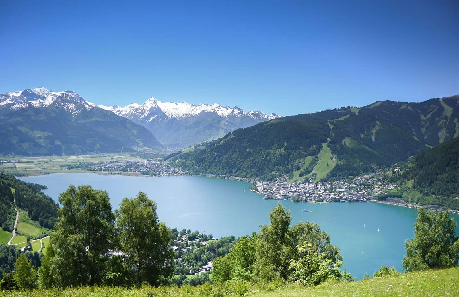
A lake 68 metres deep in the Kitzbühel Alps
Foto door Bestzeller op Wikimedia Commons
Nog niet beschikbaar in het Nederlands. Weergegeven in het Engels.
Over Zell am See
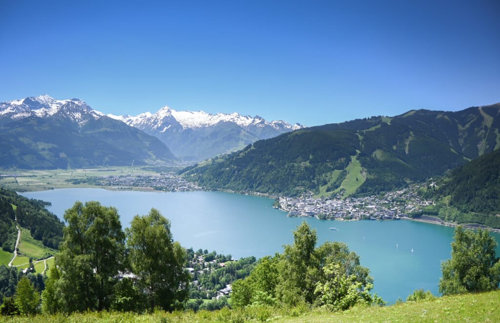
A town on the western shore of a lake sixty-eight metres deep, in a valley of the Kitzbühel Alps that links the Saalfelden Basin in the north with the Salzach in the south. It lies about eighty kilometres south of Salzburg, a hundred east of Innsbruck, and thirty north of the Grossglockner. European aristocracy favoured it as a summer and winter resort from the nineteenth century, and it is now among the more important sports resorts in Austria as well as a significant transport hub for the region.
Kijken
Lezen en plannen
In de buurt, over de grens
Binnen 60 km van deze plek, in elk land.
Rustiger in de buurt
Meer plekken van een ander soort binnen 60 km.