Vík í Mýrdal
Iceland's southernmost village
Foto von Andrea Schaffer auf Wikimedia Commons
Noch nicht auf Deutsch verfügbar. Angezeigt wird die Fassung auf Englisch.
Über Vík í Mýrdal
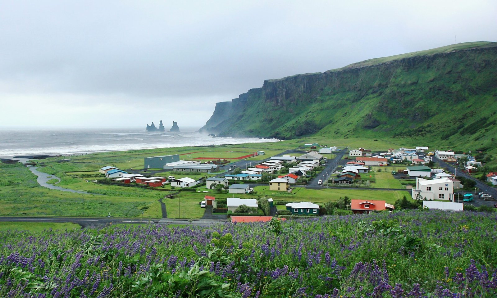
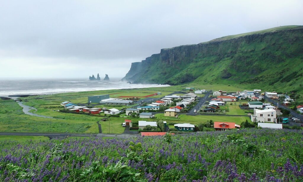
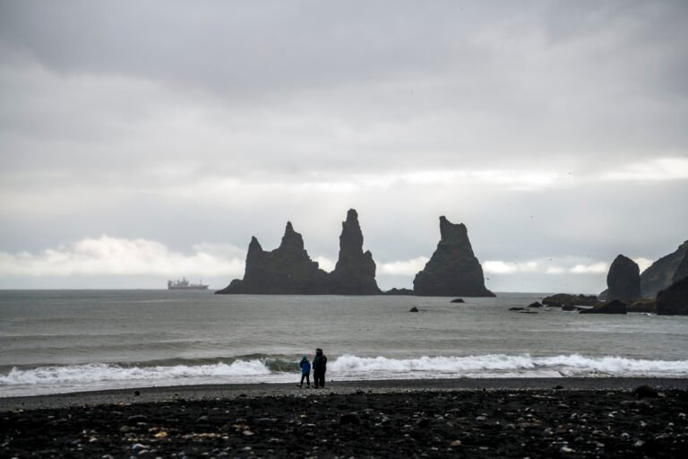
The southernmost village in Iceland, 750 people in the wider district, and the only settlement of any size for some seventy kilometres in either direction, which makes it the service centre for the whole coastal strip between Skógar and the Mýrdalssandur outwash plain. Islands Magazine counted its black basalt beach among the ten most beautiful on Earth in 1991; it is also one of the wettest places in the country. Puffins burrow in the shallow soil of the cliffs west of the beach. Folklore makes the offshore stacks trolls caught by the dawn while dragging their boats to sea.
Ansehen
Lesen und planen
In der Nähe, über Grenzen hinweg
Im Umkreis von 60 km um diesen Ort, in jedem Land.
Ruhiger in der Nähe
Weitere Orte anderer Art im Umkreis von 60 km.