Vík í Mýrdal
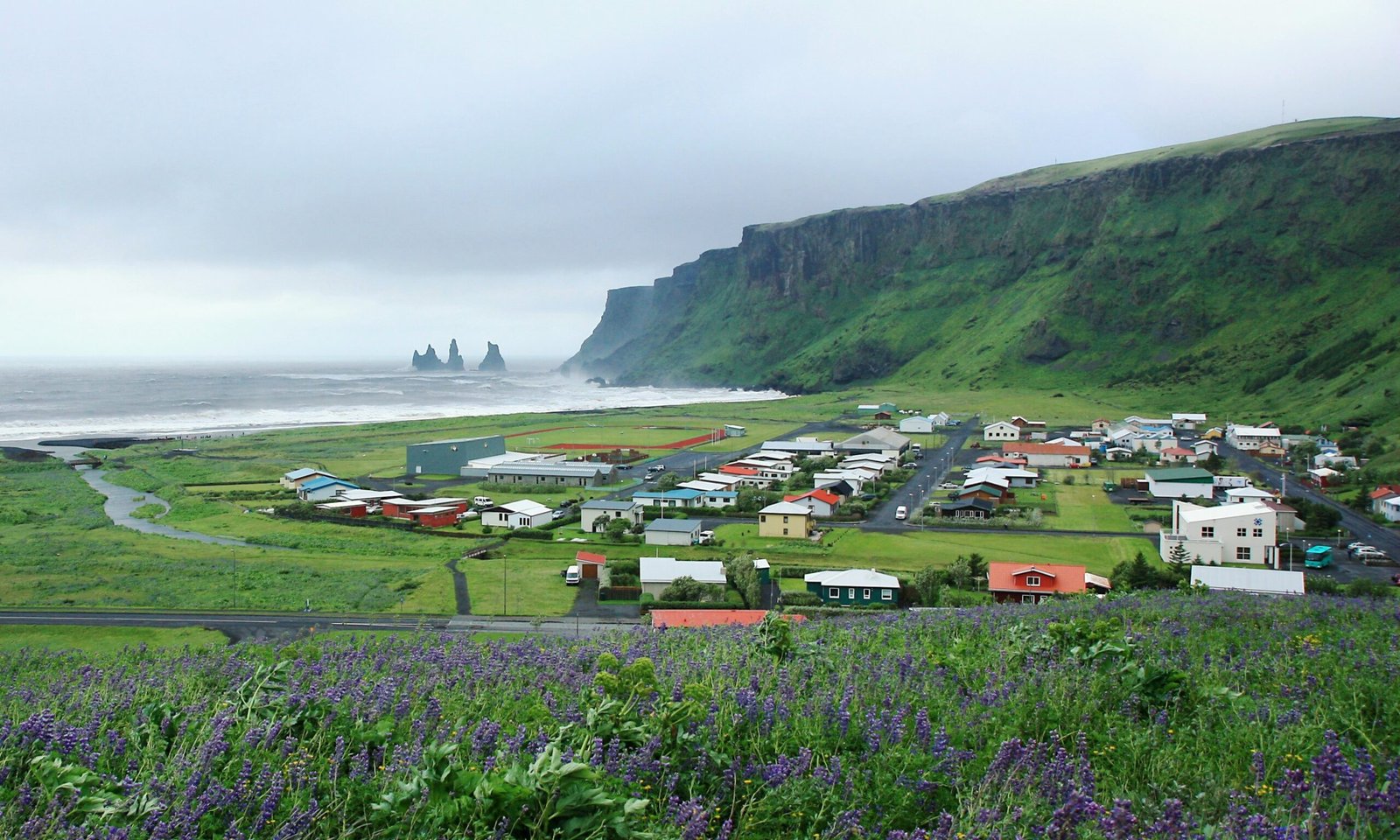
Iceland's southernmost village
Foto door Andrea Schaffer op Wikimedia Commons
Nog niet beschikbaar in het Nederlands. Weergegeven in het Engels.
Over Vík í Mýrdal
The southernmost village in Iceland, 750 people in the wider district, and the only settlement of any size for some seventy kilometres in either direction, which makes it the service centre for the whole coastal strip between Skógar and the Mýrdalssandur outwash plain. Islands Magazine counted its black basalt beach among the ten most beautiful on Earth in 1991; it is also one of the wettest places in the country. Puffins burrow in the shallow soil of the cliffs west of the beach. Folklore makes the offshore stacks trolls caught by the dawn while dragging their boats to sea.
Kijken
Lezen en plannen
In de buurt, over de grens
Binnen 60 km van deze plek, in elk land.
Rustiger in de buurt
Meer plekken van een ander soort binnen 60 km.