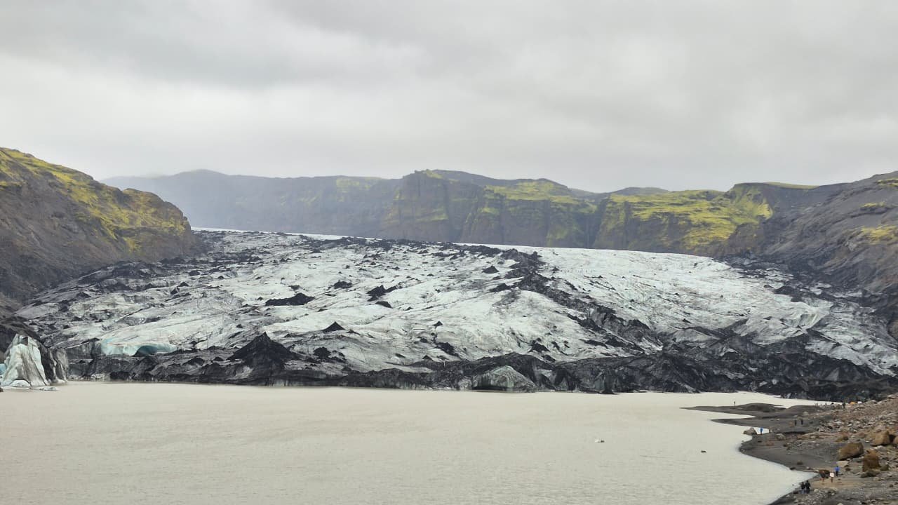
Sólheimajökull
An outlet glacier retreating sixty metres a year
Foto von Yuri Ikeda auf Wikimedia Commons
Noch nicht auf Deutsch verfügbar. Angezeigt wird die Fassung auf Englisch.
Über Sólheimajökull
An outlet glacier of the Mýrdalsjökull ice cap, which itself sits on top of the Katla caldera, running down between Katla and Eyjafjallajökull near Vík. Its accessibility is why so many people walk on it, and its retreat is why it is worth seeing now: the ice is melting at around sixty metres a year in warmer annual temperatures, and it is possible that many Icelandic glaciers will be gone within the next century. Glacial lake outburst floods occasionally take this route to the sea. In summer 2026 visitors were warned of unstable conditions on both the ice and the access paths.
Ansehen
Lesen und planen
In der Nähe, über Grenzen hinweg
Im Umkreis von 60 km um diesen Ort, in jedem Land.