Bernese Oberland & Mittelland Hill walkingLake & waterwayScenic route
Lake Brienz
Fourteen kilometres, 260 metres deep
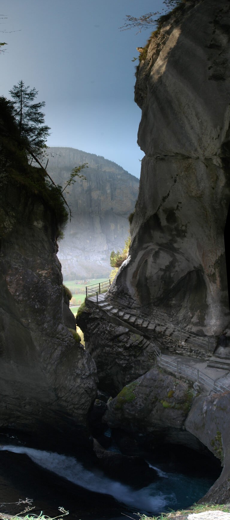
Photograph by Carsten Steger on Wikimedia Commons
About Lake Brienz
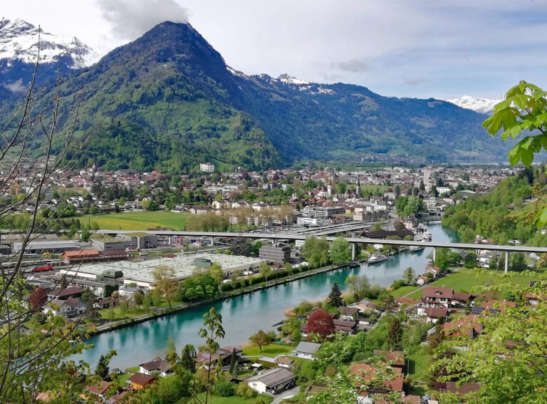
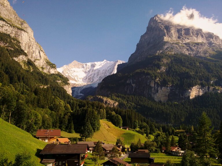
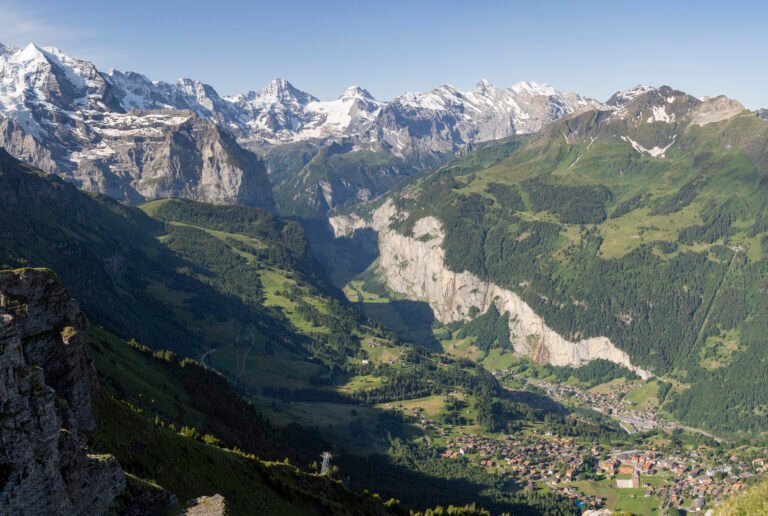
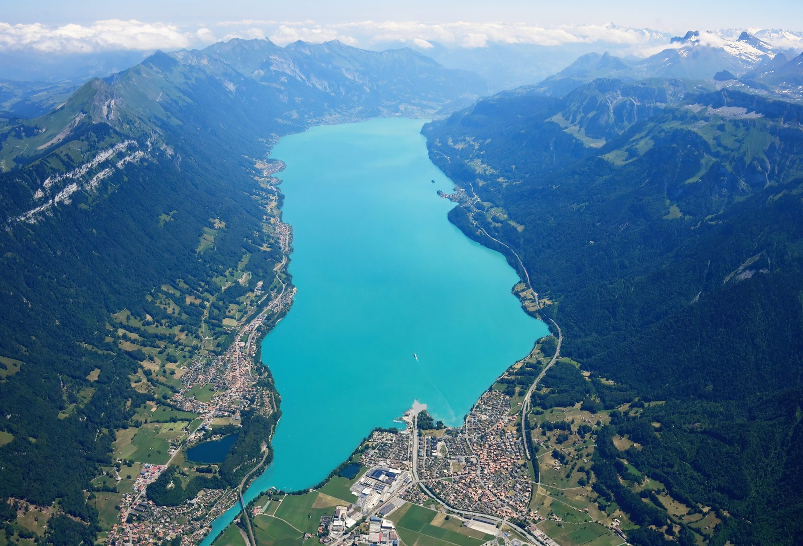
A lake fourteen kilometres long, 2.8 wide and 260 metres deep, sitting at 564 metres just north of the Alps. The upper Aare feeds it at the eastern end and the Giessbach comes down the southern shore from the steep forested slopes below the Faulhorn and Schwarzhoren, more than 2,000 metres above the water; both headwaters of the Lütschine enter at the southwestern corner, the Black from Grindelwald and the White from Lauterbrunnen. The high point of its whole drainage basin is the Finsteraarhorn, at 4,274 metres.
Watch
Read and plan
Nearby, across borders
Within 60 km as the crow flies, in any country.