Bernese Oberland & Mittelland Alpine & high mountainGlacier & iceHill walking
Lauterbrunnen
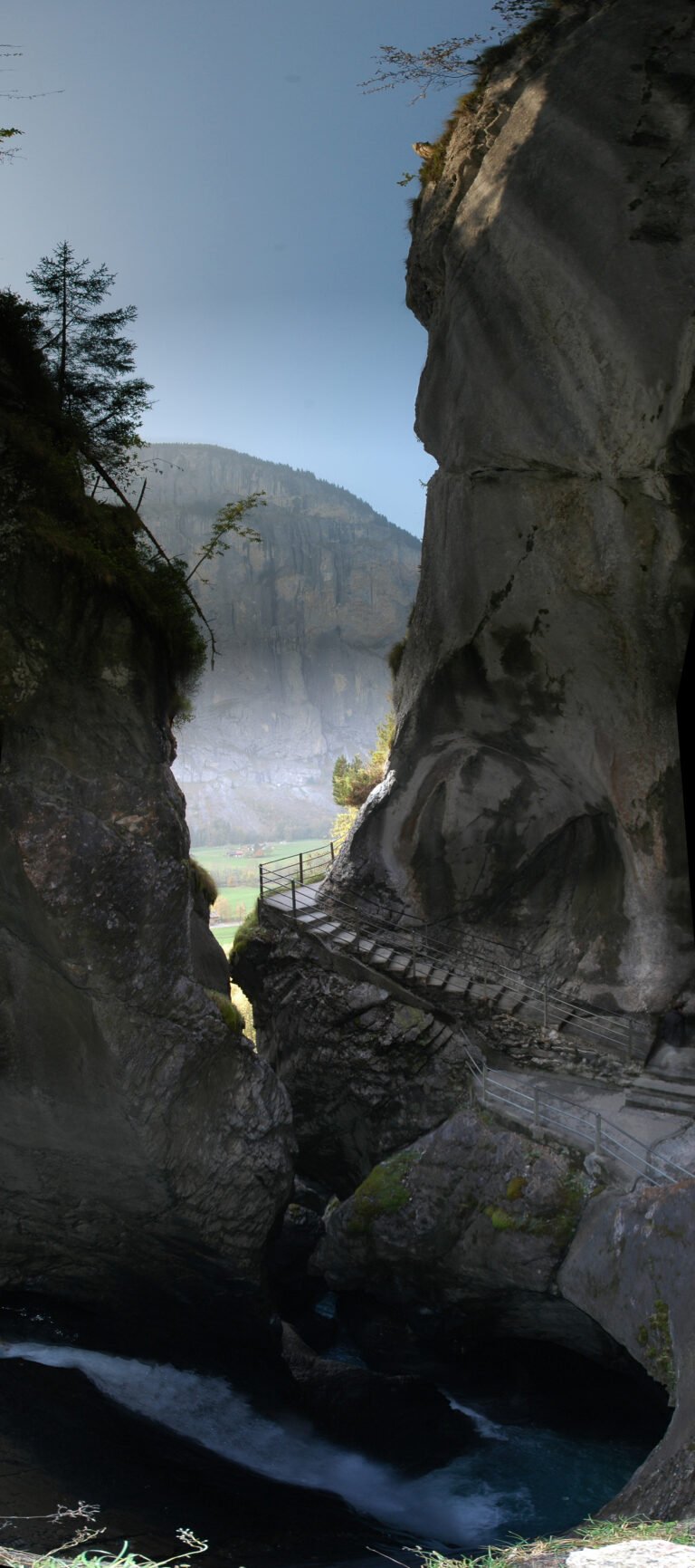
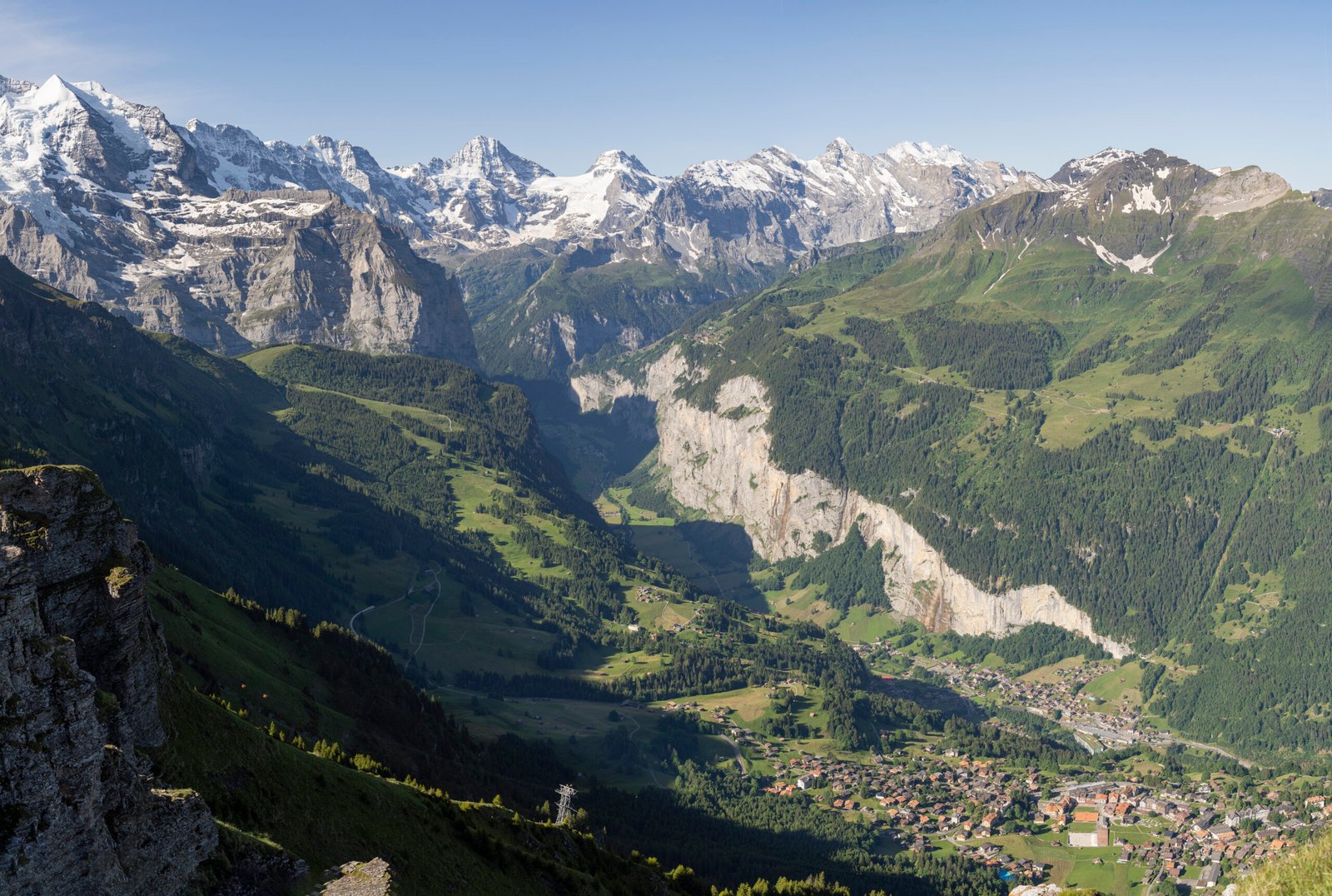
A valley under the Eiger, Mönch and Jungfrau
Photograph by Chensiyuan on Wikimedia Commons
About Lauterbrunnen
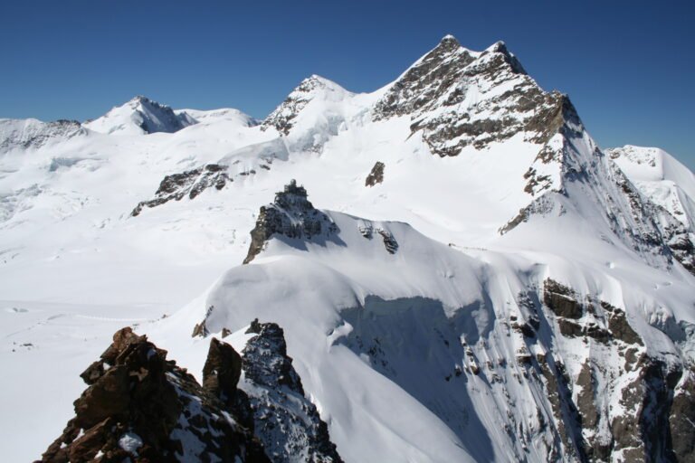
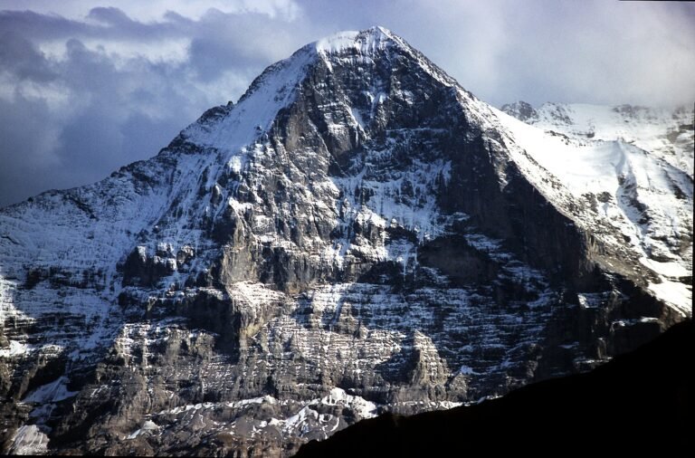
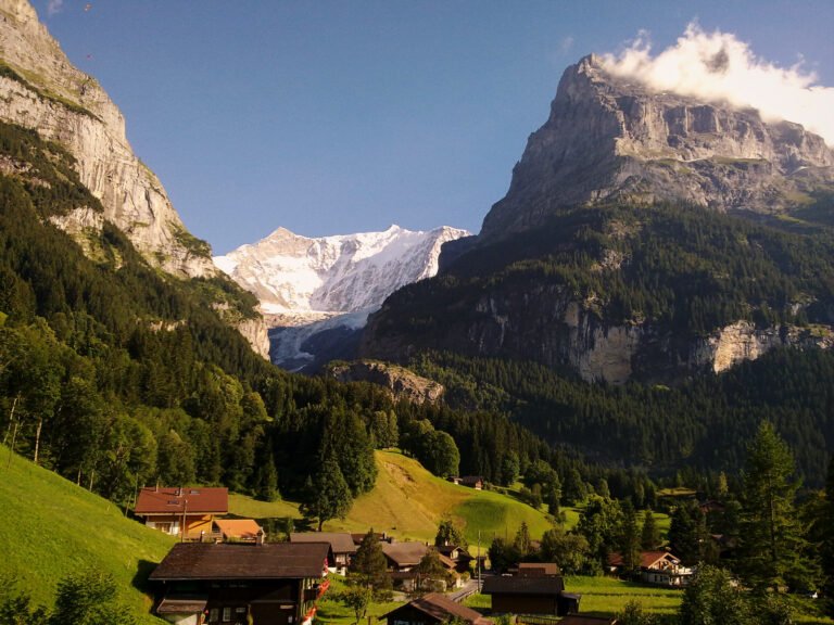
A valley at the foot of the Bernese Alps, overlooked by the Eiger, the Mönch, the Jungfrau and a good many other high peaks, drained by the White Lütschine and holding several glaciers. The municipality takes in Wengen, Mürren, Gimmelwald, Stechelberg and Isenfluh along with the village itself. Wengen is in fact the larger. With Grindelwald it forms the Jungfrau Region. The Bernese Oberland Railway links it to Interlaken, and the Wengernalp Railway starts here for Kleine Scheidegg.
Watch
Read and plan
Nearby, across borders
Within 60 km as the crow flies, in any country.