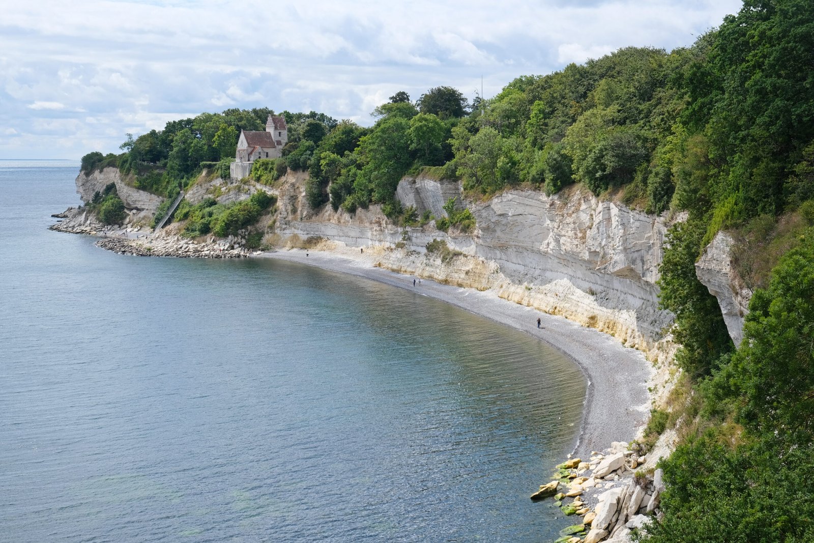
Stevns Klint
The asteroid layer, five centimetres thick
Foto door kallerna op Wikimedia Commons
Nog niet beschikbaar in het Nederlands. Weergegeven in het Engels.
Over Stevns Klint
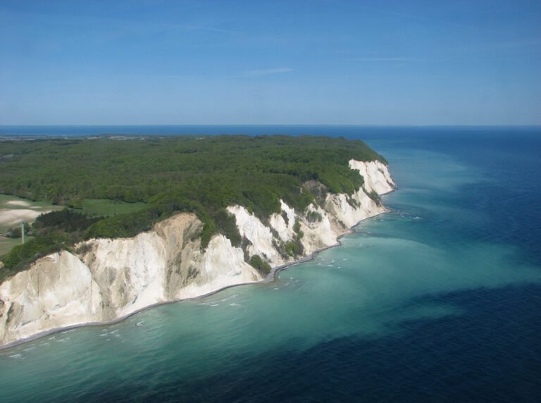
Seventeen kilometres of white chalk cliff rising up to forty metres, and one of the best exposed Cretaceous–Paleogene boundaries anywhere in the world, which is why UNESCO listed it in 2014. The dark layer of fiskeler, five to ten centimetres thick, marks the boundary itself, and its enrichment in iridium is a central piece of evidence for the Alvarez hypothesis that an asteroid impact caused the worldwide mass extinction. Above it sits a band of darker clay recording a sea floor almost emptied of life. The Cretaceous chalk here holds more than 450 species of macrofossils.
Kijken
Lezen en plannen
In de buurt, over de grens
Binnen 60 km van deze plek, in elk land.