Sölden
Austria's largest municipality by area
Foto door Leo-setä op Wikimedia Commons
Nog niet beschikbaar in het Nederlands. Weergegeven in het Engels.
Over Sölden
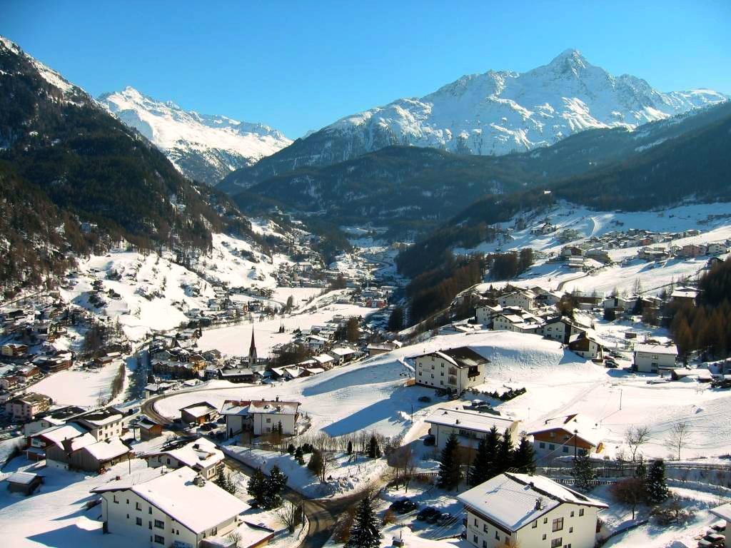
At about 467 square kilometres this is the largest municipality in Austria, and its 3,449 residents are heavily outnumbered by visitors. There are beds for 15,000, and over two million overnight stays a year put it third among Austrian destinations after Vienna and Salzburg. The main village stands at 1,368 metres and Hochsölden above it at 2,090. The Wildspitze, at 3,768 metres, is the second highest mountain in the country after the Grossglockner. The Ötztal Glacier Road, running up to the Rettenbach and Tiefenbach glaciers, is the second highest paved road in Europe.
Kijken
Lezen en plannen
In de buurt, over de grens
Binnen 60 km van deze plek, in elk land.

Rustiger in de buurt
Meer plekken van een ander soort binnen 60 km.