Sölden
Austria's largest municipality by area
Foto von Leo-setä auf Wikimedia Commons
Noch nicht auf Deutsch verfügbar. Angezeigt wird die Fassung auf Englisch.
Über Sölden
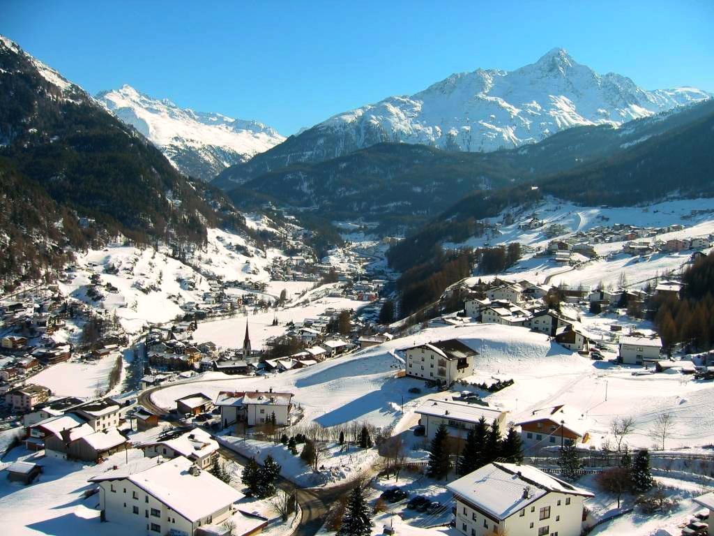
At about 467 square kilometres this is the largest municipality in Austria, and its 3,449 residents are heavily outnumbered by visitors. There are beds for 15,000, and over two million overnight stays a year put it third among Austrian destinations after Vienna and Salzburg. The main village stands at 1,368 metres and Hochsölden above it at 2,090. The Wildspitze, at 3,768 metres, is the second highest mountain in the country after the Grossglockner. The Ötztal Glacier Road, running up to the Rettenbach and Tiefenbach glaciers, is the second highest paved road in Europe.
Ansehen
Lesen und planen
In der Nähe, über Grenzen hinweg
Im Umkreis von 60 km um diesen Ort, in jedem Land.

Ruhiger in der Nähe
Weitere Orte anderer Art im Umkreis von 60 km.