Lake Cerknica
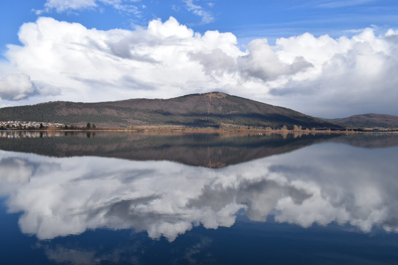
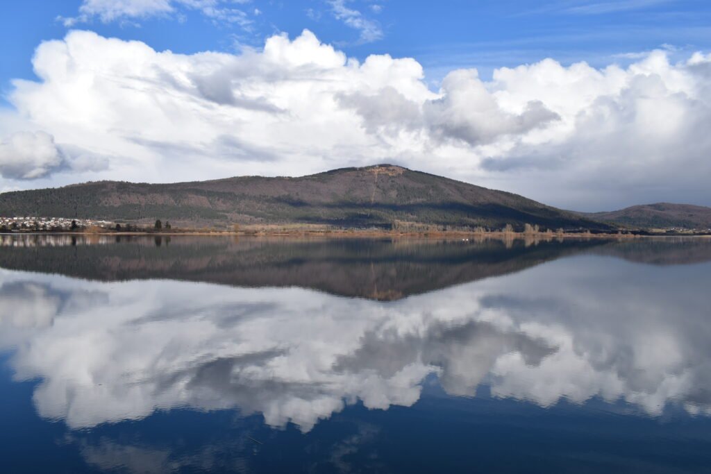
A lake that comes and goes
Foto door JožeStražišar op Wikimedia Commons
Nog niet beschikbaar in het Nederlands. Weergegeven in het Engels.
Over Lake Cerknica
An intermittent lake on a karst polje: present for most of the year, and when full the largest lake in the country, covering usually about twenty-eight square kilometres but reaching thirty-eight, with the surface rising and falling between 546 and 551 metres. The plain is closed by the Javornik Hills to the south and Slivnica to the north, both Dinaric. The climate is continental, with about 1,700 millimetres of rain a year. Amphibious plants distinguish it botanically, and it lies within two Natura 2000 areas and the Inner Carniola Regional Park.
Kijken
Lezen en plannen
In de buurt, over de grens
Binnen 60 km van deze plek, in elk land.
Rustiger in de buurt
Meer plekken van een ander soort binnen 60 km.