Lake Cerknica
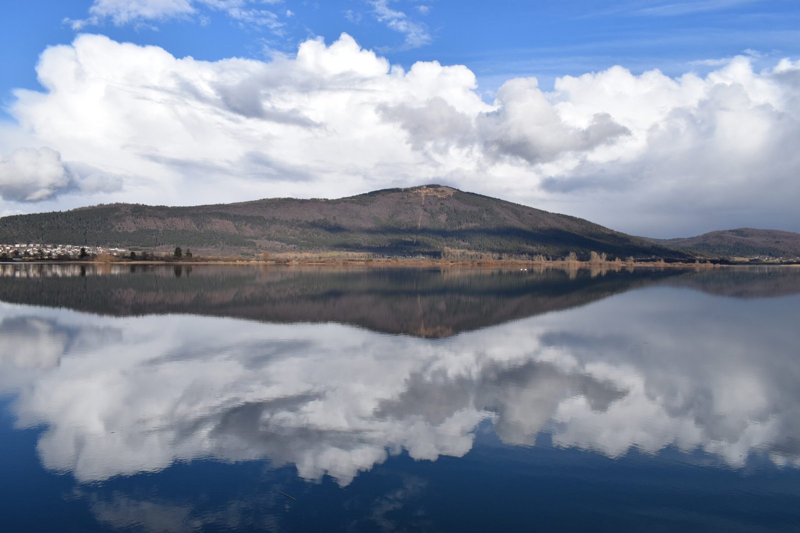
A lake that comes and goes
Foto von JožeStražišar auf Wikimedia Commons
Noch nicht auf Deutsch verfügbar. Angezeigt wird die Fassung auf Englisch.
Über Lake Cerknica
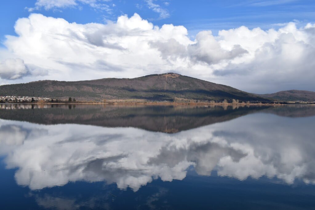
An intermittent lake on a karst polje: present for most of the year, and when full the largest lake in the country, covering usually about twenty-eight square kilometres but reaching thirty-eight, with the surface rising and falling between 546 and 551 metres. The plain is closed by the Javornik Hills to the south and Slivnica to the north, both Dinaric. The climate is continental, with about 1,700 millimetres of rain a year. Amphibious plants distinguish it botanically, and it lies within two Natura 2000 areas and the Inner Carniola Regional Park.
Ansehen
Lesen und planen
In der Nähe, über Grenzen hinweg
Im Umkreis von 60 km um diesen Ort, in jedem Land.
Ruhiger in der Nähe
Weitere Orte anderer Art im Umkreis von 60 km.