Møre og Romsdal Toegankelijk wandelenCoastal & cliff walkingEiland & eilandengroep
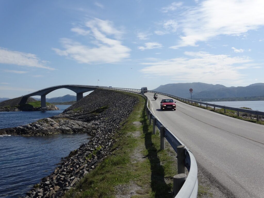
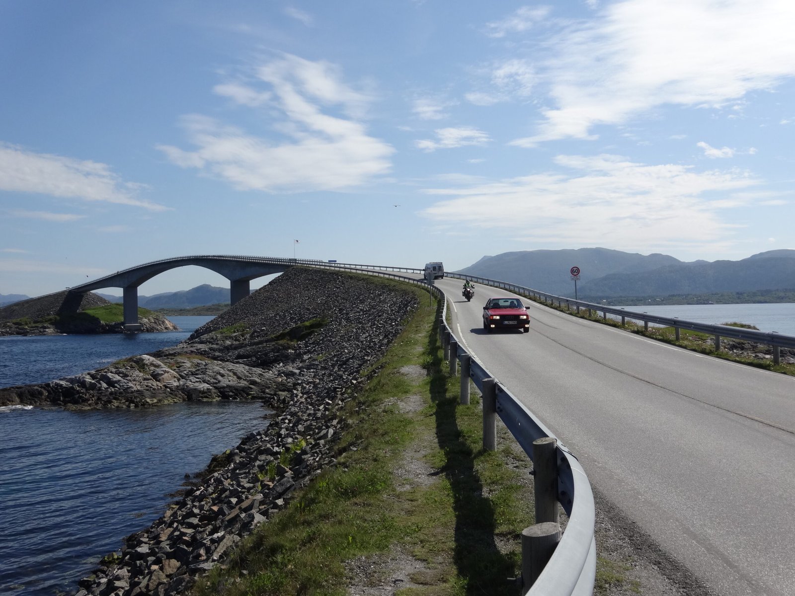
Atlantic Ocean Road
Eight bridges across an open-sea archipelago
Foto door JøMa op Wikimedia Commons
Nog niet beschikbaar in het Nederlands. Weergegeven in het Engels.
Over Atlantic Ocean Road
Eight and a bit kilometres of County Road 64 threaded across islands and skerries on causeways, viaducts and eight bridges, the best known being Storseisundet, which appears to end in mid-air from certain angles. It faces Hustadvika, an unsheltered stretch of the Norwegian Sea, and construction was hit by twelve European windstorms before it opened on 7 July 1989. The tolls were meant to run fifteen years but the road was paid off by June 1999. It is now a protected cultural heritage site, a National Tourist Route, and was voted Norwegian Construction of the Century.
Kijken