Geirangerfjord
Abandoned ledge farms above a UNESCO fjord
Foto door Andreas Trepte op Wikimedia Commons
Nog niet beschikbaar in het Nederlands. Weergegeven in het Engels.
Over Geirangerfjord
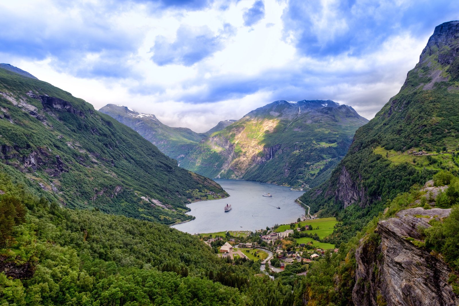
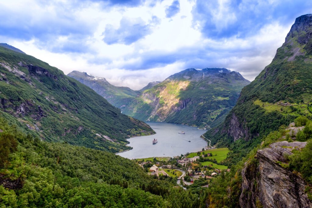
Fifteen kilometres of fjord branching off the Sunnylvsfjorden, walled by some of the steepest mountains on the west coast and with almost no shore to live on. Farms were built here anyway, high on the ledges, Skageflå, Knivsflå and Blomberg among them, now abandoned and partly restored, one reachable on foot from Geiranger and the rest only by boat. The Seven Sisters falls on one side and the Suitor faces them across the water, still courting. UNESCO listed the fjord with Nærøyfjord in 2005, and from 2026 the ships working it must run on zero emissions.
Kijken
Lezen en plannen
In de buurt, over de grens
Binnen 60 km van deze plek, in elk land.