Lower Saxony Coastal & dune walkingIsland & archipelagoNational park
Lower Saxon Wadden Sea National Park
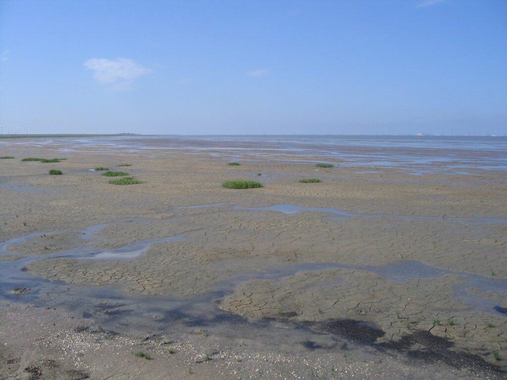
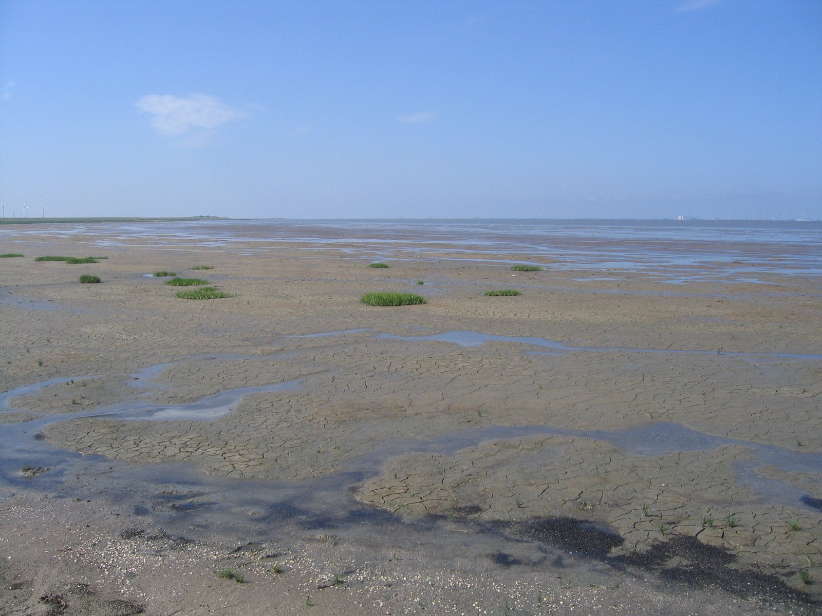
Mudflats and islands uncovered twice a day
Photograph by Bermicourt on Wikimedia Commons
About Lower Saxon Wadden Sea National Park
The Lower Saxon Wadden Sea National Park was established in 1986 and takes in the East Frisian Islands together with the mudflats and salt marshes between the Bay of Dollart on the Dutch border in the west and Cuxhaven, as far as the Outer Elbe shipping channel, in the east. It covers about 345,800 hectares, and the park organisation is based in Wilhelmshaven. Everything here is governed by the tide, which uncovers a landscape twice a day that is under water the rest of the time.
Watch