Utrechtse Heuvelrug
A sand ridge of woods and estates between Utrecht and the Veluwe
Photograph by Elise van Tilborg on Unsplash
About Utrechtse Heuvelrug
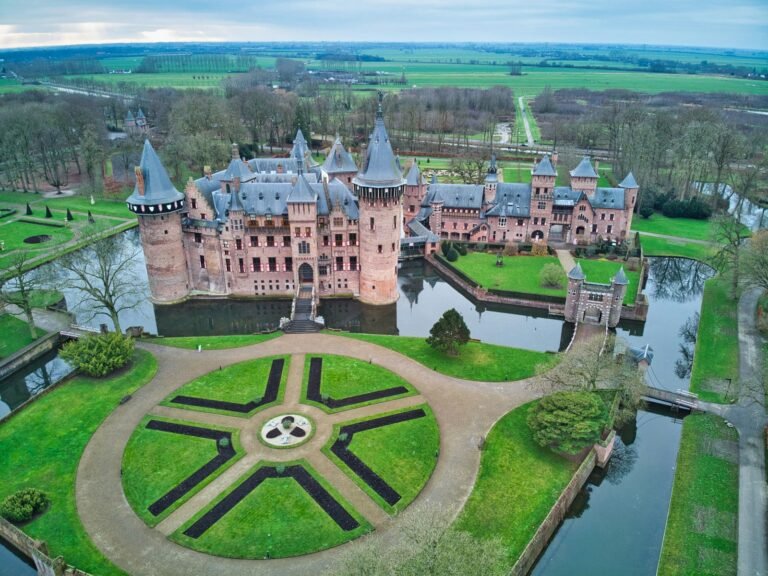
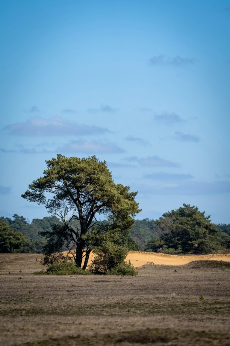
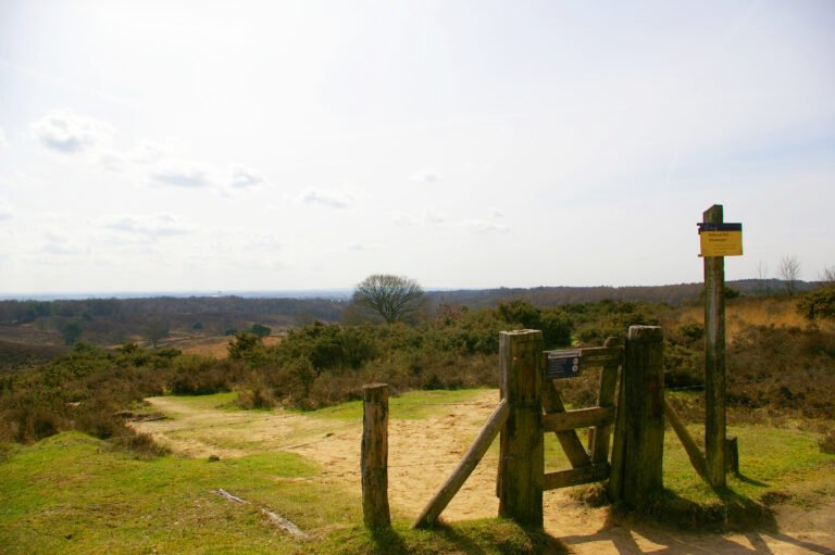
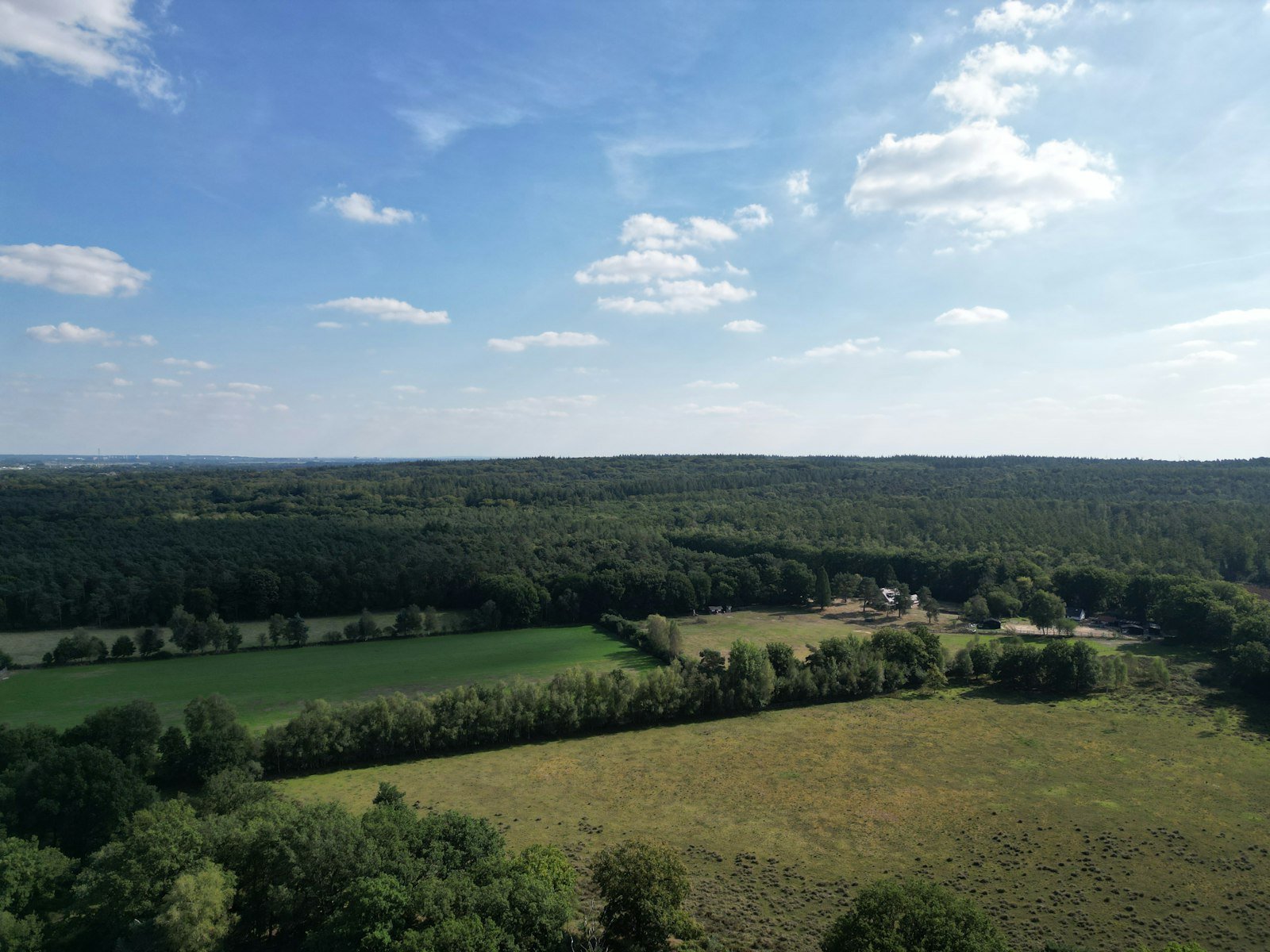
The Utrechtse Heuvelrug is a ridge of wooded sandhills running through the province of Utrecht, pushed up by ice-age glaciers and now the spine of a 6,000-hectare national park established in 2003. Oak and beech woodland alternates with open heath and drifting sand along its length. The villages strung down the southern slope (Amerongen, Doorn, Leersum, Driebergen) merged into a single municipality in 2006 and leave a run of country houses and landscaped grounds between the trees. Gradients are gentle and the paths are well waymarked. Trains from Driebergen-Zeist and Maarn put the ridge within easy reach of Utrecht.
Watch
Read and plan
Nearby, across borders
Within 60 km as the crow flies, in any country.