North Wales Alpine & high mountainHill walkingLake & waterway
Snowdonia (Eryri)
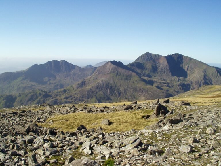
All fifteen Welsh mountains over 3,000 feet
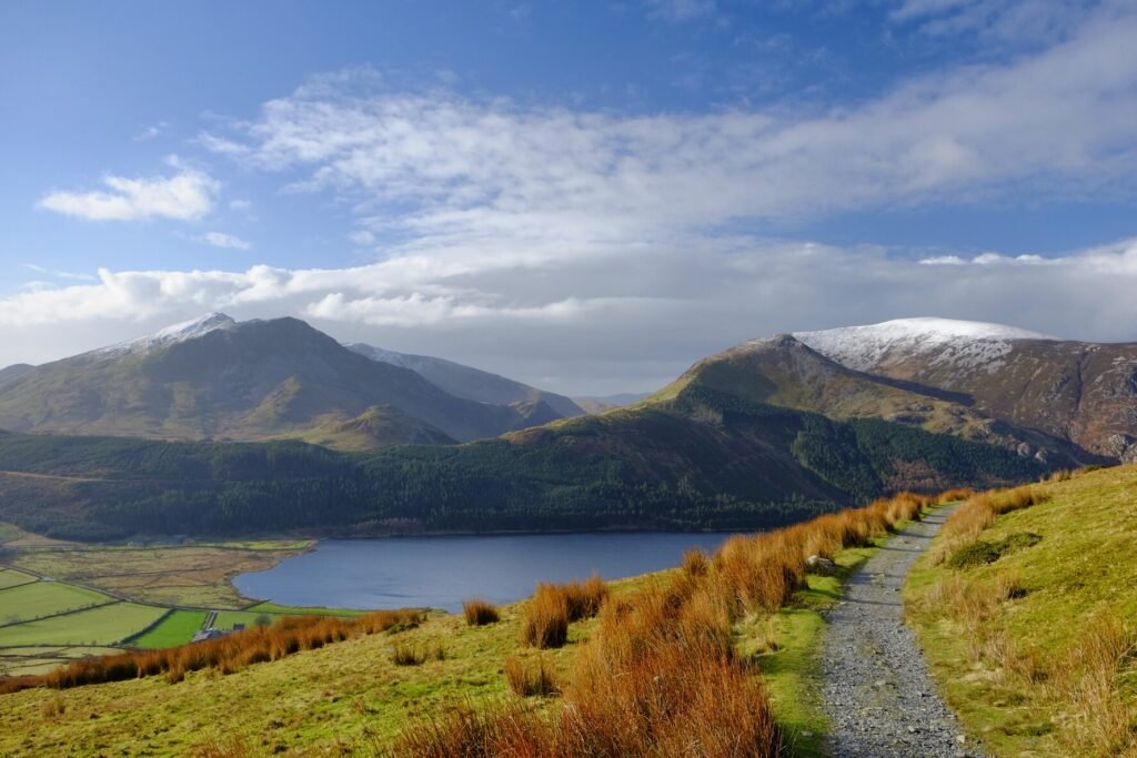
Photograph by Scott Wylie from UK on Wikimedia Commons
About Snowdonia (Eryri)
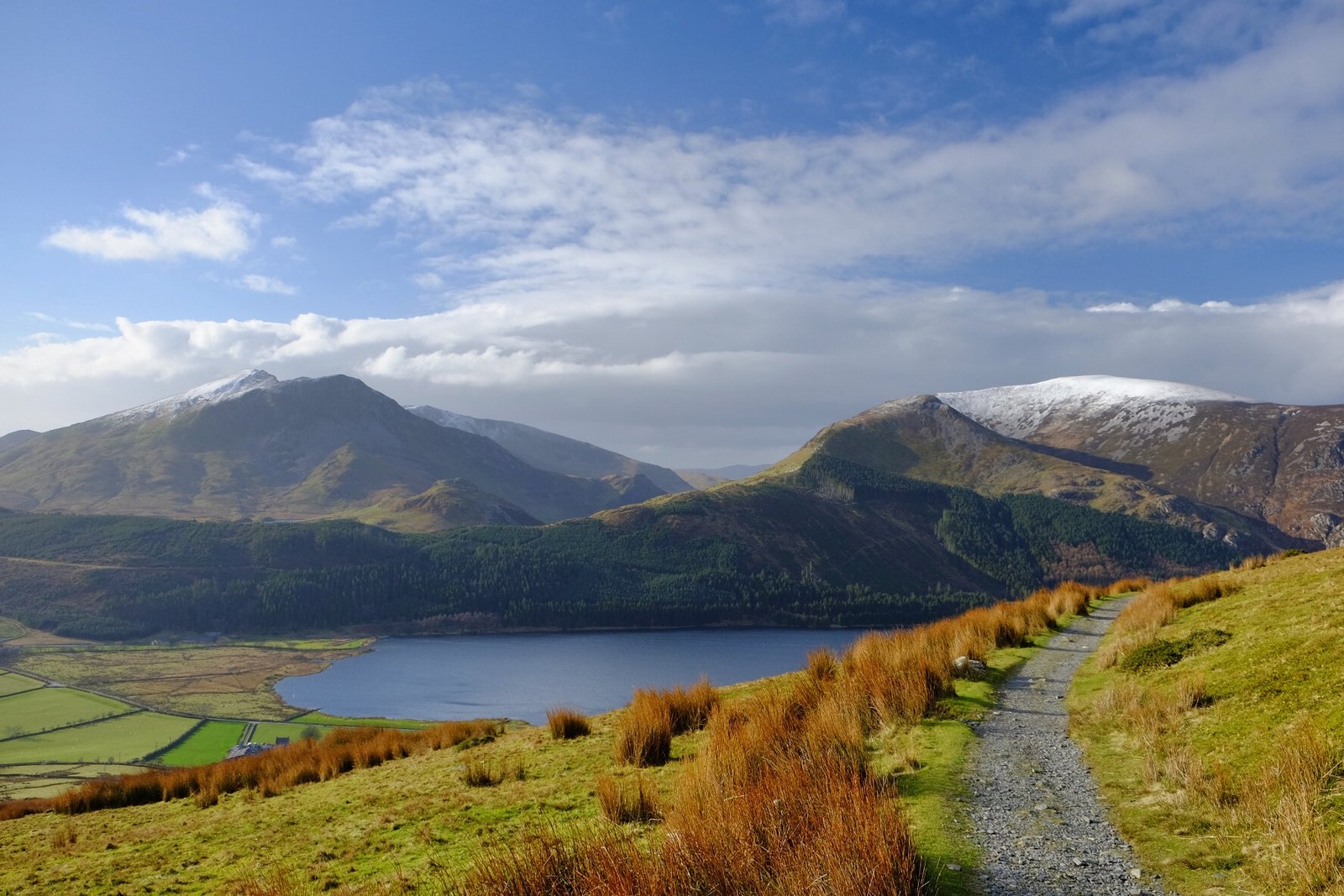
The national park holds all fifteen Welsh mountains over 3,000 feet, in the Snowdon, Glyderau and Carneddau ranges to the north with the lower Moelwynion and Moel Hebog behind them. At 823 square miles it takes in a good deal more than the area traditionally called Snowdonia, the Rhinogydd, Cadair Idris, the Aran ranges, the Dyfi Hills and most of the coast between Porthmadog and Aberdyfi. It was the first of the three Welsh national parks, designated in October 1951 and the third in the UK. It received 3.89 million visitors in 2015.
Watch
Read and plan
Nearby, across borders
Within 60 km as the crow flies, in any country.