Wild Atlantic Way — South Coastal & cliff walkingPrehistoric & archaeologyScenic route
Slea Head
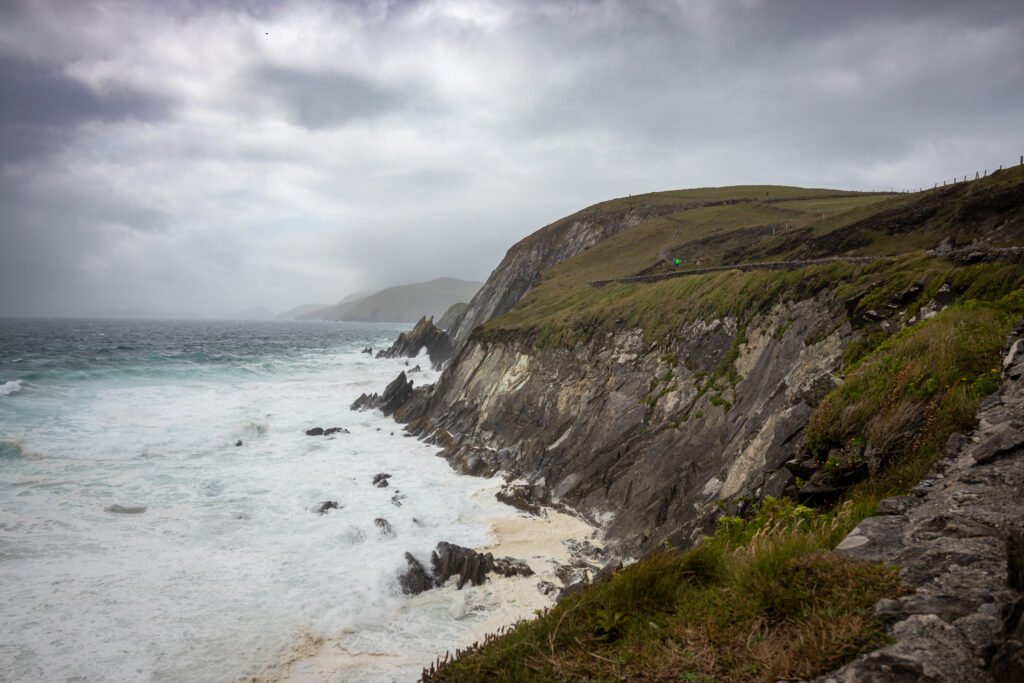
Old red sandstone, and the Blasket Islands beyond
Photograph by Superbass on Wikimedia Commons
About Slea Head
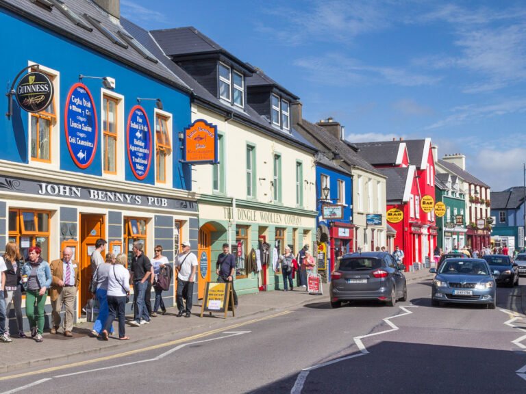
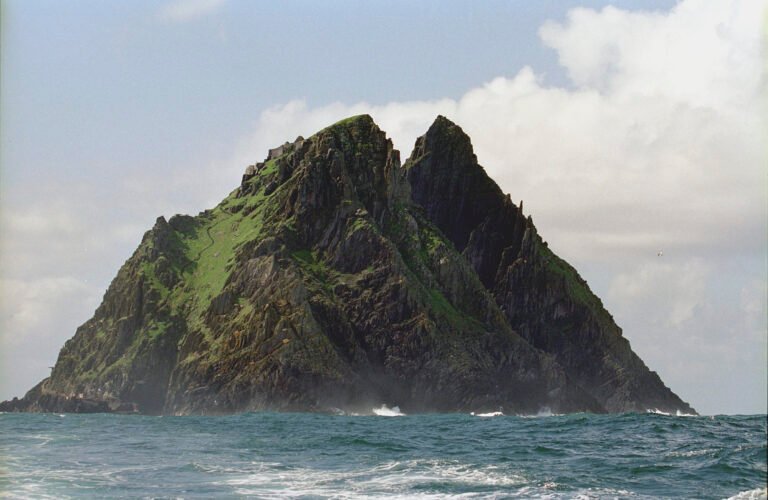
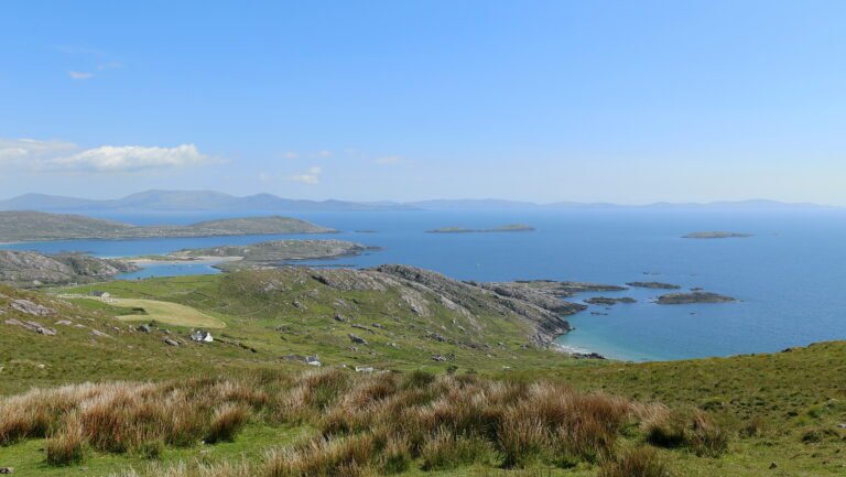
A promontory at the westernmost part of the Dingle Peninsula, reached by the R559, formed with the southern slopes of Mount Eagle from steeply dipping pebbly sandstones and conglomerates of Devonian age, the old red sandstone. It gives a full view of the Blasket Islands, and Dunmore Head, the westernmost point of Ireland, lies just to the northwest. The Slea Head Drive passes Ventry Beach, a prehistoric fort and beehive huts, the Dingle Famine Cottage, Coumeenoole Beach and Gallarus Oratory before looping back to Dingle.
Watch
Read and plan
Nearby, across borders
Within 60 km as the crow flies, in any country.