Upper Austria & Salzkammergut Heathland & moorHill walkingLake & waterway
Salzkammergut
The salt mines of the Habsburg monarchy
Photograph by Isiwal on Wikimedia Commons
About Salzkammergut
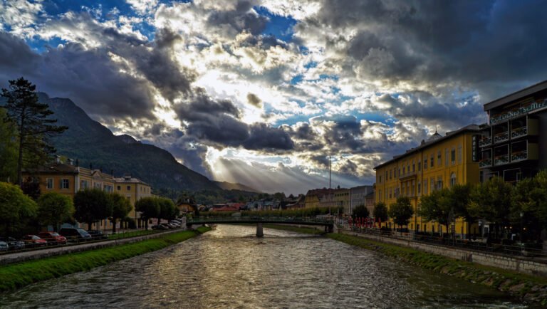
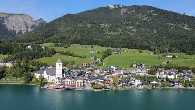
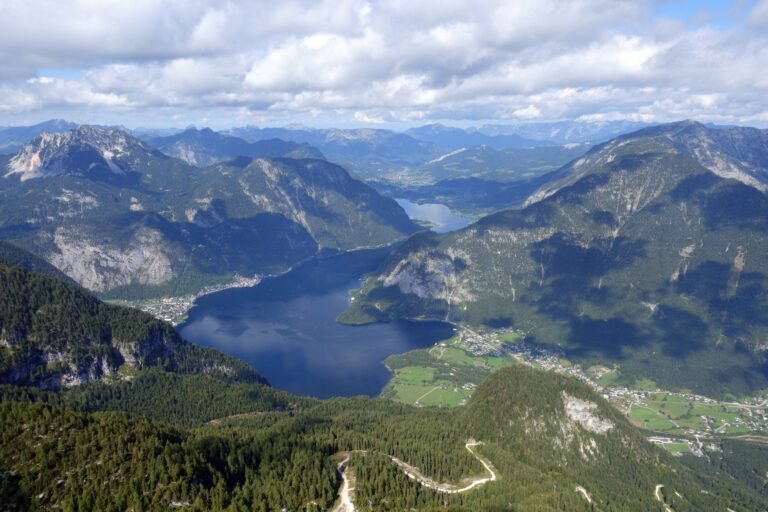
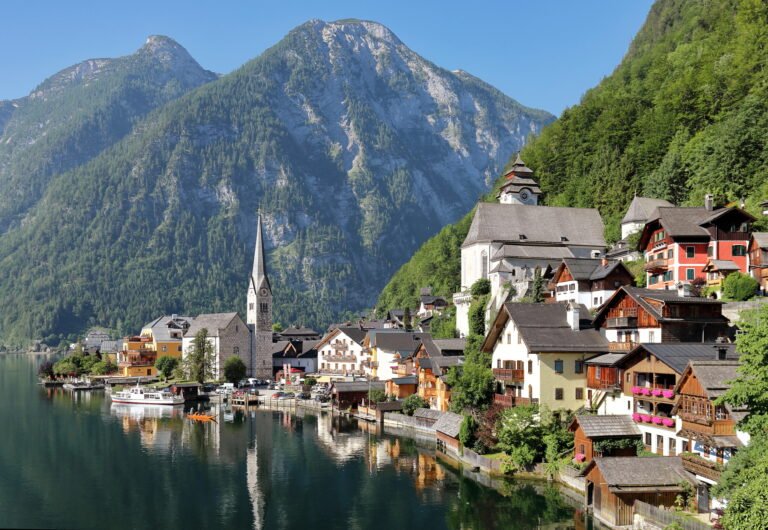
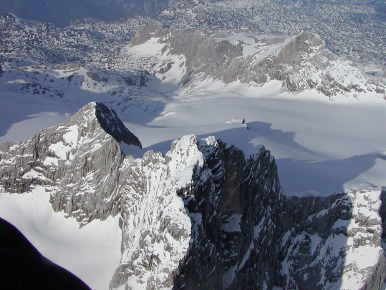
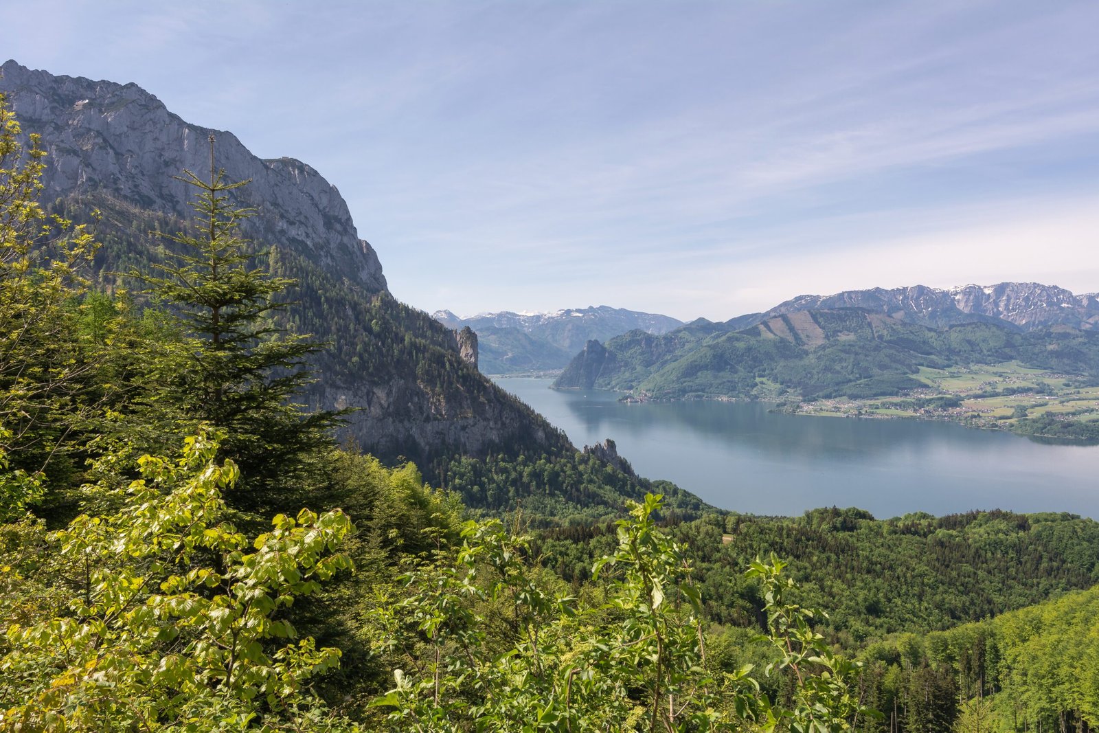
A resort region running east from Salzburg along the Alpine Foreland and the Northern Limestone Alps to the peaks of the Dachstein, with the Traun as its main river. The name means salt demesne: Kammergut denoted territories held by princes of the Holy Roman Empire, and in early modern Austria specifically Habsburg land. The salt mines here were run by the Imperial Salzoberamt at Gmunden from 1745 to 1850. The ground along the Traun holds numerous glacial lakes and raised bogs, with bright limestone karst and flysch on the slopes above. UNESCO listed parts of it in 1997.
Watch
Read and plan
Nearby, across borders
Within 60 km as the crow flies, in any country.