Midwest & Great Lakes Coastal & cliff walkingForest & estateLake & waterway
Pictured Rocks National Lakeshore
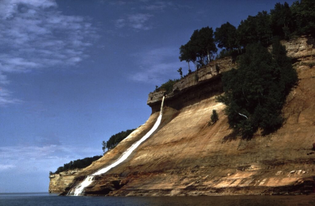
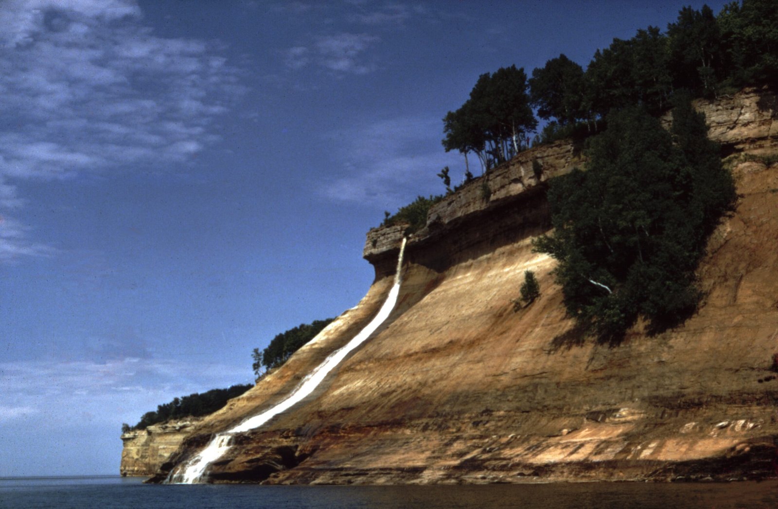
Thirteen miles of coloured sandstone cliff
Photograph by National Park Service on Wikimedia Commons
About Pictured Rocks National Lakeshore
Forty-two miles of Lake Superior shore in Michigan’s Upper Peninsula, 73,236 acres between Munising and Grand Marais. The name comes from thirteen miles of coloured sandstone cliffs northeast of Munising, rising as much as 200 feet above the lake and weathered into shallow caves, arches and formations that look like castle turrets and human profiles. Waterfalls and sand dunes fill out the rest. Congress designated it the first national lakeshore in the United States in 1966.
Watch