Normandy Accessible walkingBattlefield & remembranceCoastal & dune walking
Omaha Beach
Eight kilometres of Normandy coast, landed on 6 June 1944
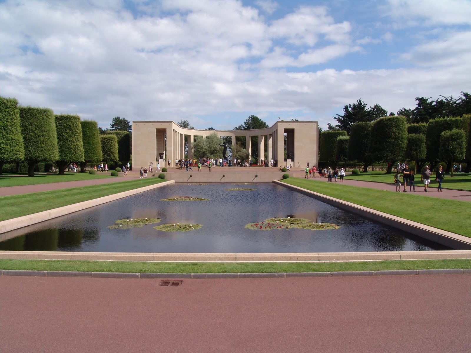
Photograph by Leon petrosyan on Wikimedia Commons
About Omaha Beach
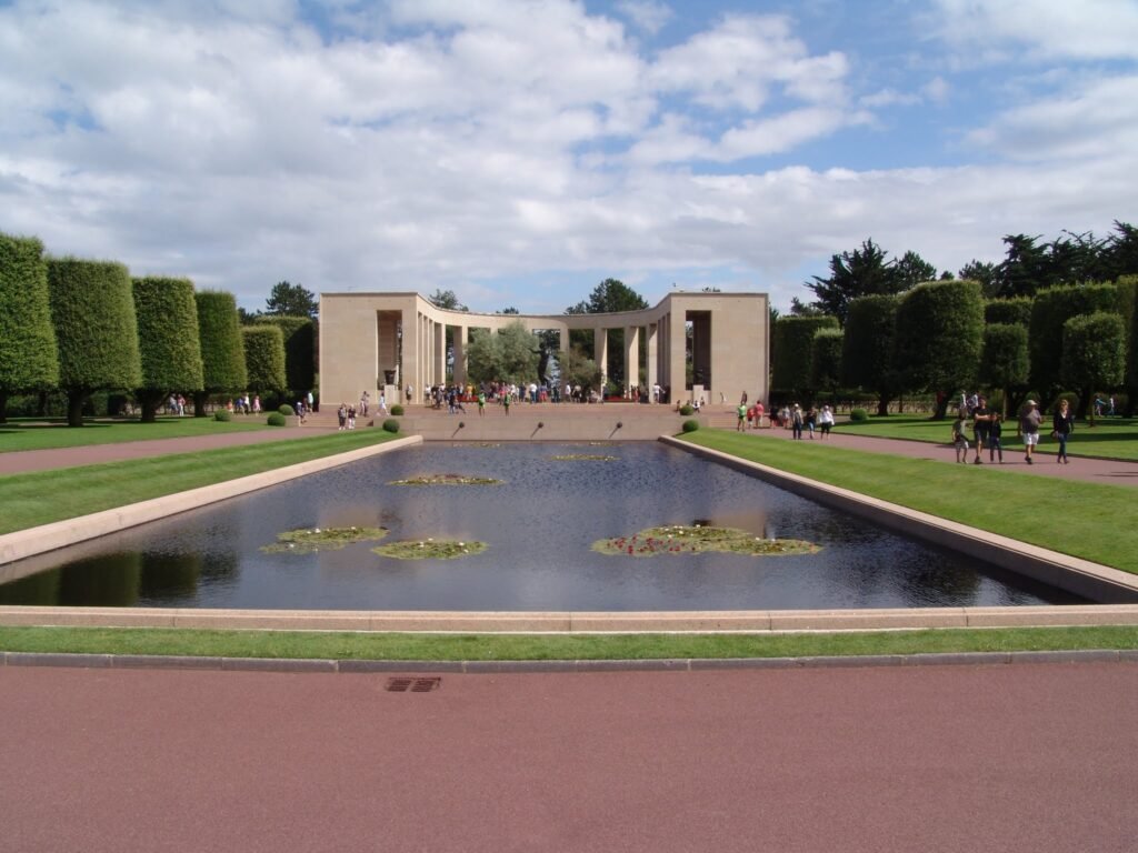
Omaha was one of five Allied landing sectors in the amphibious assault of Operation Overlord, and refers to an eight-kilometre stretch of the Normandy coast facing the English Channel, running from west of Sainte-Honorine-des-Pertes to east of Vierville-sur-Mer on the right bank of the Douve estuary. Landing here on 6 June 1944 was necessary to link the British beaches to the west. The beach today is wide, flat and quiet, backed by bluffs that explain more about the day than any account does. The American cemetery stands above it.
Watch