Vestland Coastal & cliff walkingFjord & sea cliffScenic route
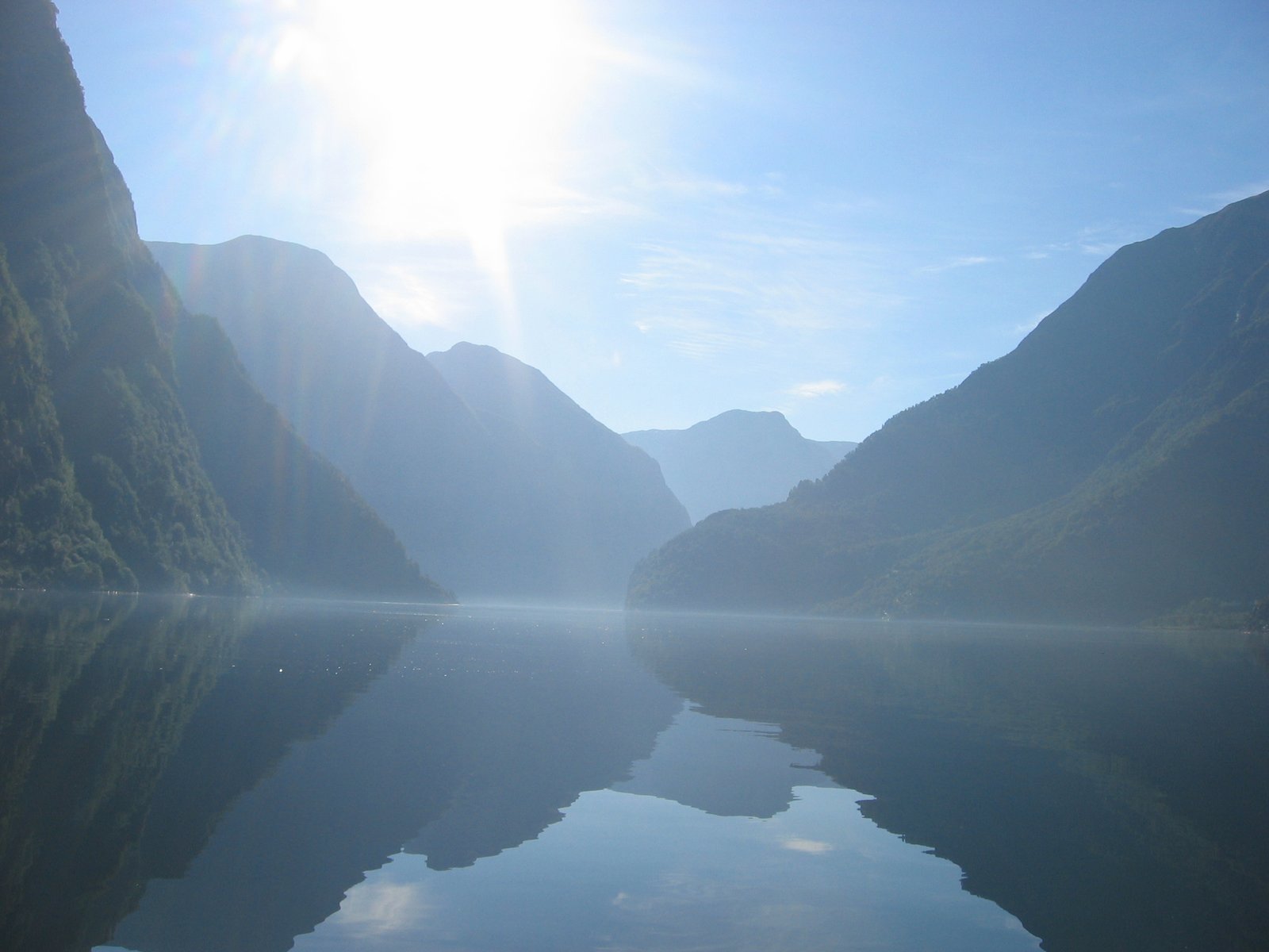
Nærøyfjord
250 metres wide, under mountains 1,761 metres high
Photograph by Karamell on Wikimedia Commons
About Nærøyfjord
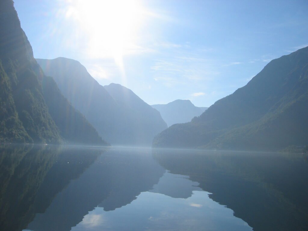
Seventeen kilometres long and, at the tightest point, roughly 250 metres wide, with mountains going up some 1,761 metres on either side. South of Bakka the water narrows to under 500 metres while the summits above stand only about three kilometres apart, which is the proportion that makes the place feel the way it does. Glaciers cut the valley during the Quaternary and the sea flooded it when they withdrew; waterfalls and hanging valleys still cut the walls. UNESCO inscribed it with Geirangerfjord in 2005. In hard winters it has frozen over, the 1920s, and again in 1962.
Watch
Read and plan
Nearby, across borders
Within 60 km as the crow flies, in any country.