Carinthia Alpine & high mountainGlacier & iceScenic route
Grossglockner High Alpine Road
The highest surfaced pass road in Austria
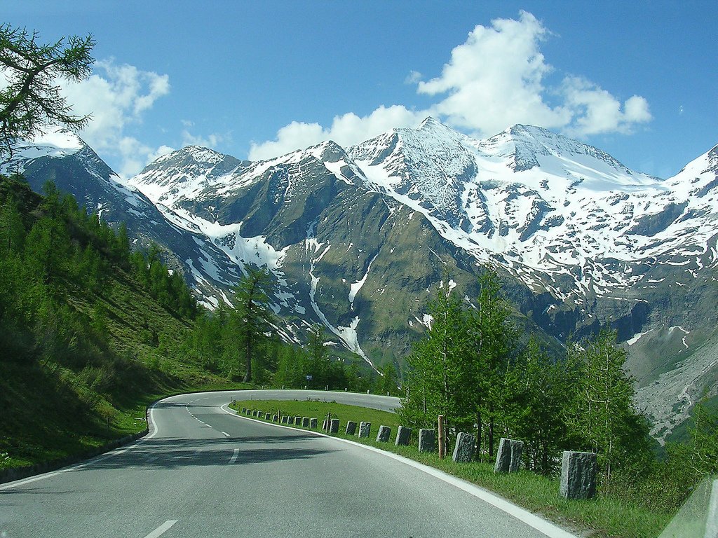
Photograph by Sander Hoogendoorn from Gouda, Holland on Wikimedia Commons
About Grossglockner High Alpine Road
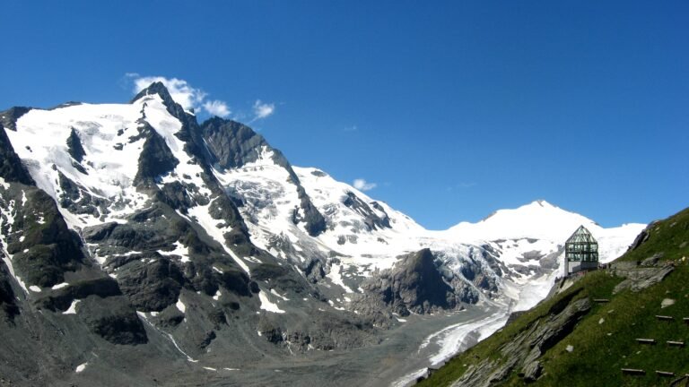
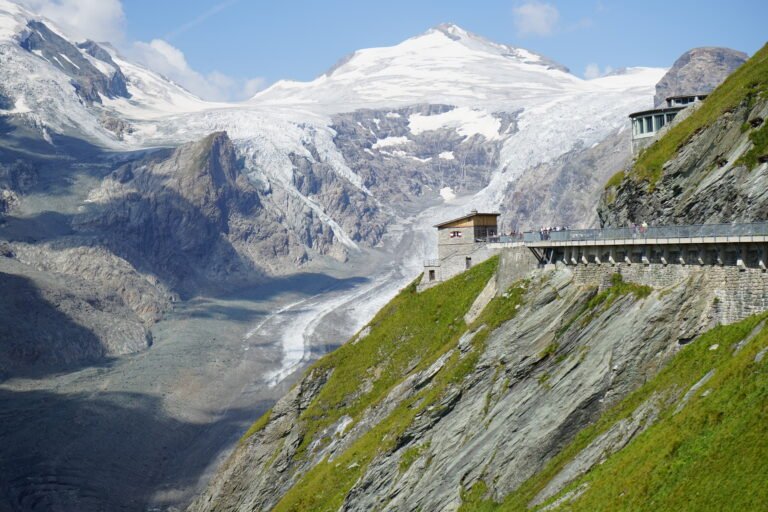
The highest surfaced mountain pass road in Austria, running from Bruck in Salzburg to Heiligenblut in Carinthia by way of the Fuscher Törl at 2,428 metres and the Hochtor Pass at 2,504. It was built as a scenic route and a toll is charged. Numbered hairpins climb from the toll booth at Ferleiten, a branch runs 1.5 kilometres up to the Edelweißspitze at 2,571 metres, and the road crosses the Alpine divide in a tunnel. Another branch leads to the Kaiser-Franz-Josefs-Höhe, named for the emperor’s visit with Elisabeth in 1856, looking over the Pasterze.
Watch
Read and plan
Nearby, across borders
Within 60 km as the crow flies, in any country.