Canary Islands Forest & estateHill walkingNational park
Garajonay National Park
Relic laurel forest on the ridge of La Gomera
Photograph by dronepicr on Wikimedia Commons
About Garajonay National Park
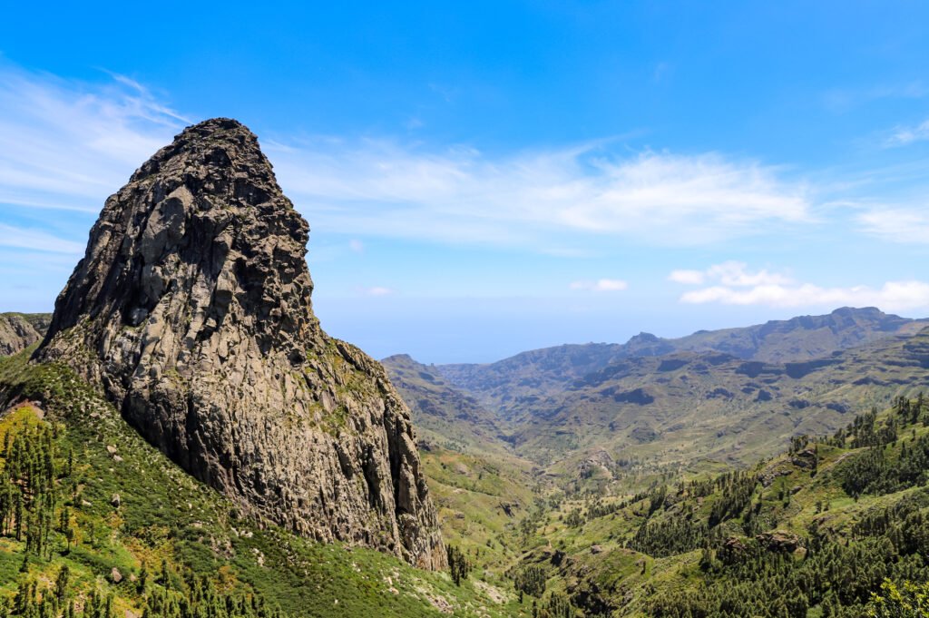
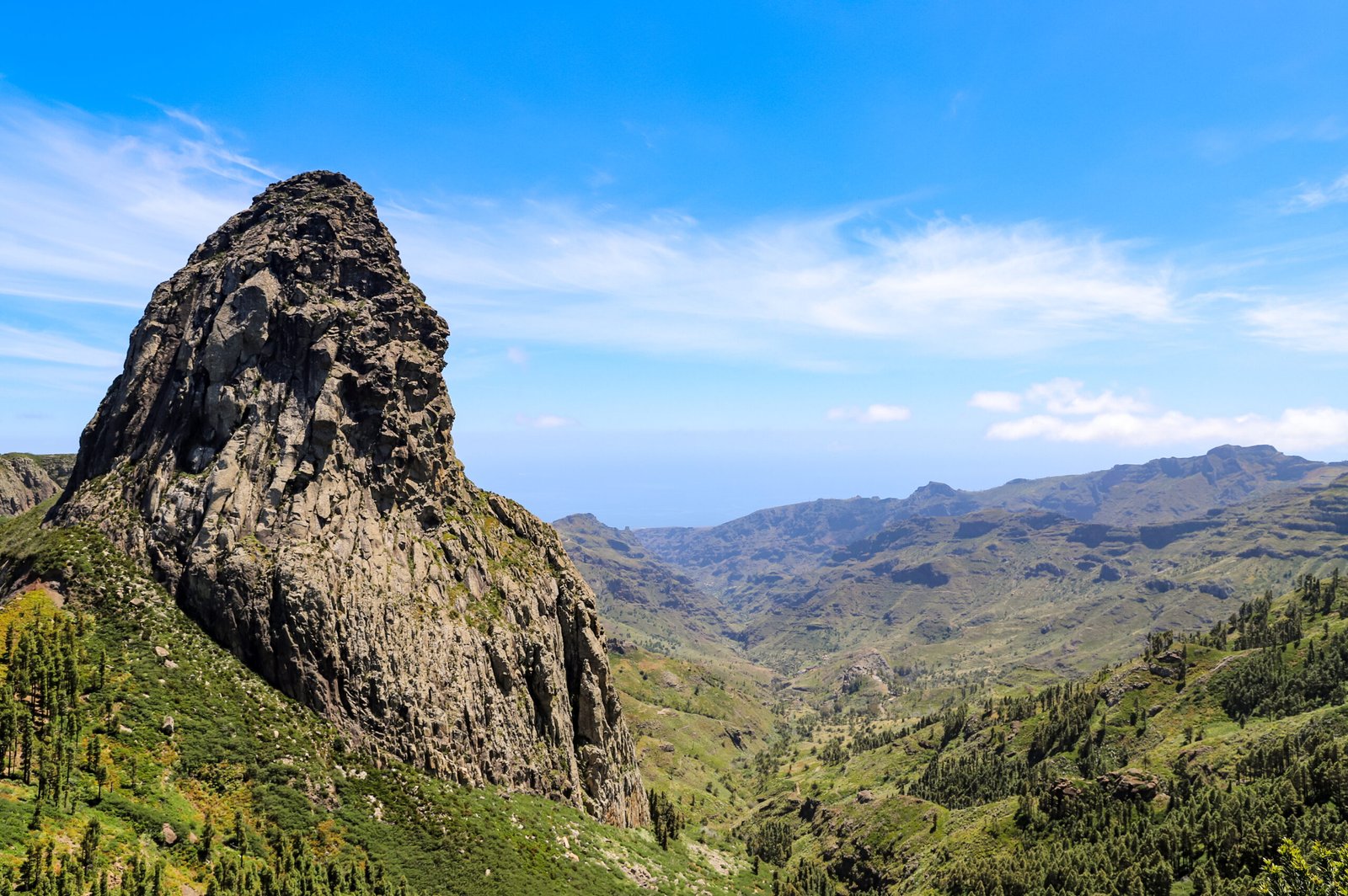
Garajonay covers 40 square kilometres in the centre and north of La Gomera, reaching into all six of the island’s municipalities. It was declared a national park in 1981 and a UNESCO World Heritage Site in 1986, and takes its name from the Garajonay rock formation. Around 450,000 people visit each year, staying in accommodation just outside the boundary. What is protected here is laurel forest, a relic of the subtropical forest that in the Tertiary covered almost all of Southern Europe, kept alive by the cloud that hangs on the ridge. It is damp, mossy walking, and cooler than the coast below.
Watch