Provence-Alpes-Côte d'Azur Gorge & canyonRandonnée en montagneParc national
Verdon Gorge
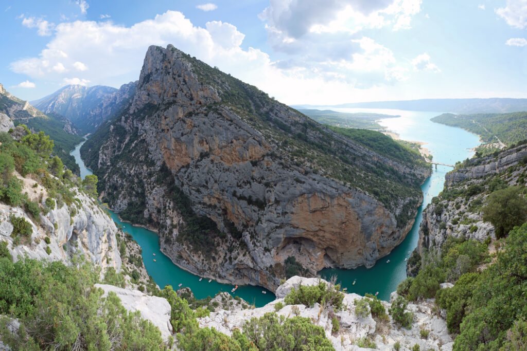
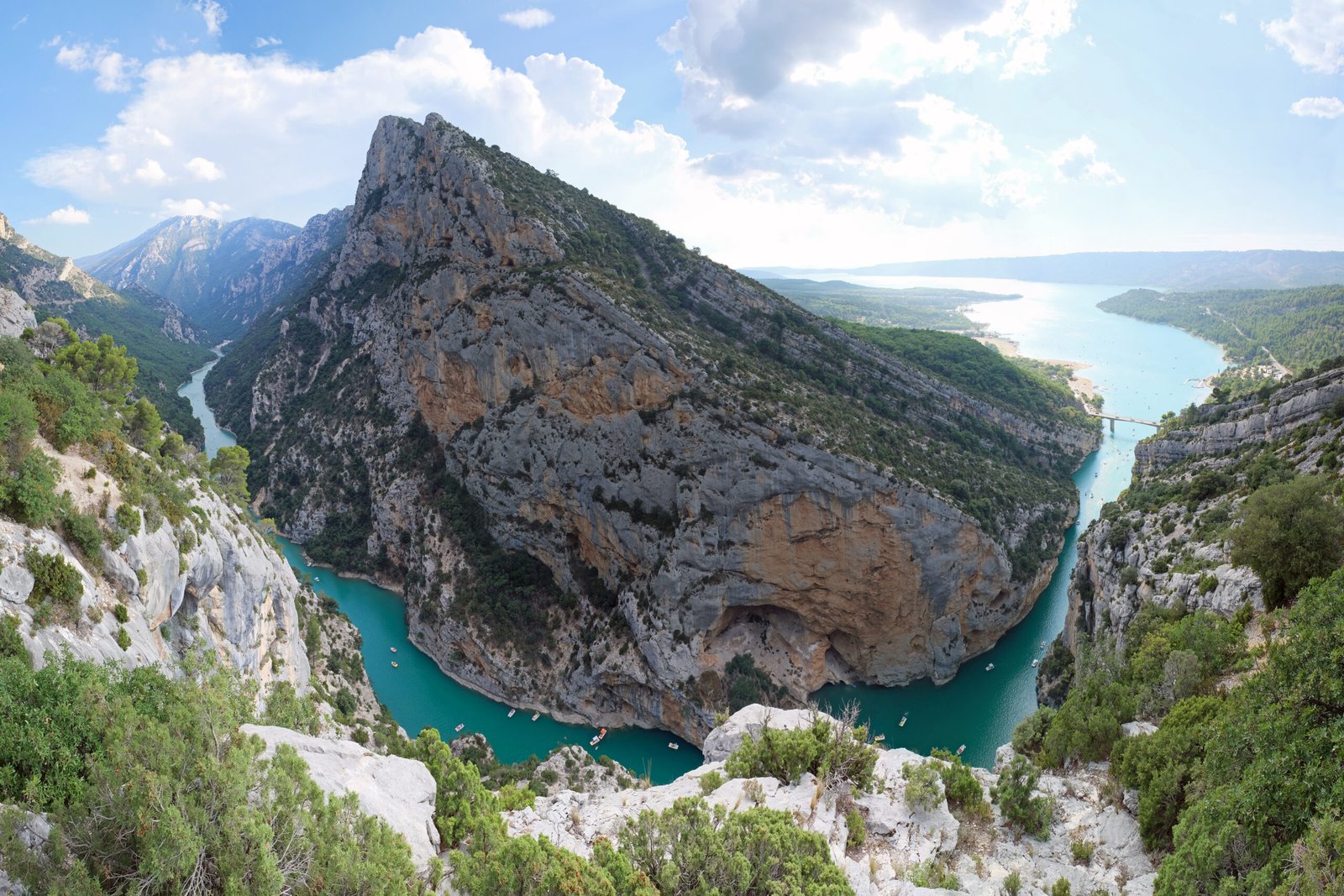
A turquoise river 700 metres below the rim
Photo de kallerna sur Wikimedia Commons
Pas encore disponible en français. Affiché en anglais.
À propos de Verdon Gorge
The Verdon Gorge is a river canyon in Provence-Alpes-Côte d’Azur, about 25 kilometres long and up to 700 metres deep. It was cut by the Verdon, a river named for the turquoise-green colour that is the first thing anyone notices about it, carving down through limestone between the towns of Castellane and Moustiers-Sainte-Marie. The rim roads give the views; the paths down into the gorge give the scale. It is one of the best-known climbing venues in Europe, and the water at the foot is cold enough to be startling in August.
Regarder