Provence-Alpes-Côte d'Azur Gorge & canyonWandern in den BergenNationalpark
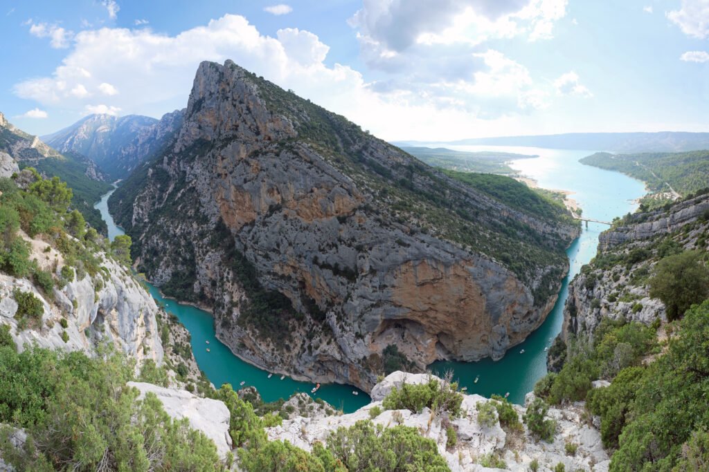
Verdon Gorge
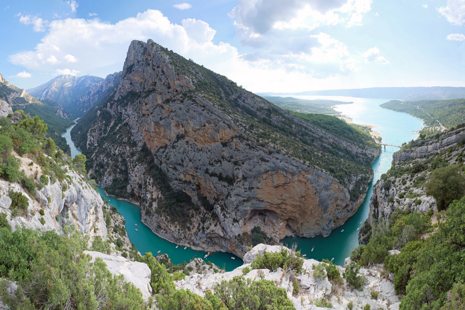
A turquoise river 700 metres below the rim
Foto von kallerna auf Wikimedia Commons
Noch nicht auf Deutsch verfügbar. Angezeigt wird die Fassung auf Englisch.
Über Verdon Gorge
The Verdon Gorge is a river canyon in Provence-Alpes-Côte d’Azur, about 25 kilometres long and up to 700 metres deep. It was cut by the Verdon, a river named for the turquoise-green colour that is the first thing anyone notices about it, carving down through limestone between the towns of Castellane and Moustiers-Sainte-Marie. The rim roads give the views; the paths down into the gorge give the scale. It is one of the best-known climbing venues in Europe, and the water at the foot is cold enough to be startling in August.
Ansehen