Saarland Promenades accessiblesForêts et domainesRandonnée en montagne
Saarschleife
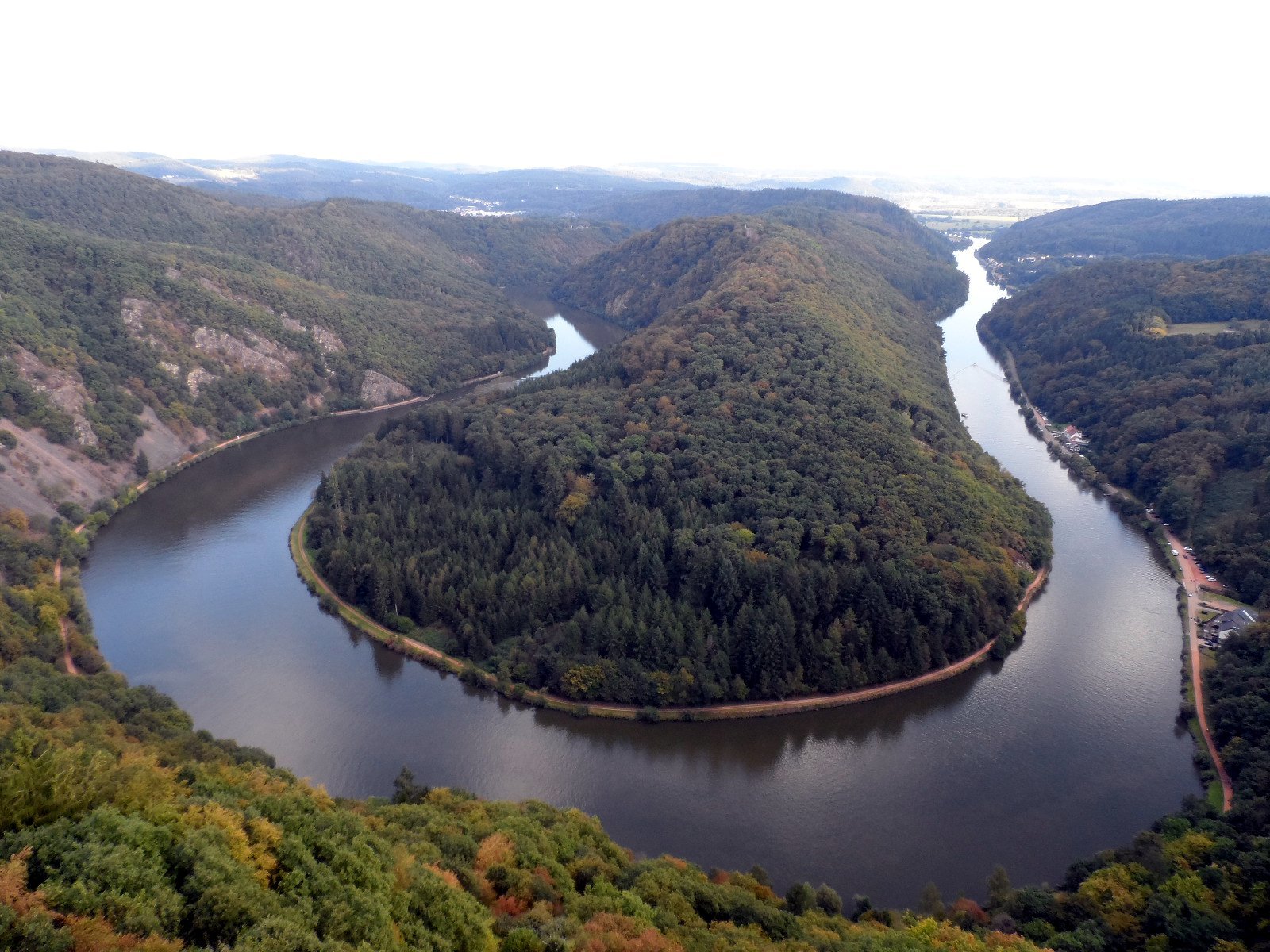
The great bend of the Saar at Mettlach
Photo de Phrontis sur Wikimedia Commons
Pas encore disponible en français. Affiché en anglais.
À propos de Saarschleife
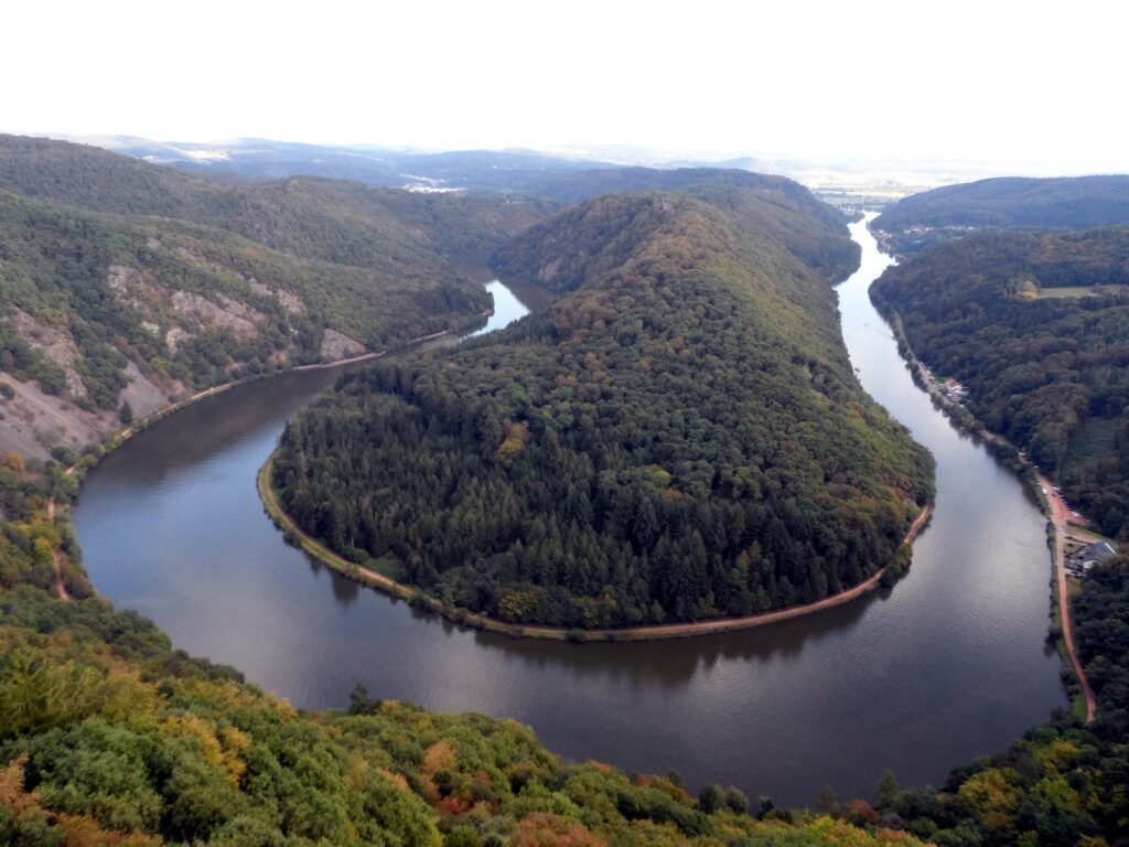
The Saarschleife, the great bend in the Saar at Mettlach, is a water gap cut by the river through a layer of quartzite, and the best-known attraction in the Saarland. It begins near the Besseringen district of Merzig and ends at Mettlach; the two are only about two kilometres apart, but the river takes a winding course of considerably more to get between them. The view from the Cloef above it is the reason to come, and a treetop walkway now runs out over the slope to reach it.
Regarder
Lire et planifier
À proximité, au-delà des frontières
À moins de 60 km de ce lieu, dans n'importe quel pays.