Saarland Barrierefreies WandernWald und LandgutWandern in den Bergen
Saarschleife
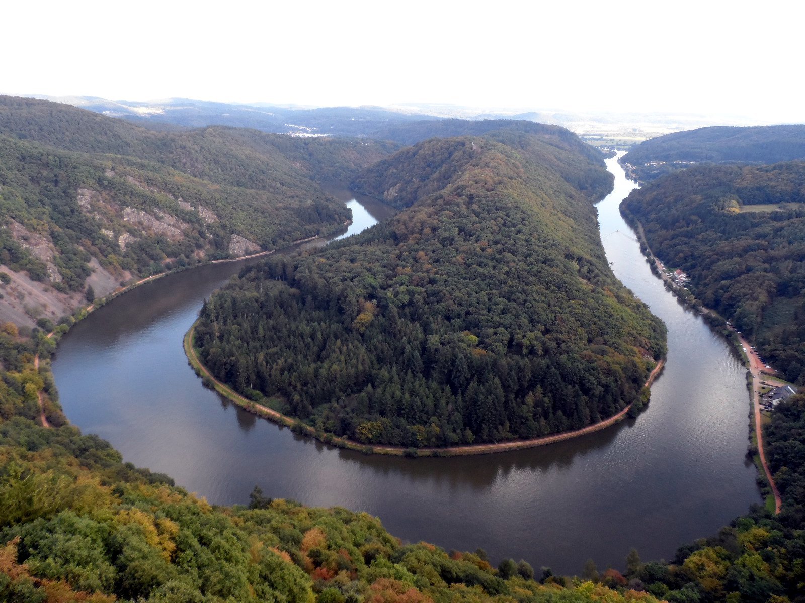
The great bend of the Saar at Mettlach
Foto von Phrontis auf Wikimedia Commons
Noch nicht auf Deutsch verfügbar. Angezeigt wird die Fassung auf Englisch.
Über Saarschleife
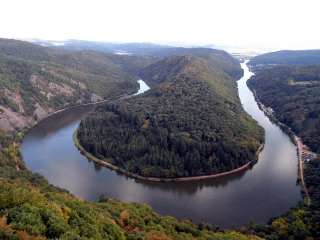
The Saarschleife, the great bend in the Saar at Mettlach, is a water gap cut by the river through a layer of quartzite, and the best-known attraction in the Saarland. It begins near the Besseringen district of Merzig and ends at Mettlach; the two are only about two kilometres apart, but the river takes a winding course of considerably more to get between them. The view from the Cloef above it is the reason to come, and a treetop walkway now runs out over the slope to reach it.
Ansehen
Lesen und planen
In der Nähe, über Grenzen hinweg
Im Umkreis von 60 km um diesen Ort, in jedem Land.