Ben Nevis
The highest ground for 739 kilometres
Photo de Thincat sur Wikimedia Commons
Pas encore disponible en français. Affiché en anglais.
À propos de Ben Nevis
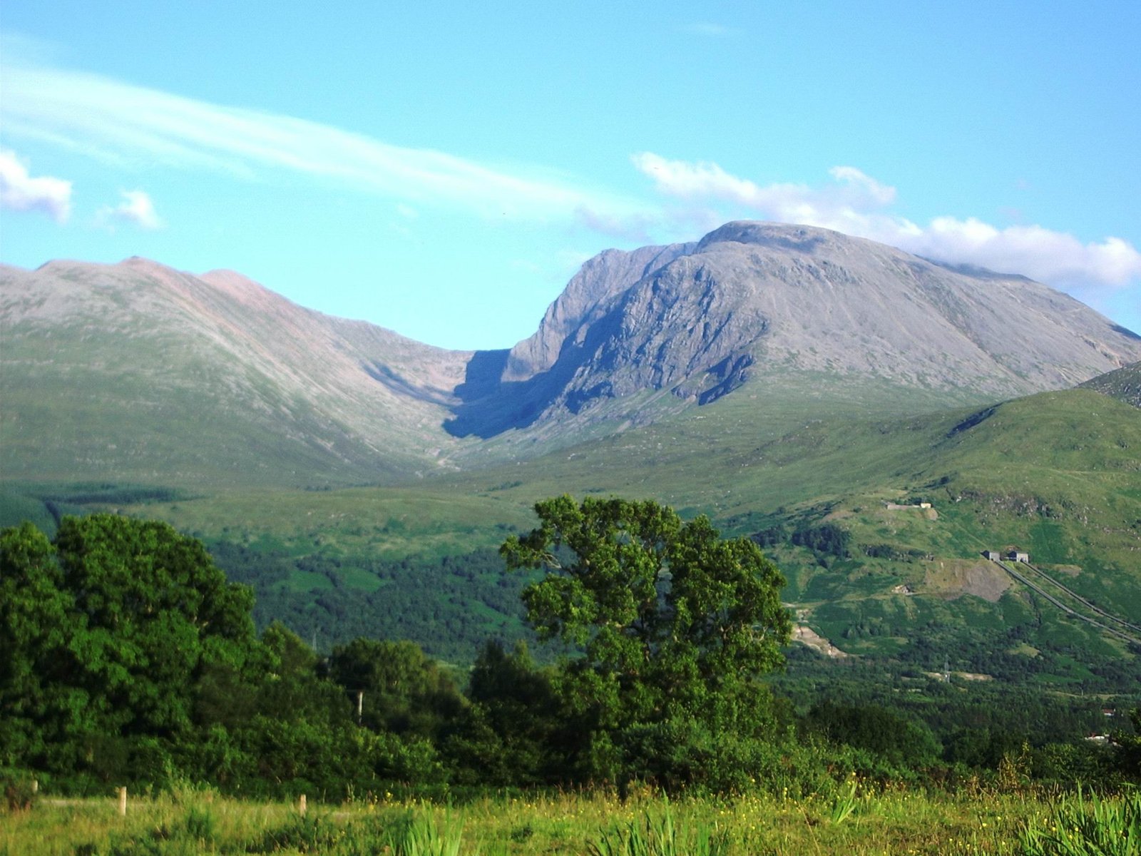
The highest mountain in the British Isles at 1,345 metres, and the highest land in any direction for 739 kilometres. About 150,000 people a year come, roughly three-quarters by the Mountain Track from Glen Nevis, and a foot race has been run up it since 1898. The 700-metre cliffs of the north face are among the tallest in Scotland and the principal ice-climbing ground in the country. The summit is a stony felsenmeer plateau carrying monuments and the ruins of an observatory staffed continuously from 1883 to 1904; C. T. R. Wilson conceived the cloud chamber after working there.
Regarder
Lire et planifier
À proximité, au-delà des frontières
À moins de 60 km de ce lieu, dans n'importe quel pays.