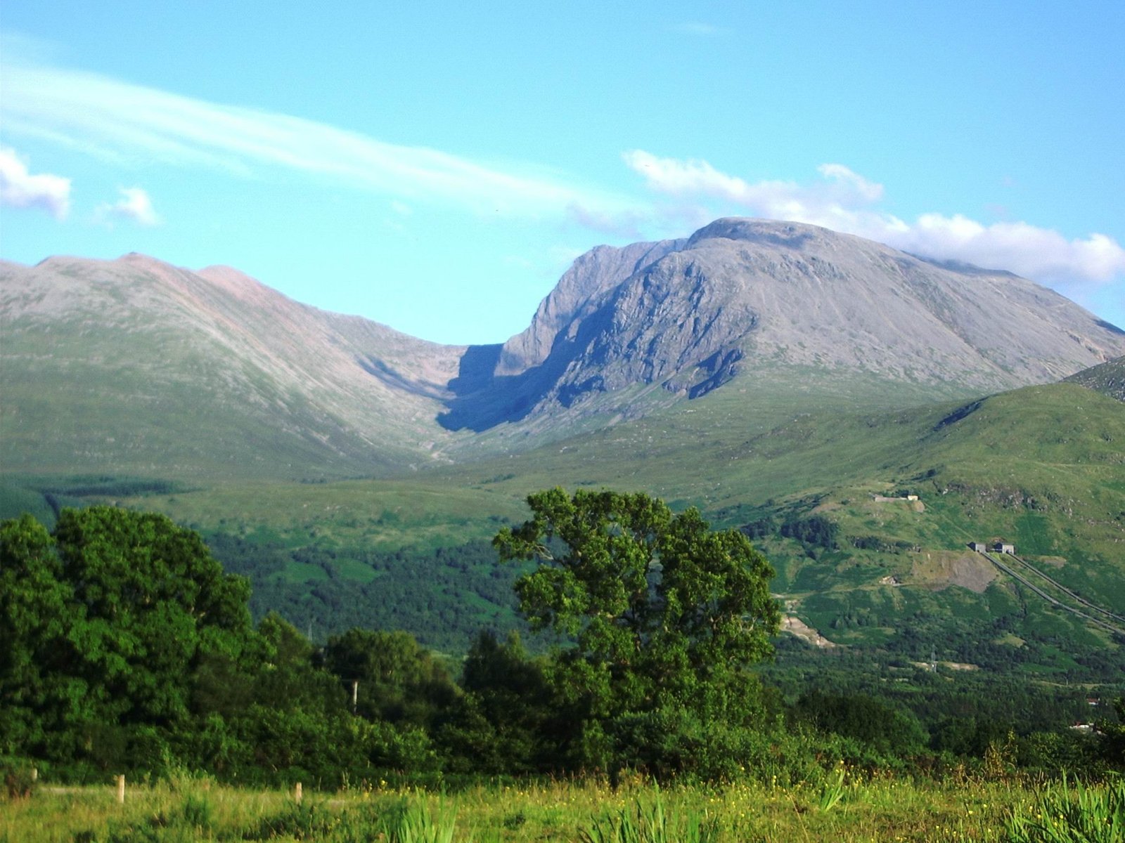
Ben Nevis
The highest ground for 739 kilometres
Foto von Thincat auf Wikimedia Commons
Noch nicht auf Deutsch verfügbar. Angezeigt wird die Fassung auf Englisch.
Über Ben Nevis
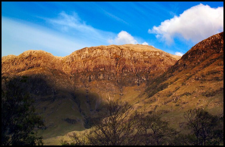
The highest mountain in the British Isles at 1,345 metres, and the highest land in any direction for 739 kilometres. About 150,000 people a year come, roughly three-quarters by the Mountain Track from Glen Nevis, and a foot race has been run up it since 1898. The 700-metre cliffs of the north face are among the tallest in Scotland and the principal ice-climbing ground in the country. The summit is a stony felsenmeer plateau carrying monuments and the ruins of an observatory staffed continuously from 1883 to 1904; C. T. R. Wilson conceived the cloud chamber after working there.
Ansehen
Lesen und planen
In der Nähe, über Grenzen hinweg
Im Umkreis von 60 km um diesen Ort, in jedem Land.