South West England Schloss und LandhausCoastal & cliff walkingInsel & Inselgruppe
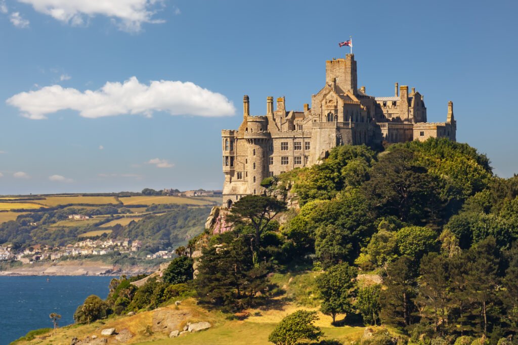
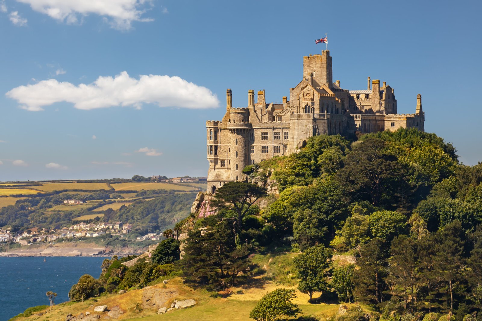
St Michael’s Mount
A causeway passable between mid-tide and low
Foto von Werner Wilmes auf Wikimedia Commons
Noch nicht auf Deutsch verfügbar. Angezeigt wird die Fassung auf Englisch.
Über St Michael’s Mount
A tidal island in Mount’s Bay linked to Marazion by a granite causeway you can cross between mid-tide and low water, with up to five metres of difference between low and high. Its Cornish name means the grey rock in a wood, which may be a folk memory: Mount’s Bay was flooded around 1700 BC, and storms still uncover the remains of ancient trees at low tide. It is the English counterpart of Mont-Saint-Michel in Normandy and one of forty-three unbridged tidal islands reachable on foot from mainland Britain. The St Aubyn family have lived in the castle since about 1650.
Ansehen