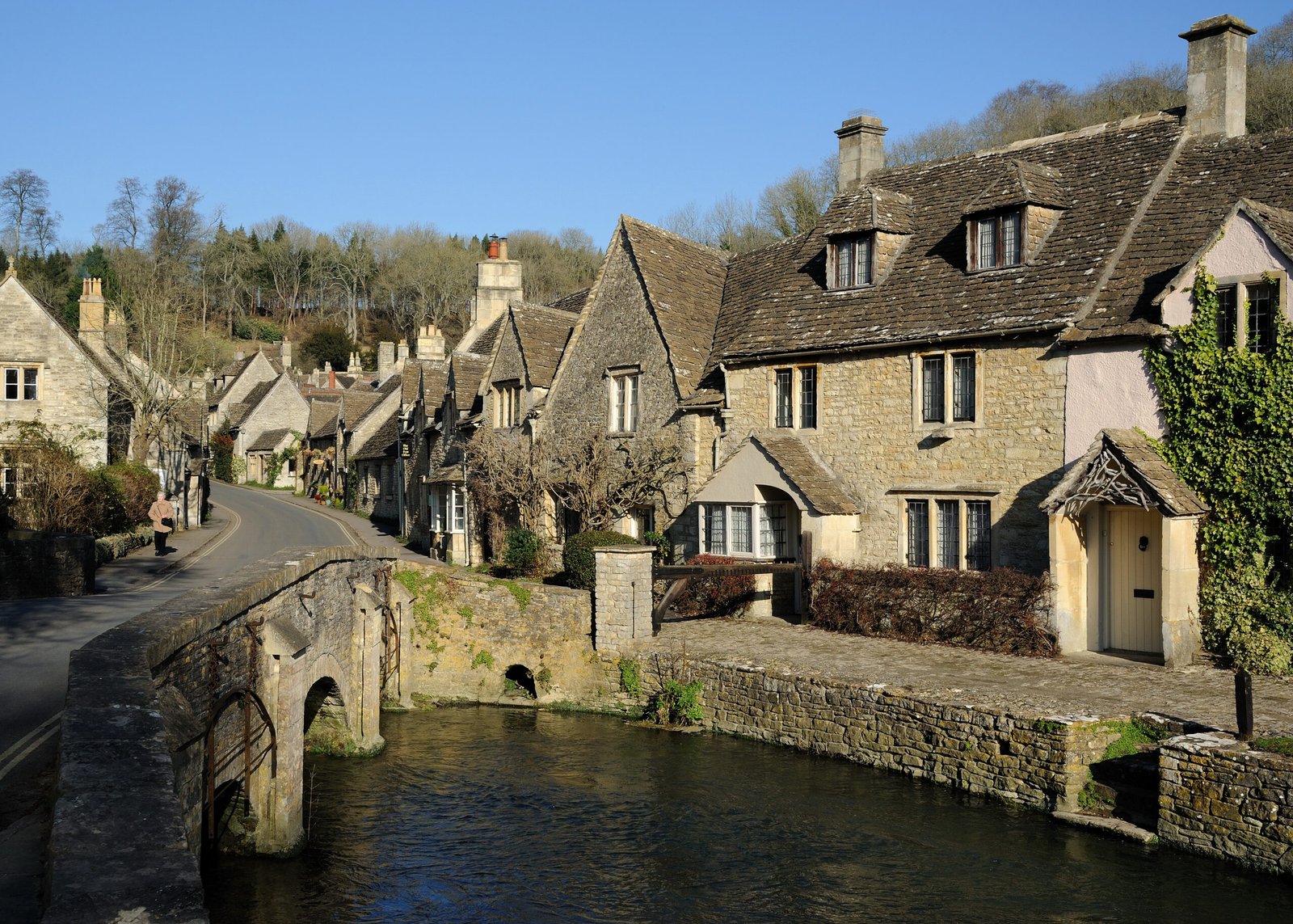
Cotswolds
England's third-largest protected landscape
Foto von Saffron Blaze auf Wikimedia Commons
Noch nicht auf Deutsch verfügbar. Angezeigt wird die Fassung auf Englisch.
Über Cotswolds
A range of wolds rising from the meadows of the upper Thames to an escarpment above the Severn Valley and the Vale of Evesham, all of it sitting on Jurassic limestone, which is both the grassland habitat and the quarried golden stone the villages are built from. Cleeve Hill is the high point at 330 metres. The National Landscape designated in 1966 covers 787 square miles, roughly twenty-five miles across and ninety long, running from just south of Stratford-upon-Avon to just south of Bath, making it the largest such area and England’s third-largest protected landscape.
Ansehen
Lesen und planen
In der Nähe, über Grenzen hinweg
Im Umkreis von 60 km um diesen Ort, in jedem Land.