Lapland Aurora & night skyHeideland und MoorWandern in den Bergen
Riisitunturi National Park
Bog hanging on the hillsides
Foto von Harrim auf Wikimedia Commons
Noch nicht auf Deutsch verfügbar. Angezeigt wird die Fassung auf Englisch.
Über Riisitunturi National Park
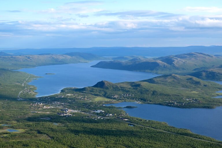
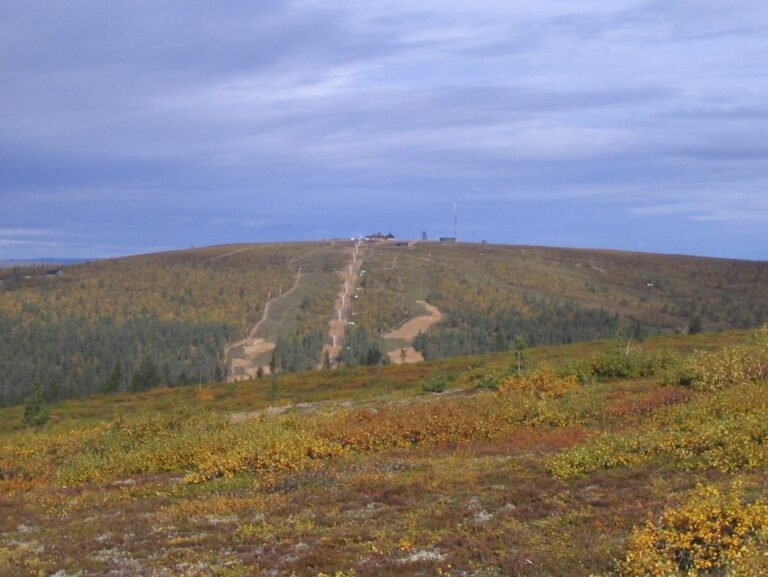
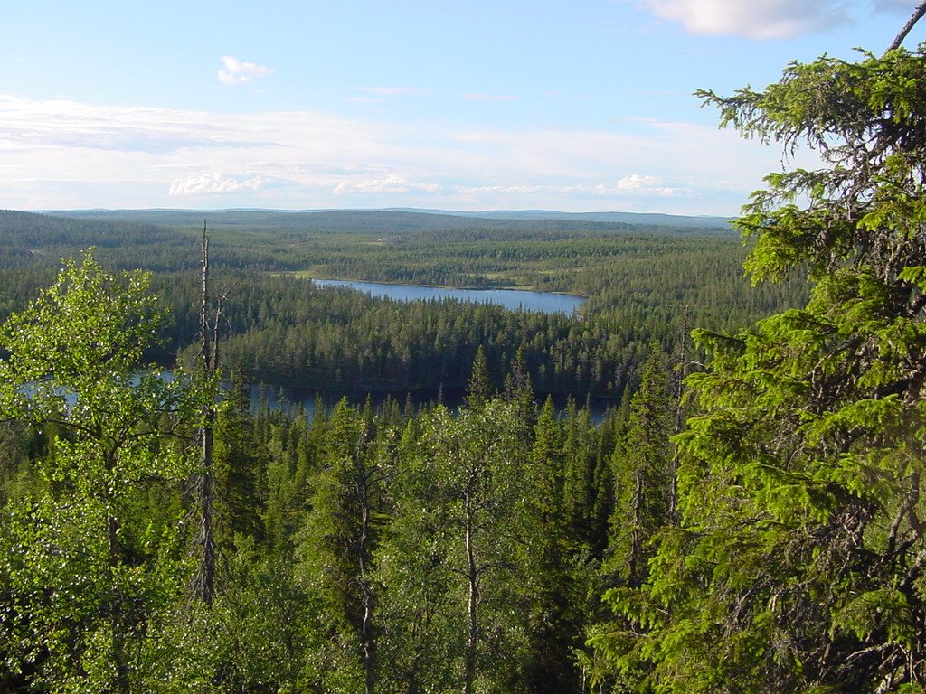
Seventy-seven square kilometres of Lapland fell country in Posio, protected as a national park since 1982, and unusual for how much of it is wet. Swamps run through the park, and hillside swamps in particular: bog hanging on sloping ground where you would expect it only on the flat. The terrain is mountainous around them. There is a single wilderness hut, standing near the twin peak of Riisitunturi at 465.3 metres, which is as much shelter as the park provides.
Ansehen